Mailbox Peak
With a rare Wednesday day off and a small break in the forecasted rain, Ramona and I decided to climb Mailbox Peak. This was our first hike along the I-90 corridor. We set off from the trailhead at about 10:00 under patchy cloud cover, heading up the new, switchbacked trail. The trail was in excellent condition, with only a couple of blowdowns. It was obvious that a lot of work had been put into making this trail, as it was smoothly graded and was a welcome change from being swallowed by the brush on my previous Mount Church attempt.
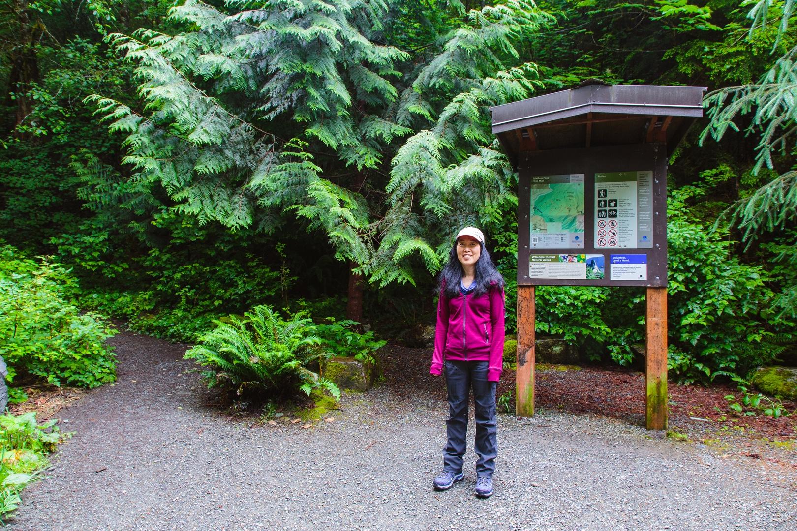
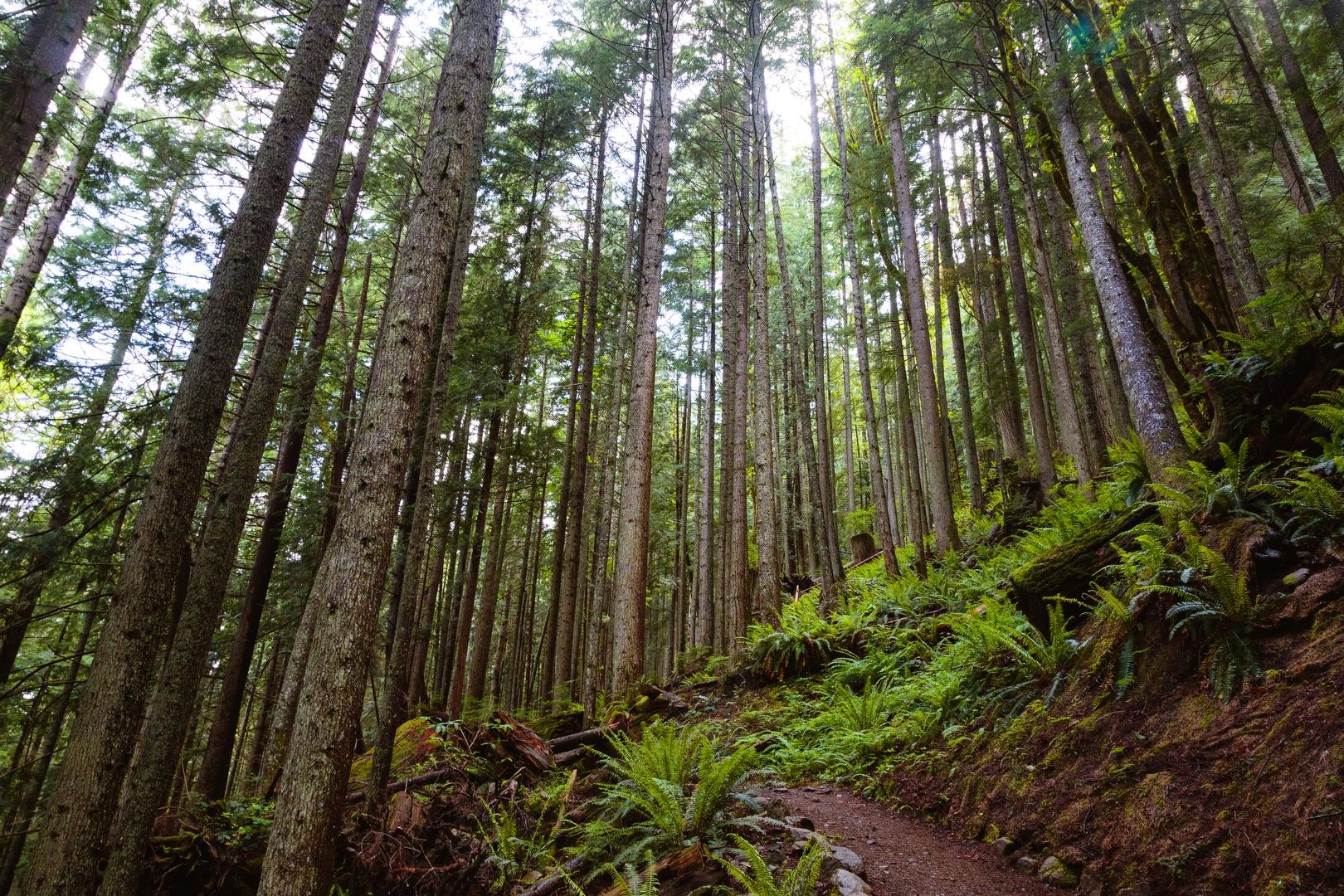
We wound our way up through beautiful forest canopies with occasional views to the west. With the proximity to Seattle, there were lots of people on the trail today as expected. Several were running down the trail after already summiting, some of whom were kind enough to wear a mask while passing us. Numerous flowers were beginning to bloom and we were serenaded by the beautiful calls of the Varied Thrush. We even saw a frog hop off of the trail in front of us.
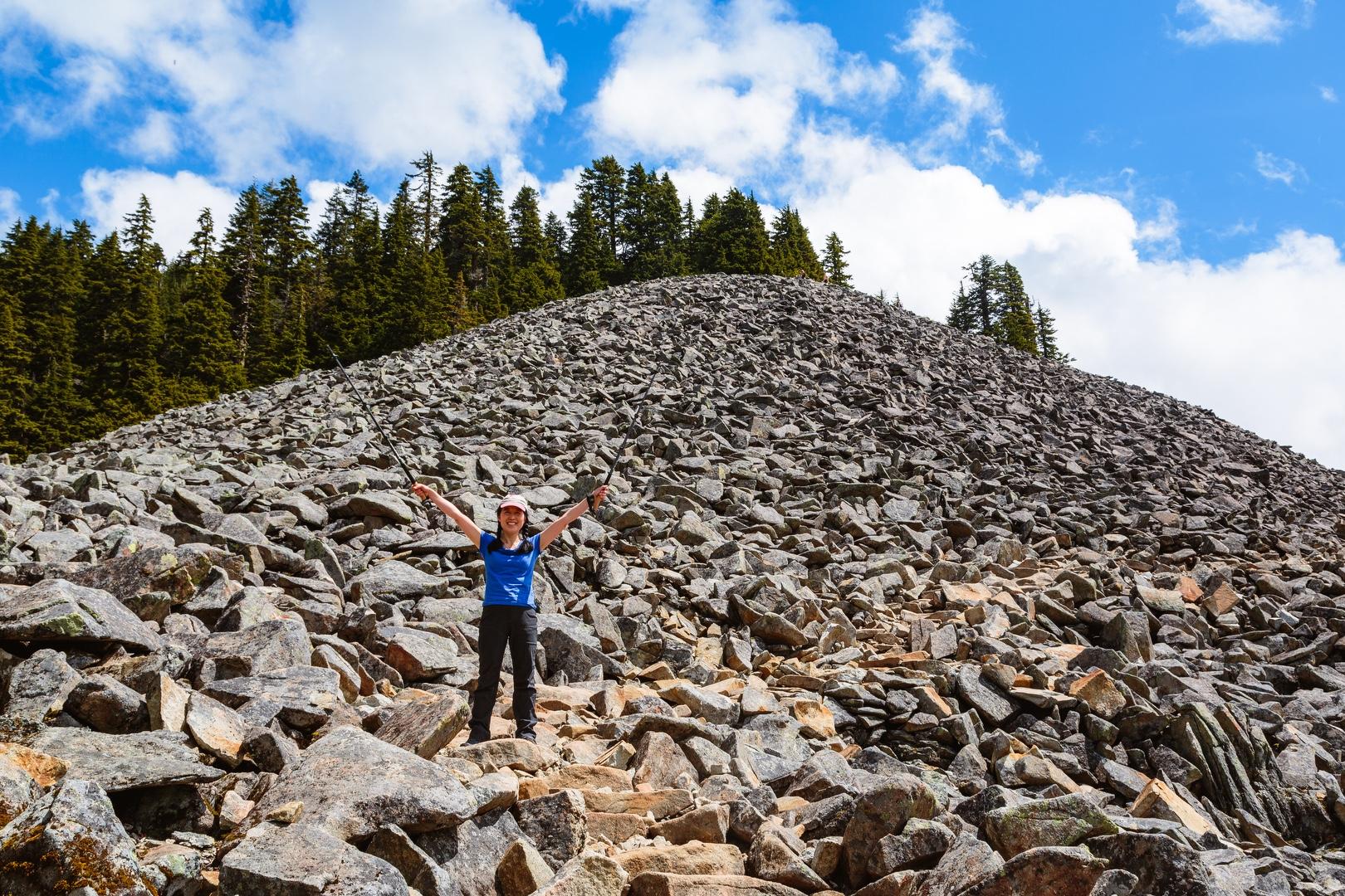
At about 3,800 feet, our trail joined the old trail and we soon entered the talus field, about 1,000 feet below the summit. One of the descending hikers described it as a "rock garden", which sounded appropriate given how nicely the stone steps were placed. Again, the excellent work on this trail was evident.
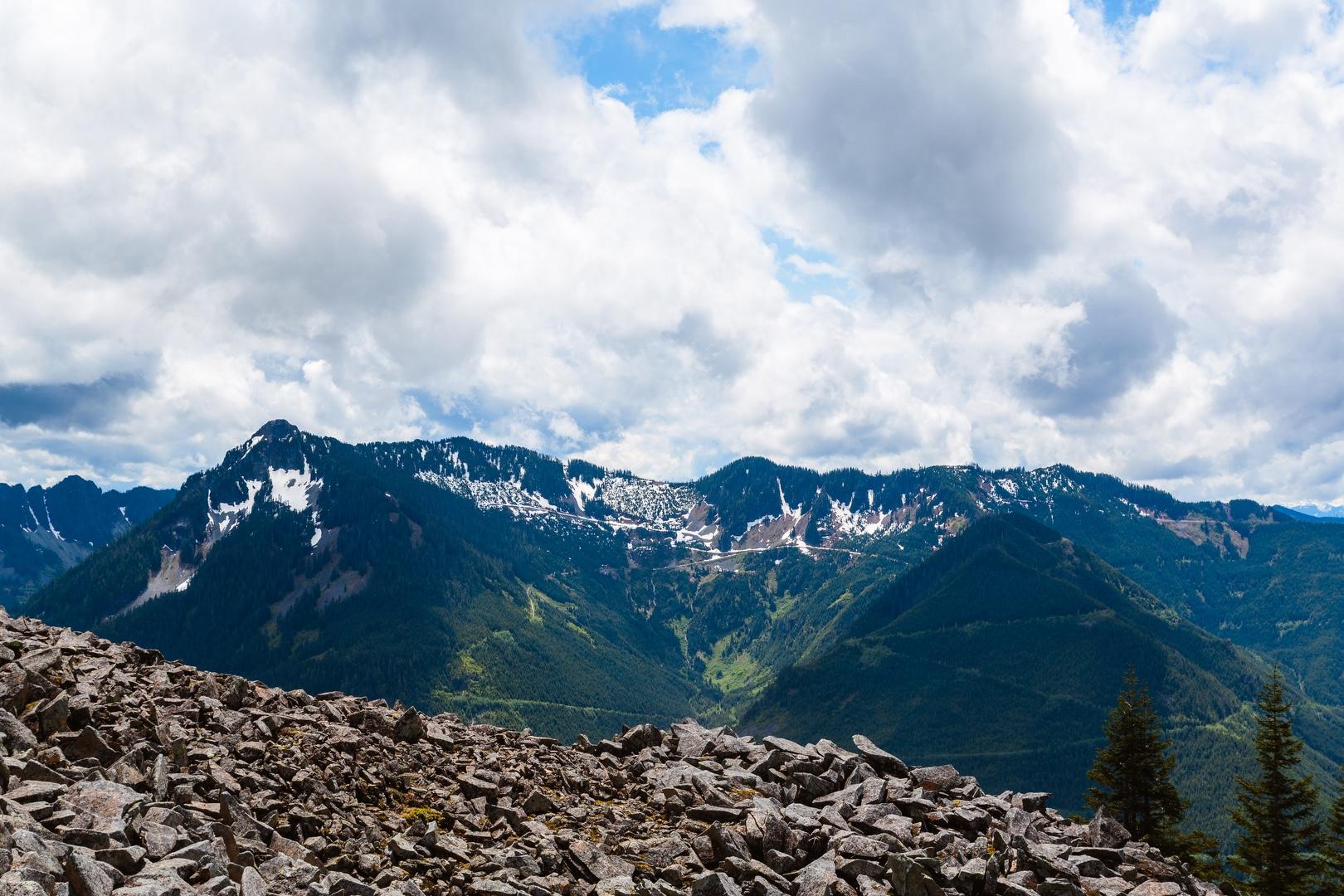
We had a nice view across I-90 to the southeast. I was hoping for a view of Mount Rainier, but the cloud cover today did not allow it. To the west, we could see Bellevue, Lake Washington and Seattle, with the Olympic range barely visible beyond.
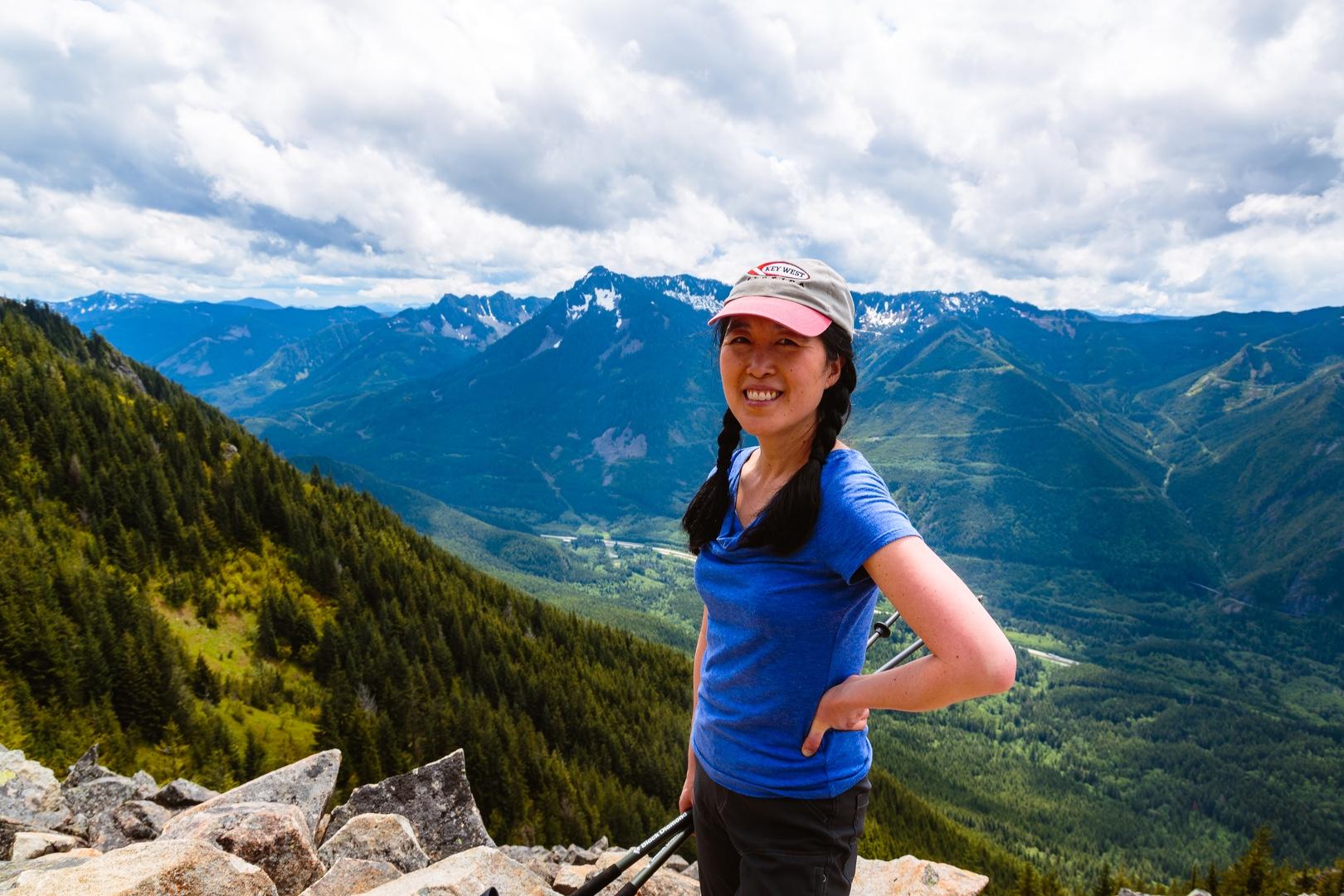
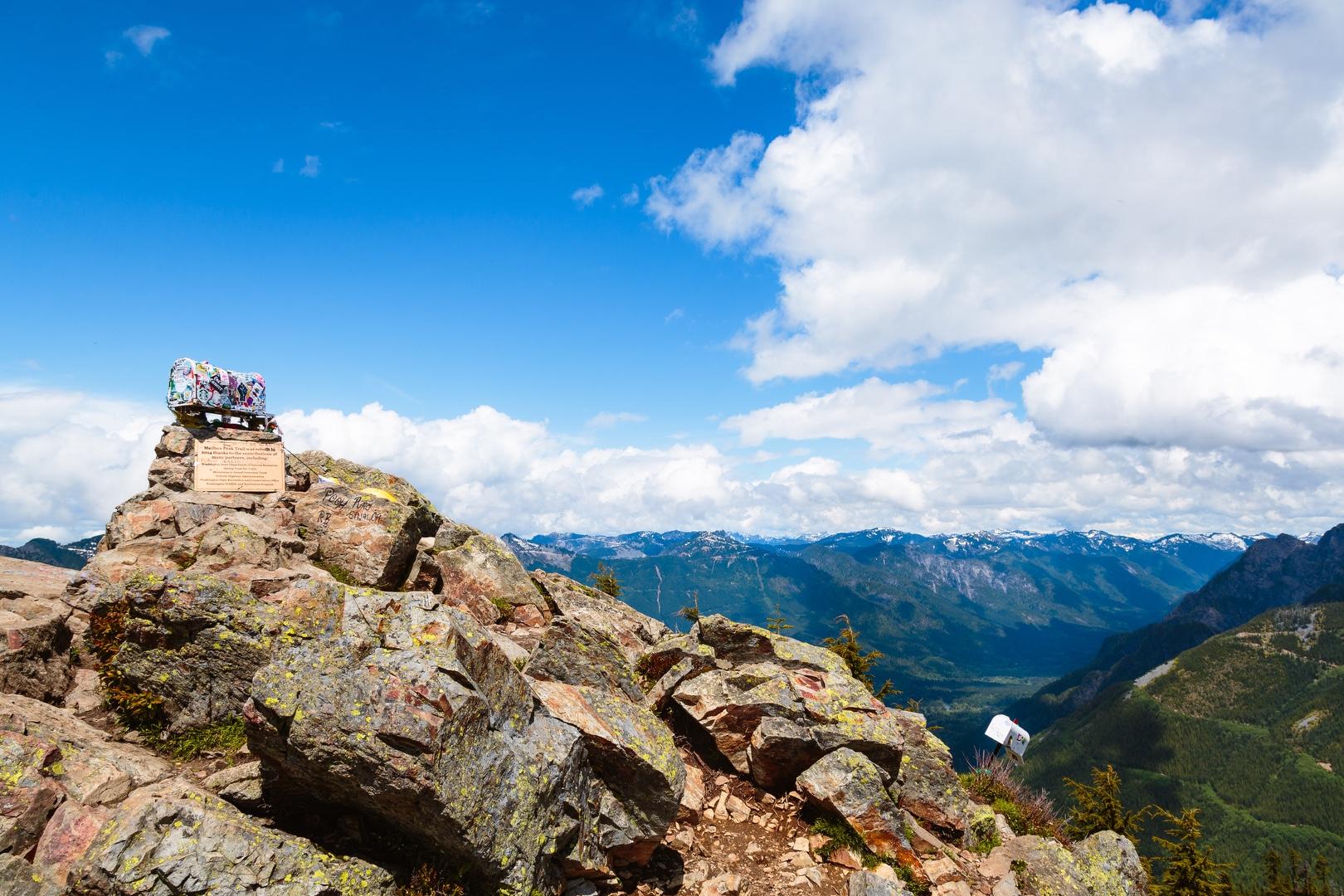
About 3.5 hours after beginning our hike, we reached the summit, adorned with not one but two mailboxes. We inspected the first one, finding it plastered with stickers and filled to capacity with trinkets. We found a flat rock just beyond the summit on the path toward Dirtybox Peak where we ate our lunch. At this point, we could see clouds rolling in from the southwest and soon we were drizzled with light precipitation. After finishing our lunch, we watched the clouds rolling up and over the ridge for awhile, then started our hike down.
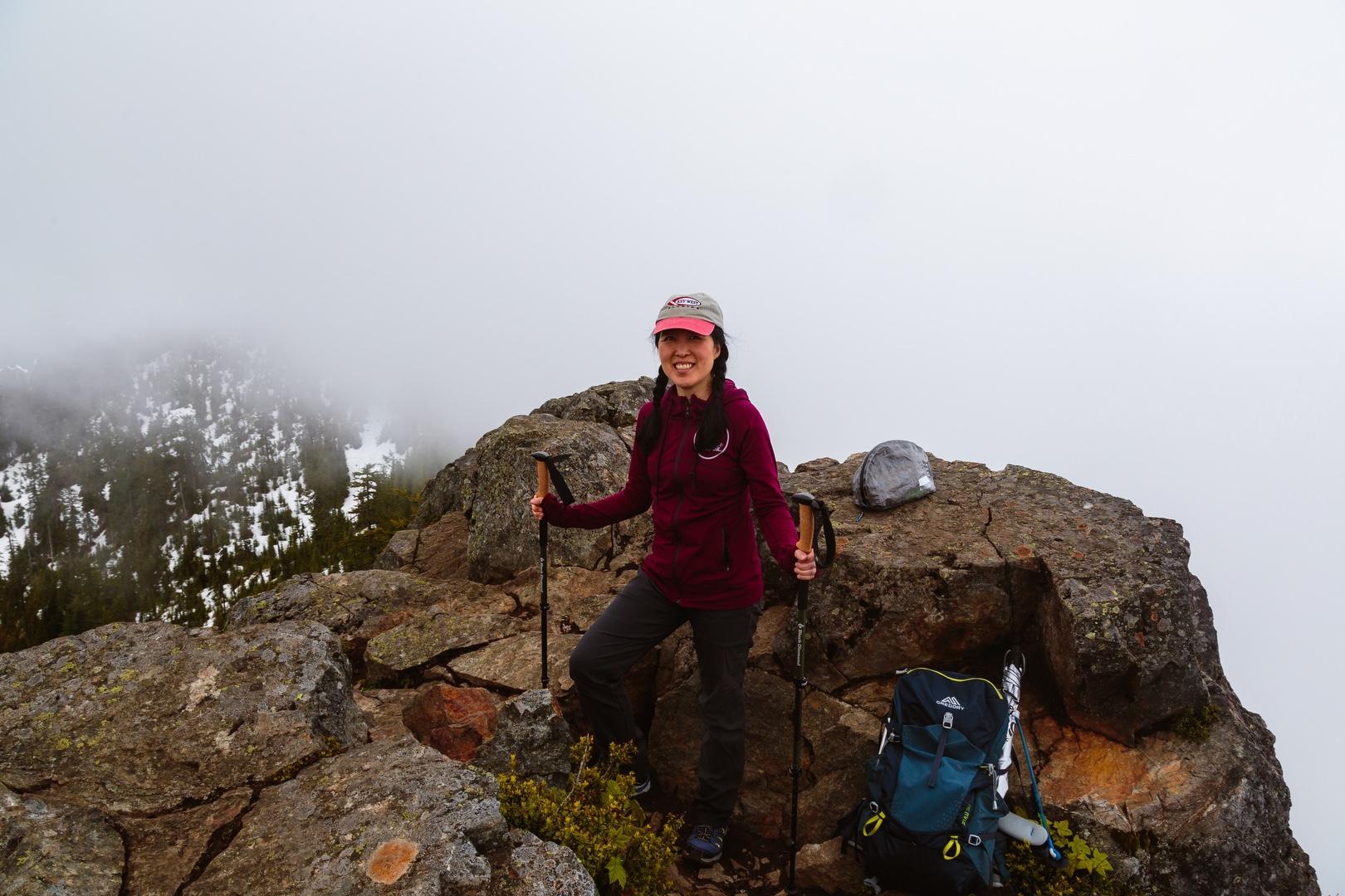
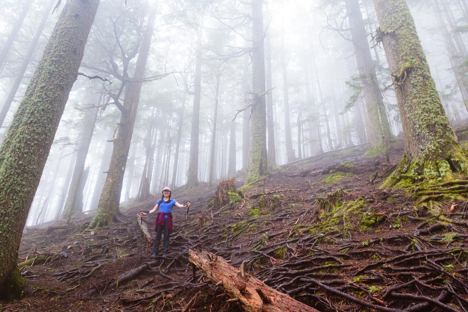
We decided to take the old trail on the way back, thinking it would be a little quicker than the meandering new trail. In retrospect, it's not clear that it saved us time because the steepness of the trail kept us from moving very fast. At one point, two older hikers we saw near the summit passed us going downhill at approximately twice our speed, almost bouncing down the mountain, smiling as they passed. They must have felt good passing a couple of relative youngsters. While walking in the forest, it began to rain pretty steadily and we were thankful for the tree canopy above. We saw several hikers who were caught in the rain on the summit, clothing drenched by the downpour.
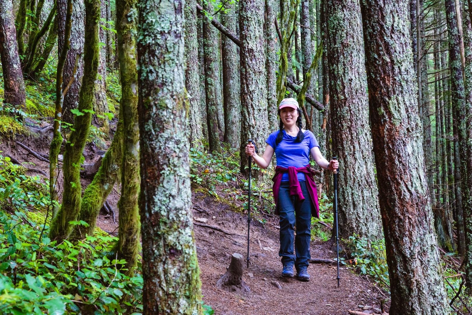
We made it back to trailhead in about 2 hours and 45 minutes with sore muscles and lifted spirits, ready to face Thursday.
Starting elevation: 833 ft | Elevation gain: 3,919 ft | Distance: 8.52 mi