Mount Ellinor
A beautiful day made for an excellent early season climb of Mt. Ellinor with Mike. He attempted this route a few weeks ago, but turned back after encountering heavy brush and snow on the trail. Due to warmer weather over the last couple of weeks, we thought the chances for completing the climb were better today.
With the road to the lower trailhead still partly snow covered, we decided to start at Big Creek Campground, hitting the trail at 8:15 AM. The campground was littered with tree brush, but the Big Creek Loop Trail had been cleared (thanks trail crew!). We took the clockwise loop from the campground and the Connector Trail to the Mt. Ellinor Trail, adding about 3 miles compared to starting at the Lower Trailhead. There were a couple of easily bypassed blowdowns on the Connector Trail and Mt. Ellinor Trail. We encountered intermittent consolidated snow on the trail at about 3,500 feet. Microspikes would have been helpful here, but we decided to wait until the chute to put on crampons.
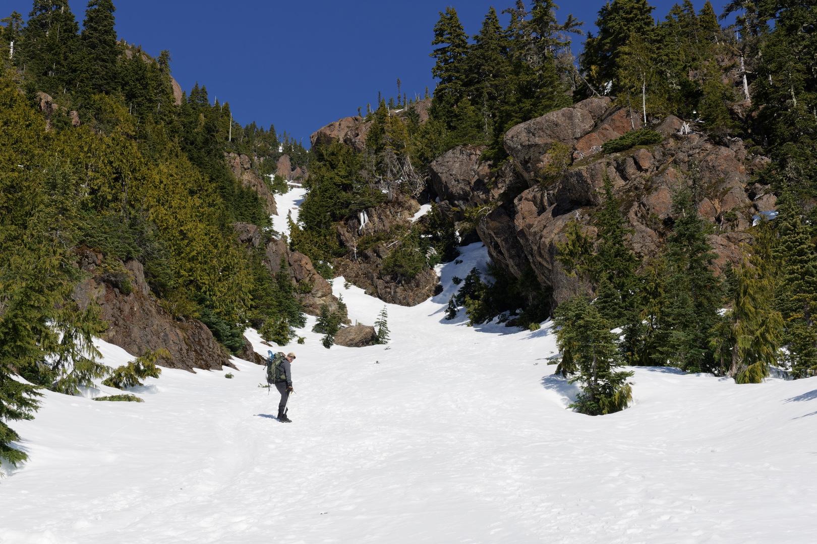
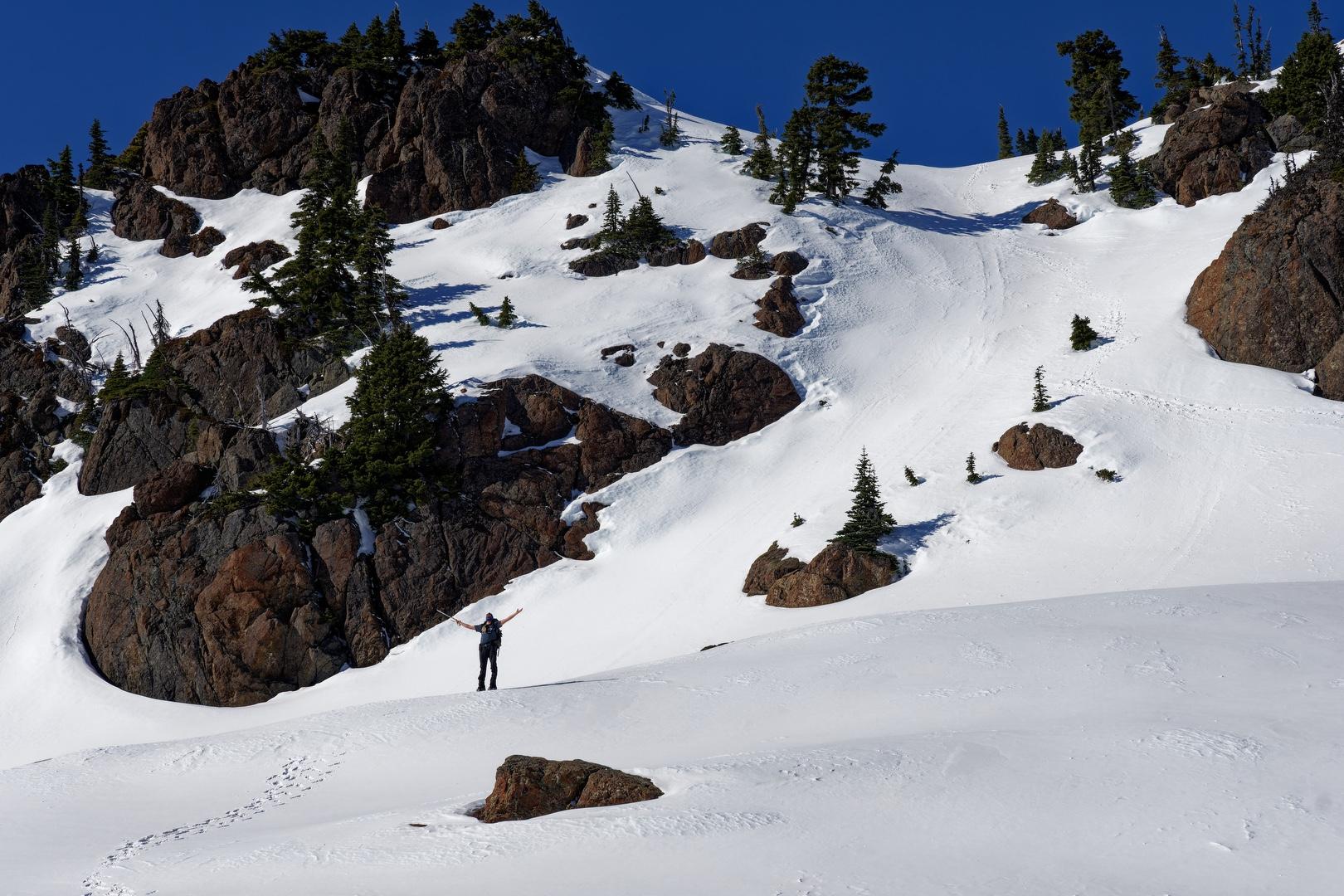
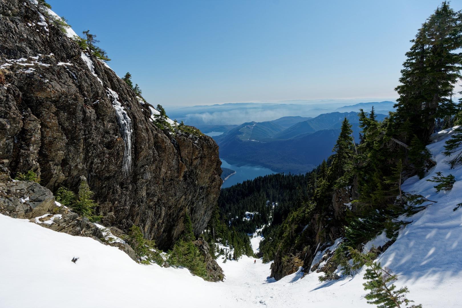
The snow on the chute was consolidated and frozen nearly solid, making it difficult to kick in steps. Traction was an issue, even with crampons, and I front-pointed at times. I'd say crampons and an ice axe are mandatory through this section, although a few climbers managed to make it up in microspikes.
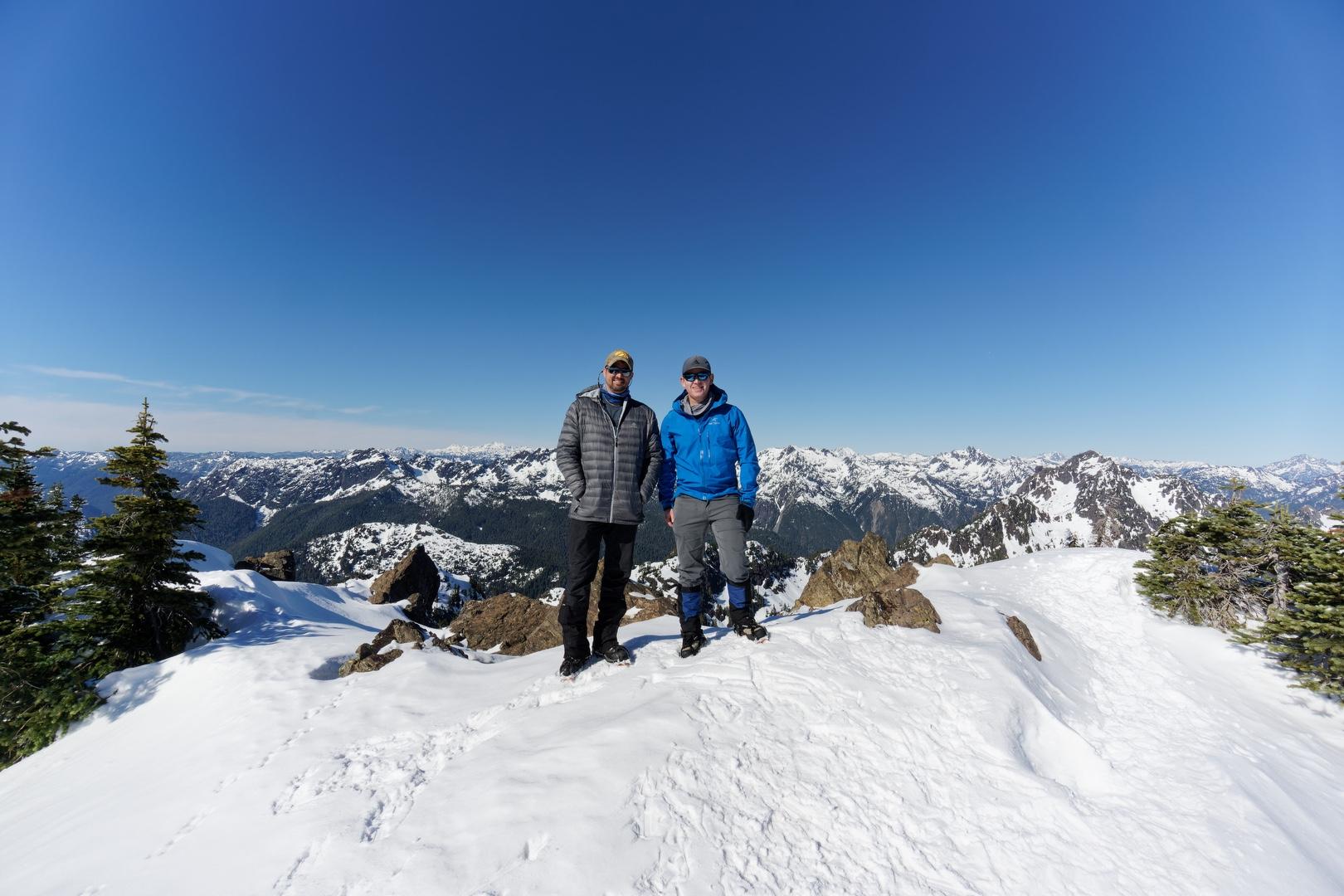
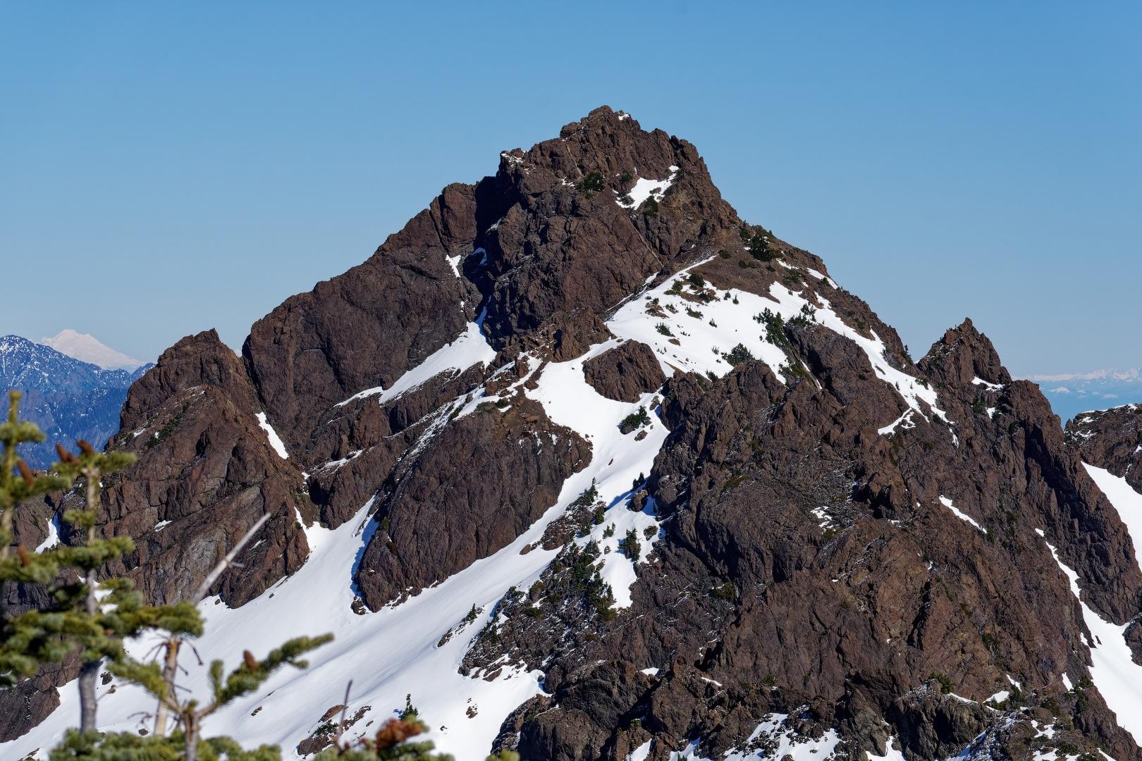
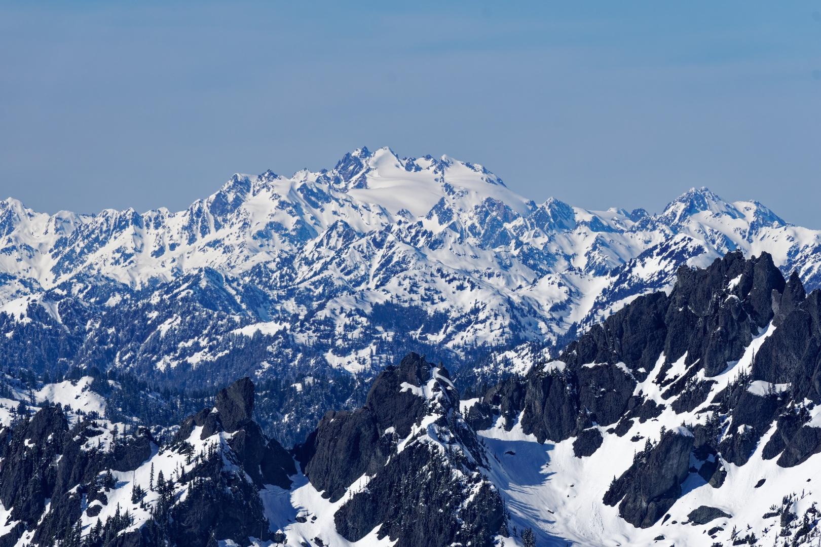
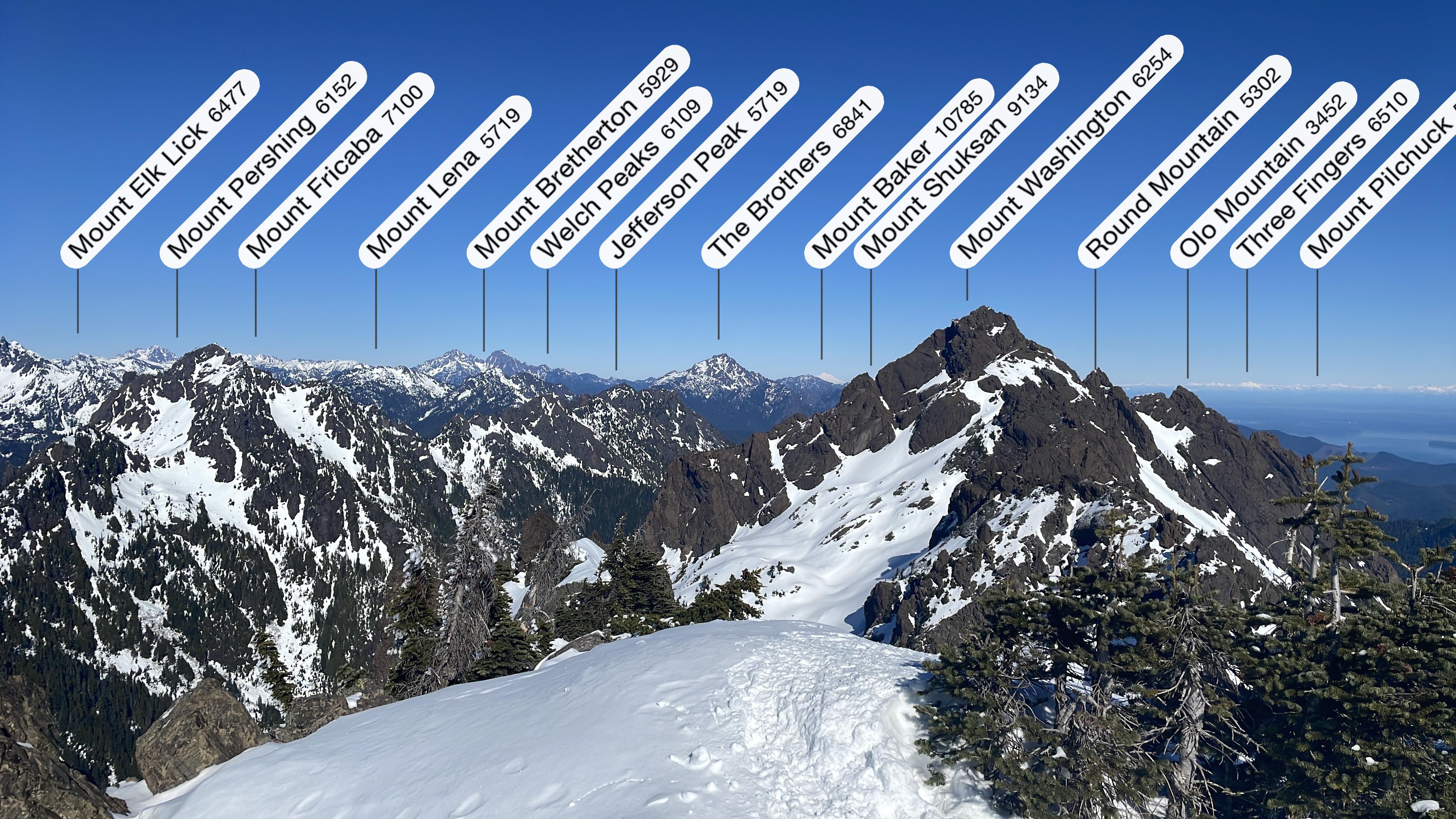
The views from the summit were spectacular, with five volcanoes (Baker, Glacier Peak, Rainier, Adams and St. Helens), Mt. Olympus and the interior Olympic Range were on full display. I felt fortunate for the view, because even nearby Mt. Washington has been difficult to see on previous climbs.
Four other climbers joined us on the summit and we took turns posing and taking summit photos. After a leasurely lunch in the sun, we headed back down, encountering a couple of backcountry skiers lugging their gear up.
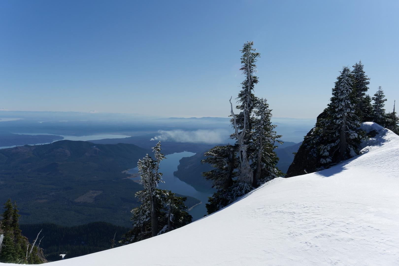
Descending the chute at around 1:00 PM, the snow was softer but still too firm to glissade from the top. My initial intent was to plunge step or down-climb the entire chute, but due to poor traction, I eventually slipped into an unintentional glissade, using the ice axe for speed control and keeping my crampon-laden boots elevated to avoid snagging them in the snow. Not the best glissade form, but this time it worked (pro tip: don't glissade while wearing crampons!). Back on the trail, we made quick time and arrived back at Big Creek Campground by 4 PM, feeling good about our 5,000 foot, 5-volcano day.
Starting elevation: 957 ft | Elevation gain: 5,010 ft | Distance: 12.8 mi