West Granite Mountain
"A scramble on a sunny low avy day" read the description posted to the Mountaineers website, announcing a proposed winter scramble of Granite Mountain. Sounds great, I thought, checking the climber prerequisites. Most of the scrambles I had seen posted so far required completion of either the Basic Scrambling or Basic Alpine Climbing courses, but this one allowed students to participate, so I was in.
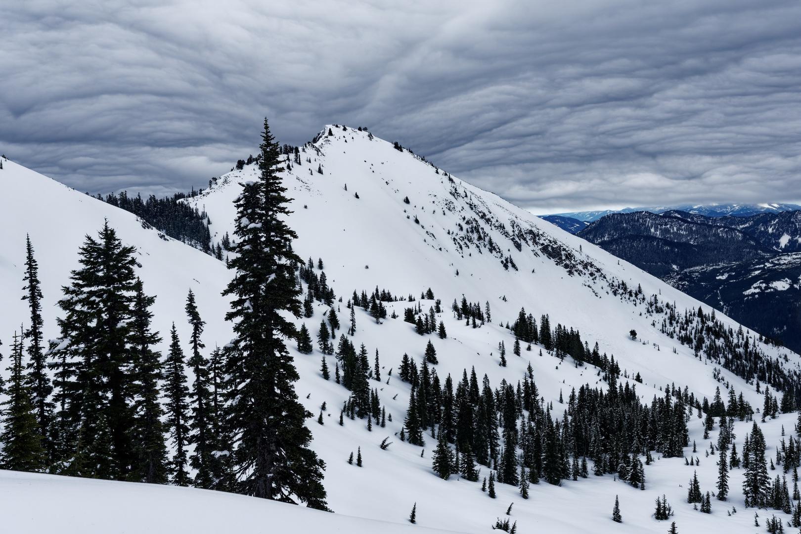
The climb leader, Rena, met our group of four at the trailhead at 8:30 AM. Because of heightened avalanche conditions developing since she had posted the trip, she recommended that we switch our objective to West Granite Mountain, also known as Tusk O'Granite. Situated to the northwest of Granite Mountain in the Alpine Lakes Wilderness, the approach to West Granite is less avalanche prone, avoiding the broad gullies on the south side of Granite. While not as popular as Granite and without a lookout at the summit, West Granite is still a worthy climb and it offers essentially the same views.
Under overcast skies, we set out from the Pratt Lake trailhead. Initially, there wasn't much snow on the trail and what we did encounter was a consolidated boot path.
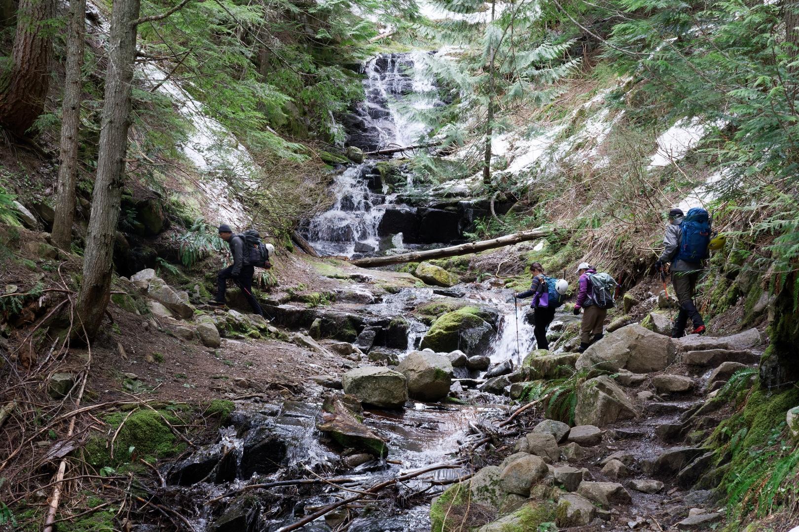
About 2.3 miles up the trail, we headed off trail through the trees to the northeast. Without much underbrush to contend with, we initially traveled easily uphill. At about 3,500 feet, we encountered more consistent snow cover and with the increasing elevation, the snow became deeper and softer. One of our group, Rajib, did an excellent job kicking in steps through the snow.
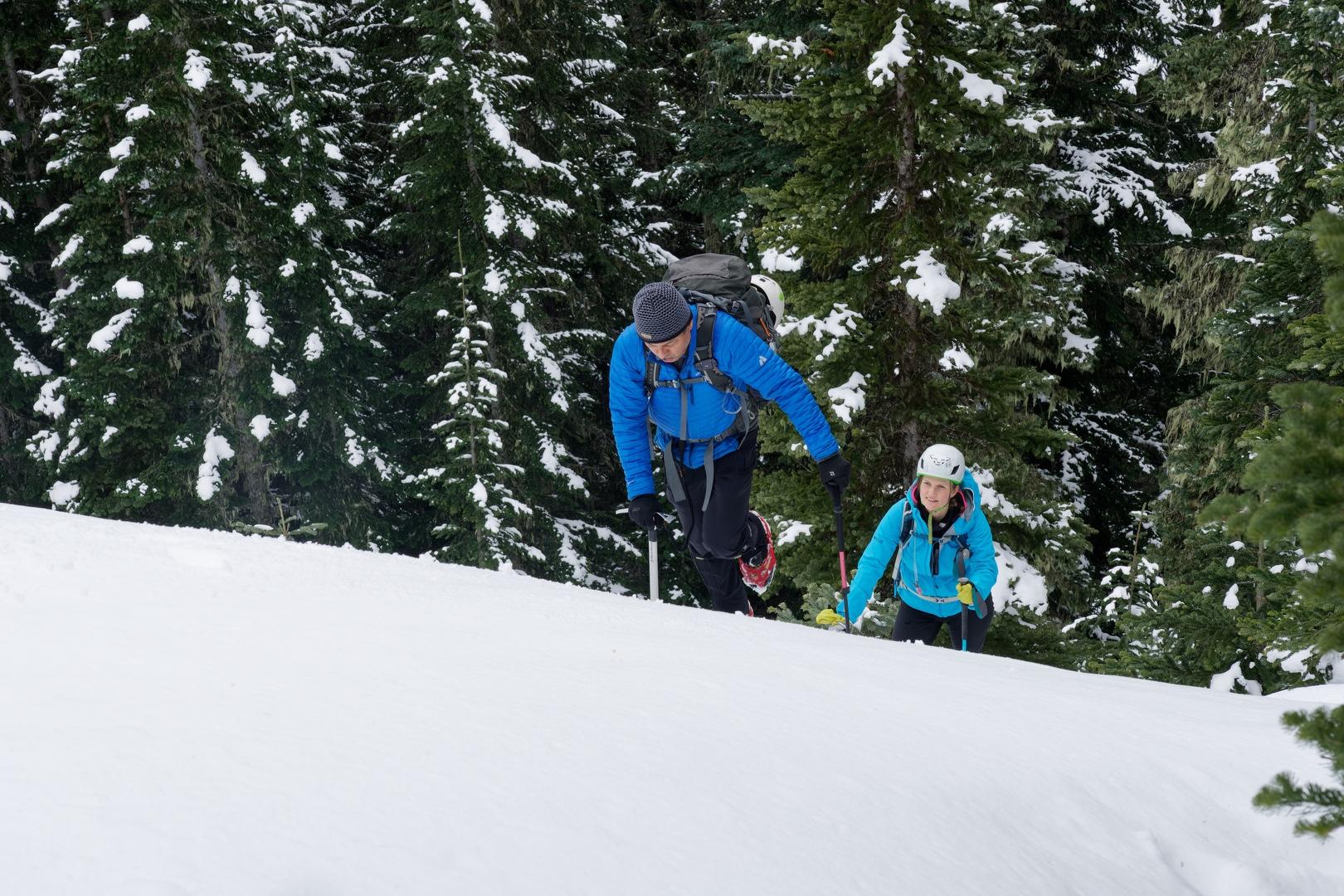
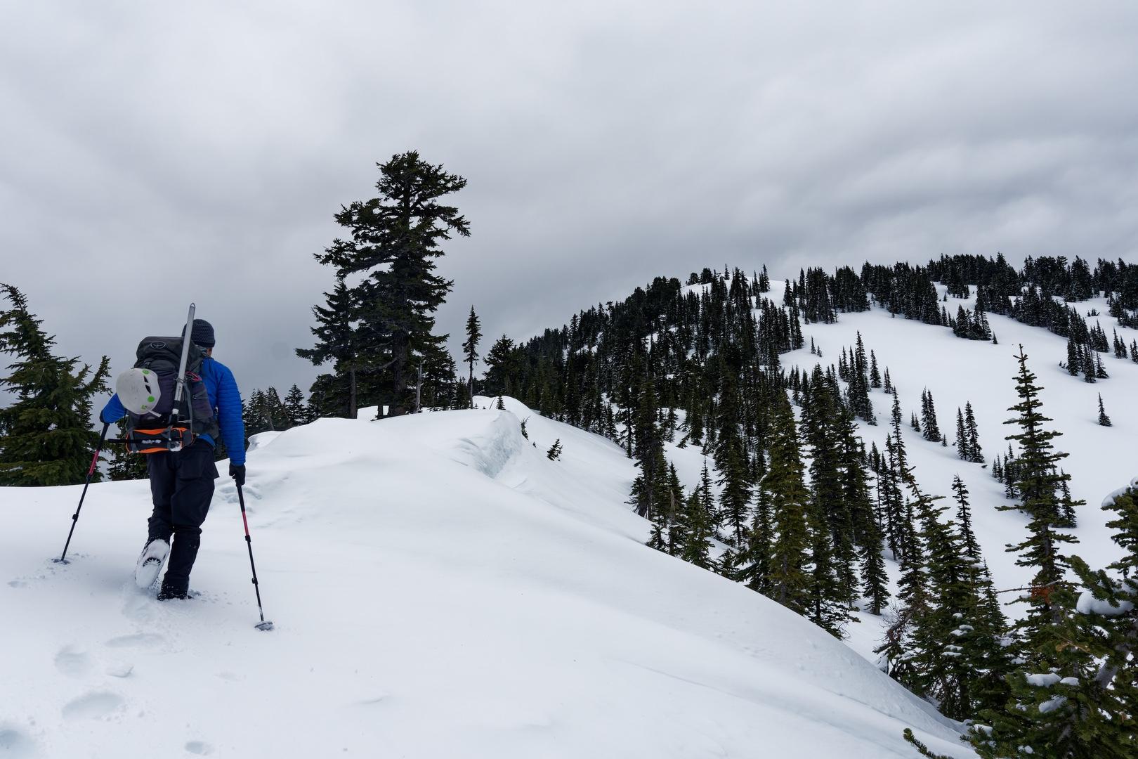
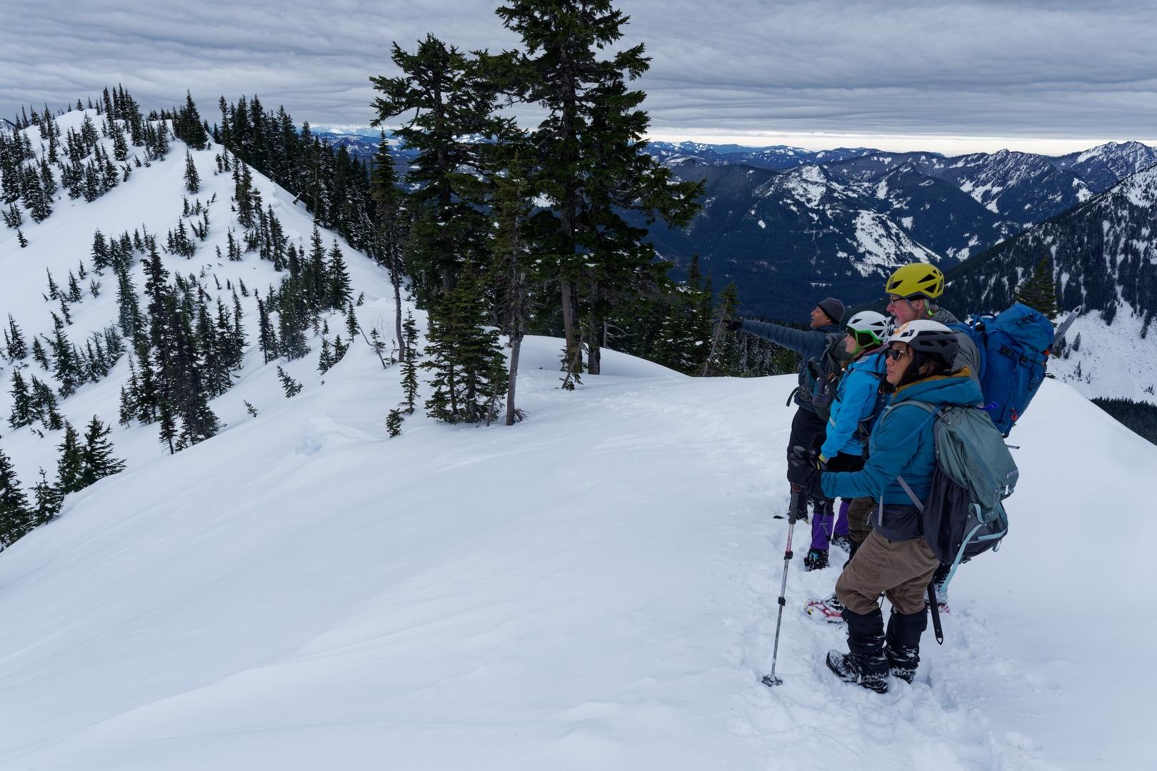
Eventually tiring, Rajib asked for help kicking in steps. Another student, Krissy, was next in line, but she felt uncomfortable with the steep pitch of the climb. I was next in line behind her and made an attempt to lead, but also had trouble. Finding it difficult to kick in steps with my approach shoes, I attempted to walk up the surface but soon slipped backward about five feet. At that point, Rena recommended that we switch our hiking poles for ice axes. I still continued on my straight-ahead uphill approach using the ice axe self-belay and kicking in steps when I could. The more experienced members of the group, wearing their mountaineering boots, had an easier time kicking steps and took a route up through the trees next to me.
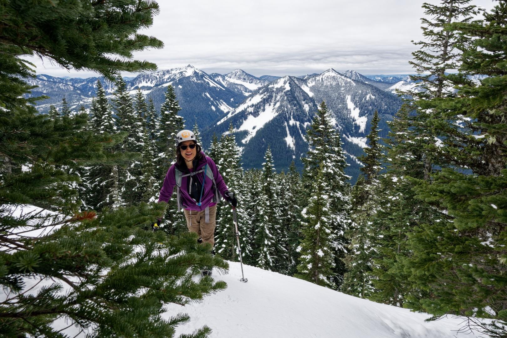
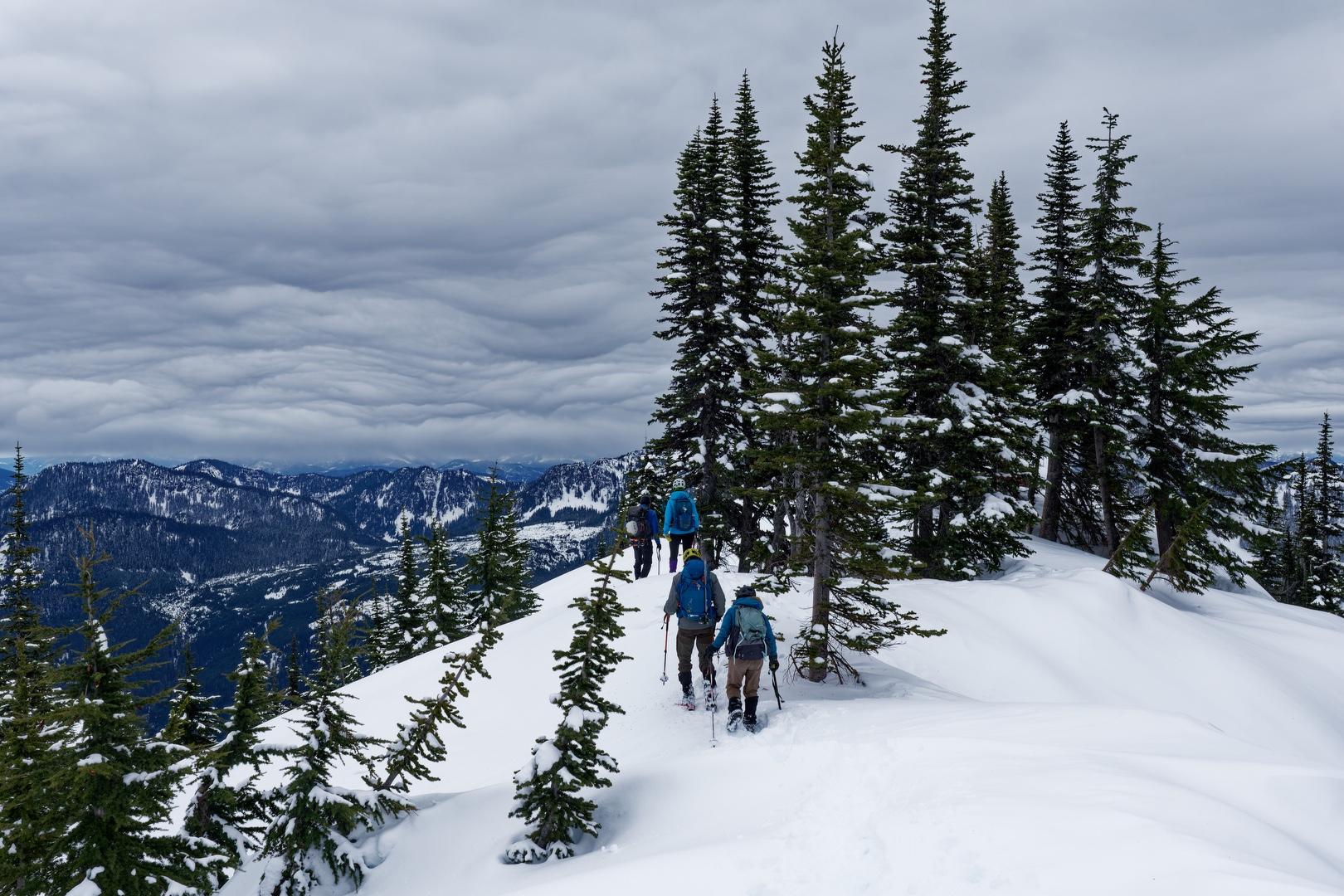
Gaining the ridge above the steep uphill section, we felt the most difficult part of the scramble was done. After a brief rest, we continued up the ridge. Approaching the summit, the views to the south opened up, with Silver and Pyramid peaks visible across the valley. Further up the ridge, the rumble of vehicle traffic on I-90 gave way to the relative quiet of our boots stepping through soft snow.
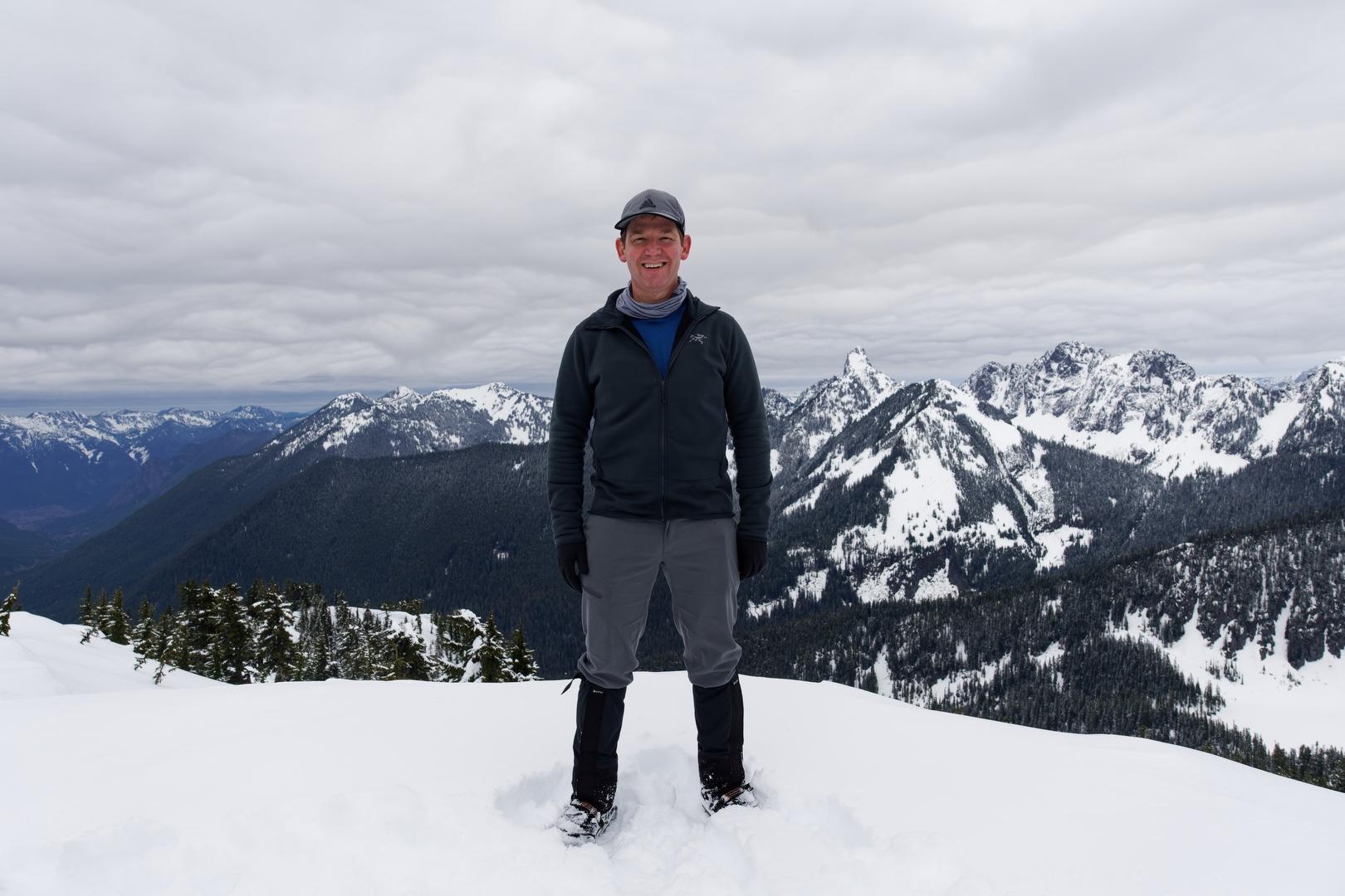
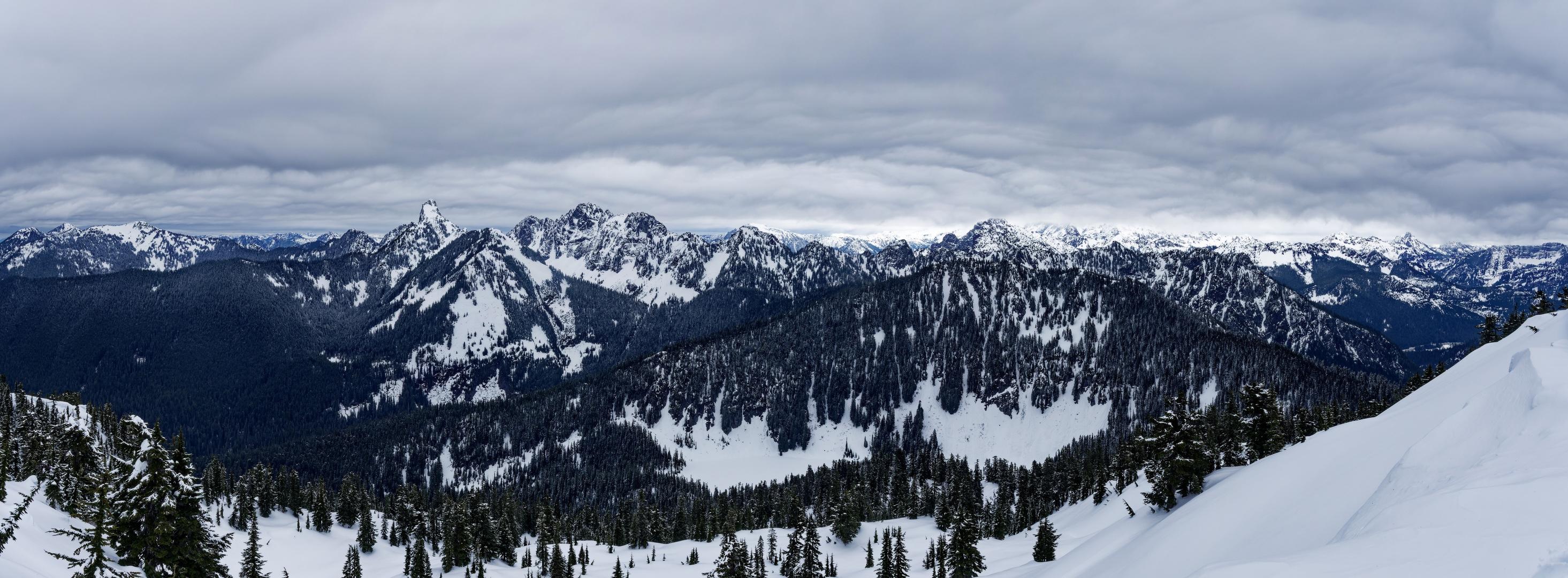
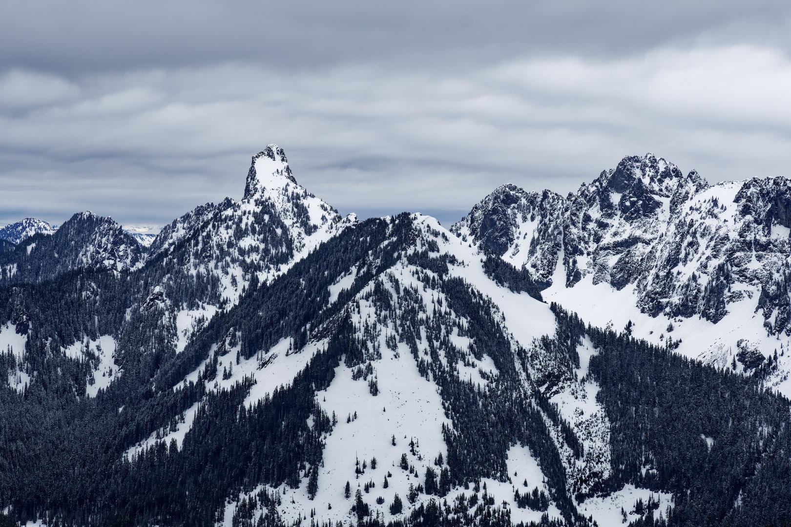
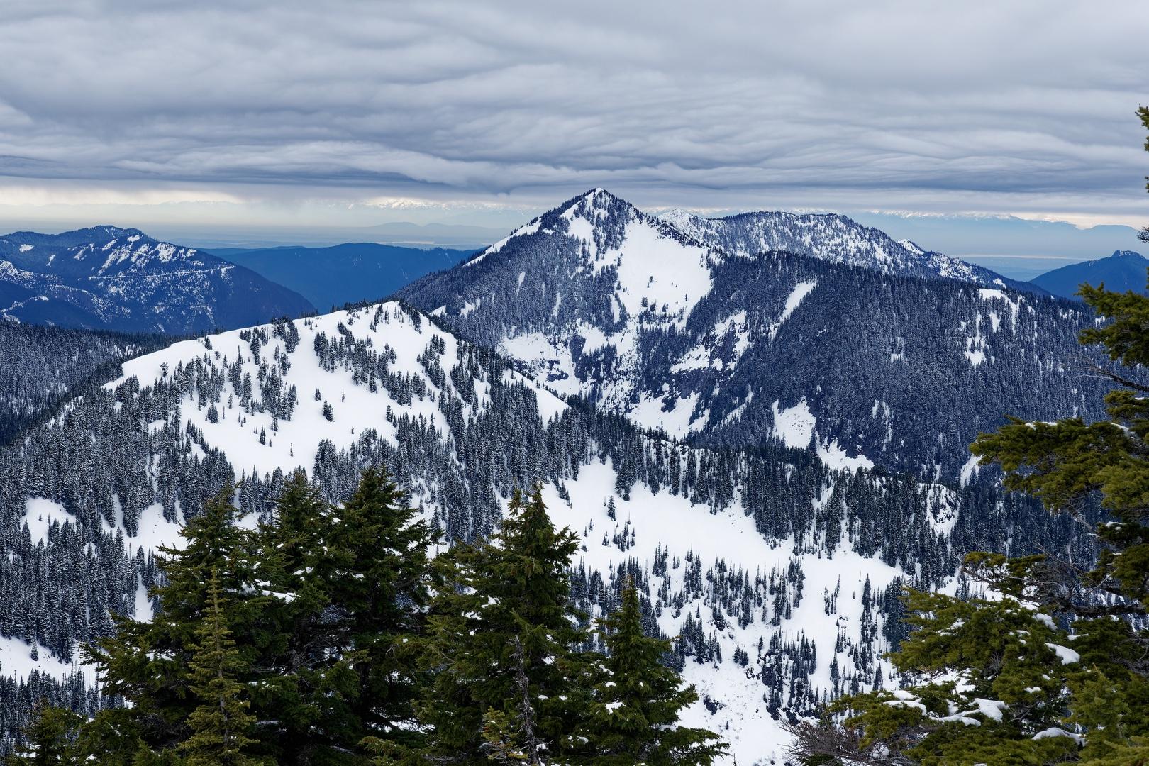
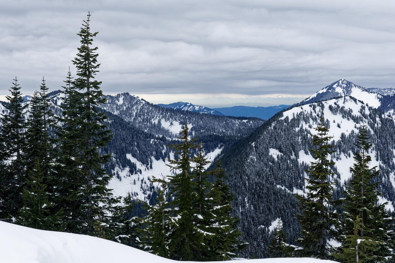
We arrived at the summit by 12:30 PM, greeted by expansive views of the Alpine Lakes Wilderness. This was my first view of Kaleetan Peak, an angular mass of rock jutting skyward above the neighboring ridge. Thankfully the cloud coverage was high enough to allow great views in almost all directions. We were buffeted by moderate wind gusts, but were comfortable in our clothing layers. We took a few summit photos and ate our lunch while soaking it all in.
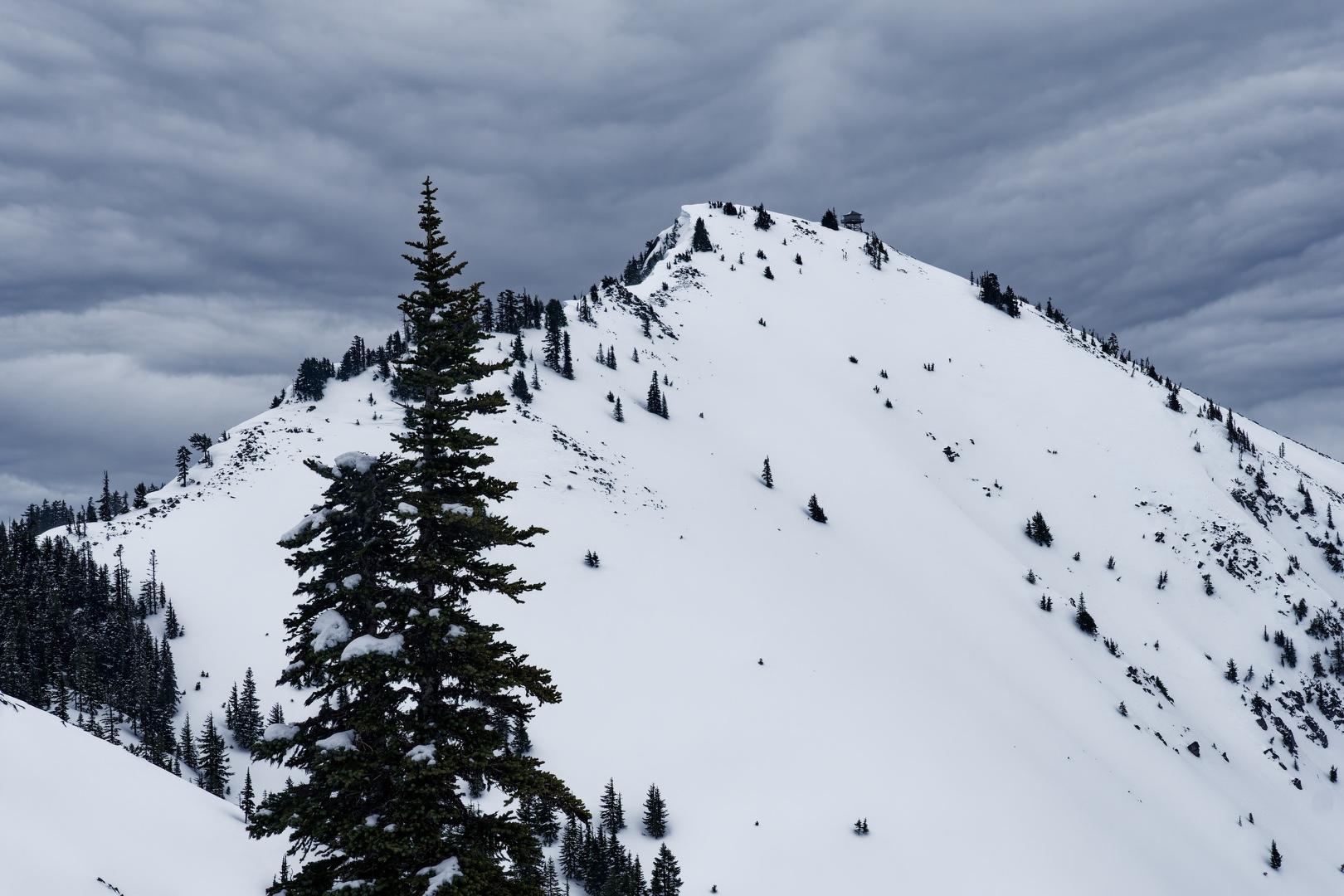
There was talk at the trailhead about possibly running the ridge over to Granite Mountain and looping back to the trailhead. While that would have made a nice trip, we were not moving fast enough and the group decided to head back the way we came. Plunge stepping down the steep snow-covered slopes, we headed back in a more direct line toward the trailhead than our ascent path, enjoying great views of Granite Mountain on the way down. We noticed some evidence of recent avalanche activity at the southwest base of Granite Mountain, validating our earlier decision to change climbing objectives.
We arrived back at the trailhead by 4:15 PM, debriefed and parted ways. I was thankful to travel with more experienced climbers today and I look forward to more Mountaineers trips in the future.
Starting elevation: 1,864 ft | Elevation Gain: 3,702 ft | Distance: 7.34 mi Equipment: microspikes, poles, ice axe, helmet