
High Rock Lookout, Allen Mountain
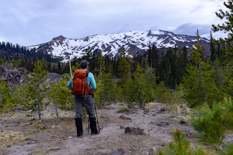
The weather report today called for partly cloudy conditions and often that makes for some interesting views. With that in mind, I headed out to High Rock Lookout, a former fire lookout with a great view of Mount Rainier. I'd been wanting to do this hike for some time I thought it would be a good time to check it out. Also, the trail will be closed later this Summer for restoration of the lookout building, so I wanted to get a trip in before that.
The hike is a relatively short 1.6 miles along Sawtooth Ridge, gaining 1,365 feet of elevation to the lookout which sits at 5,685 feet. No problem. But getting to the trailhead is a problem, as the forest road (FR 8440) is deeply rutted and challenging to navigate without a high clearance vehicle. The road does not look like it has received any grading or maintenance for a long time, surprising for such a popular destination. I was able to drive all the way to the trailhead in my Jeep, but I wondered how anyone without high clearance and four wheel drive would make it. After carefully picking my lines through the heavily washboarded road, I arrived at Towhead Gap, a flat area at the trailhead that can accommodate at least a dozen vehicles, but today it was empty.
On the drive in, I was hoping for the clouds to part and the sun to shine through, but that never happened and now at the trailhead, a misty rain began to fall. Switching my expectations away from a hike with views to an atmospheric rainy walk through the forest, I headed out.
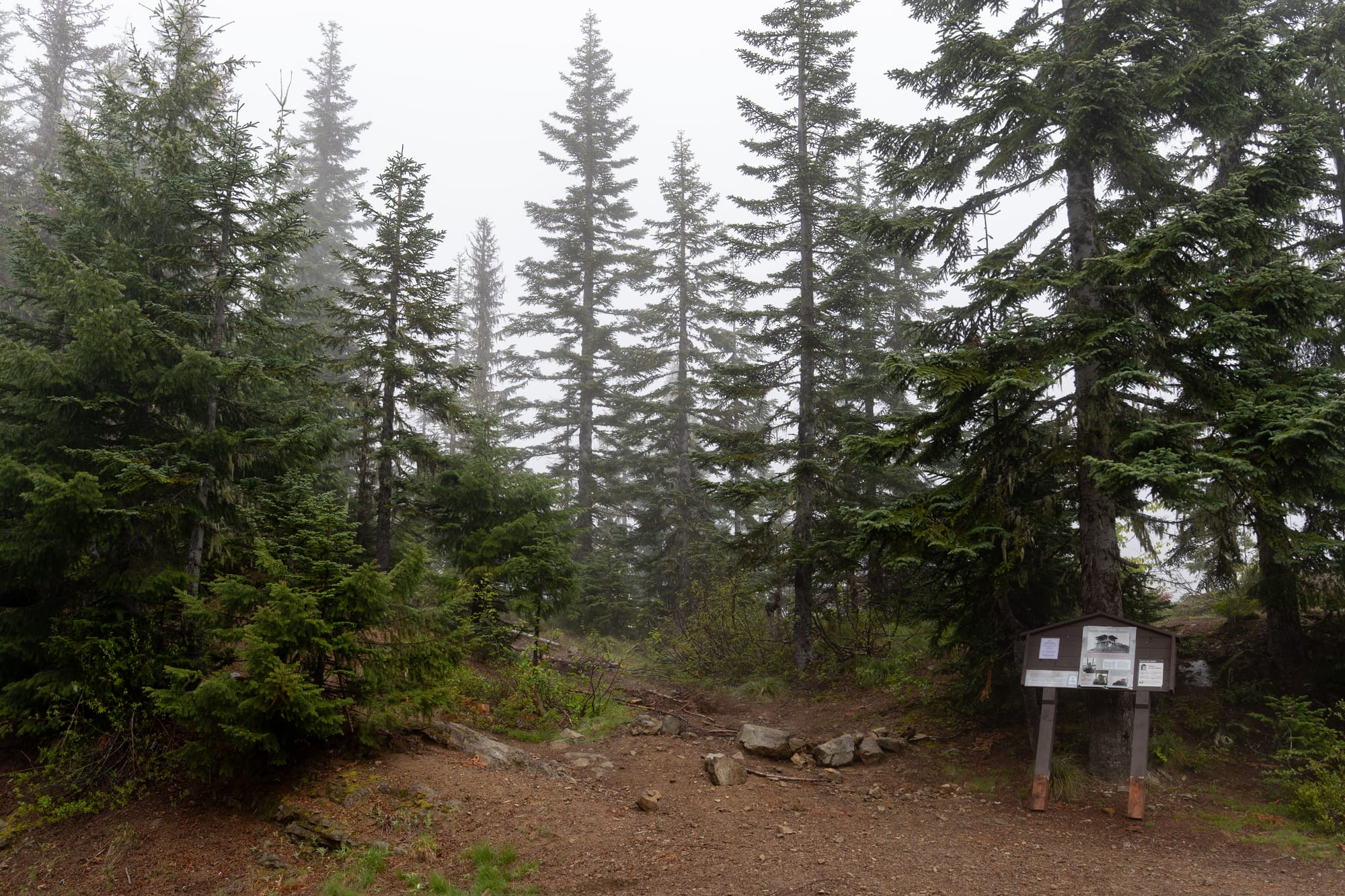
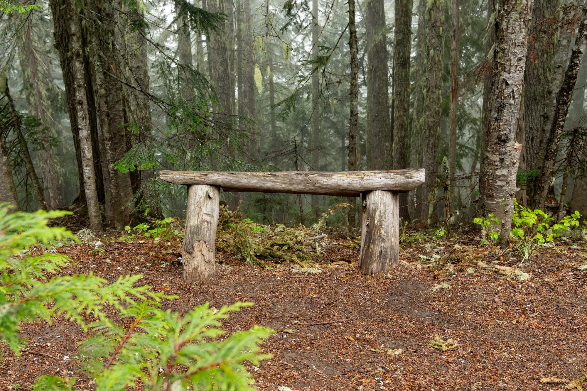
The trail itself is in quite good repair and follows a gentle upward climb along Sawtooth Ridge. There are two benches along the way to sit and contemplate the forest.
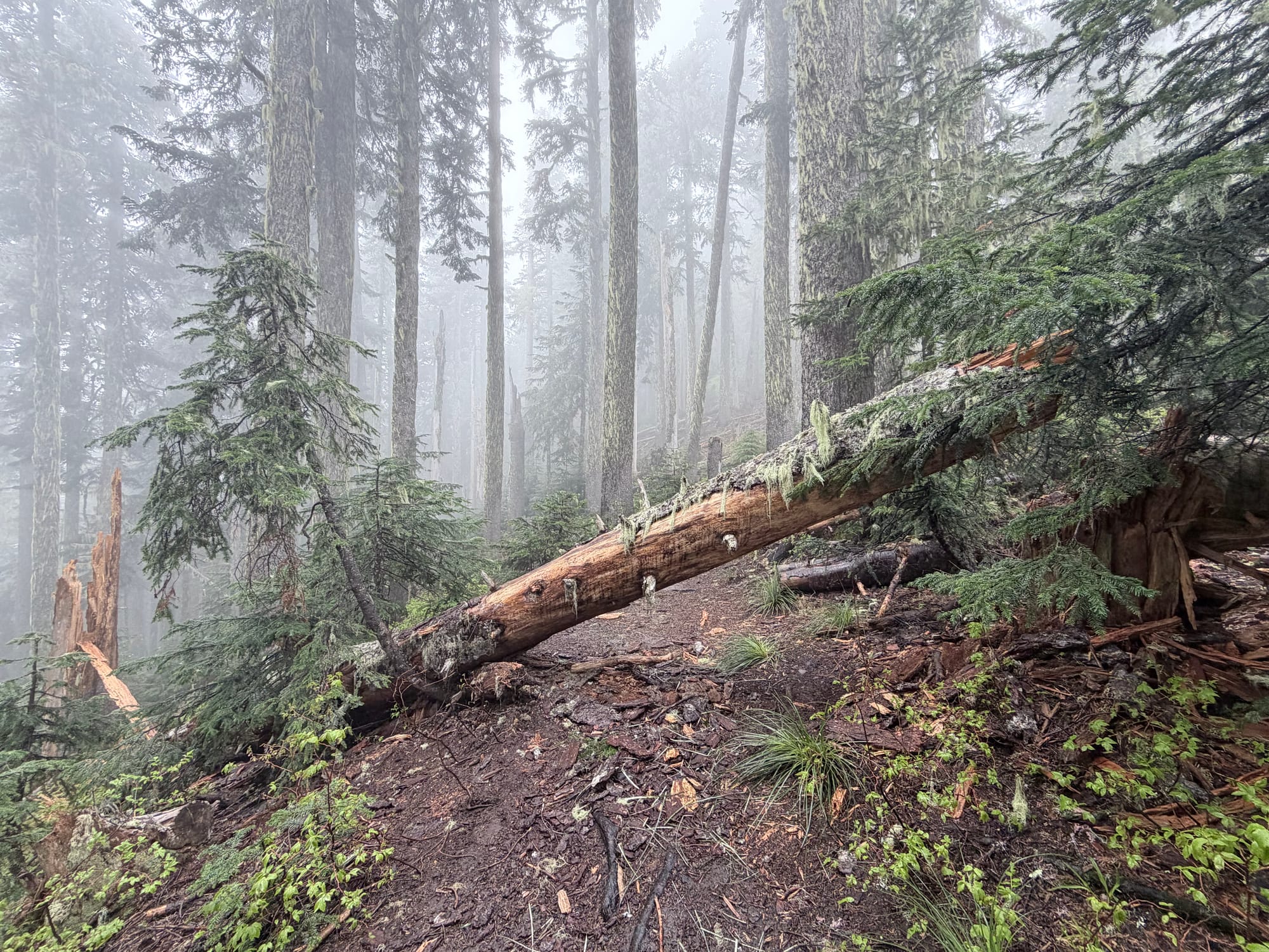
The tree fall along the trail is minimal, this being the largest one and easy to navigate around.
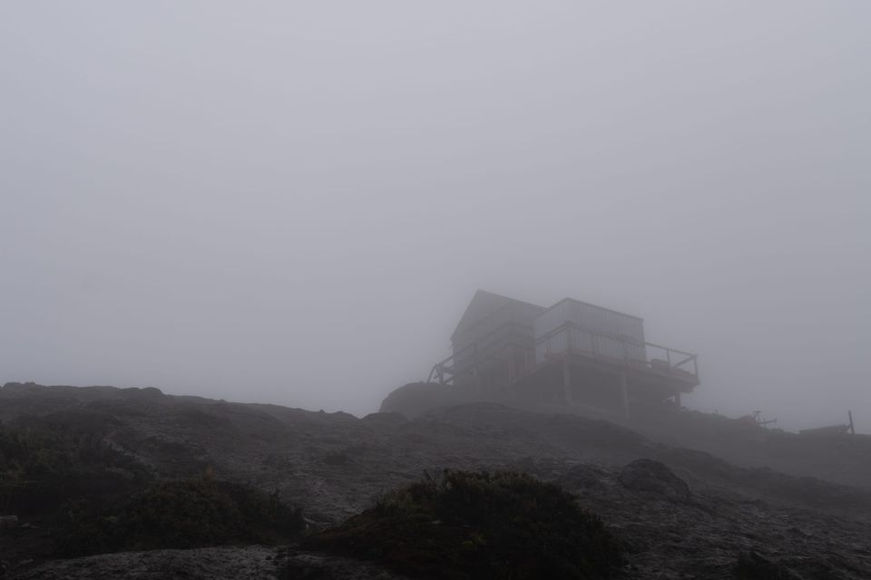
After about 50 minutes of hiking, I found the lookout perched atop High Rock against a backdrop of misty clouded sky. There was a lot of construction debris and equipment scattered about, including wood, a cement mixer and a large zippered duffel bag with something heavy inside.
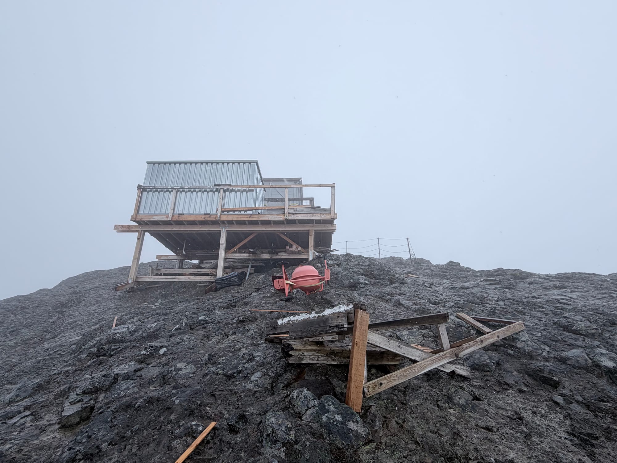
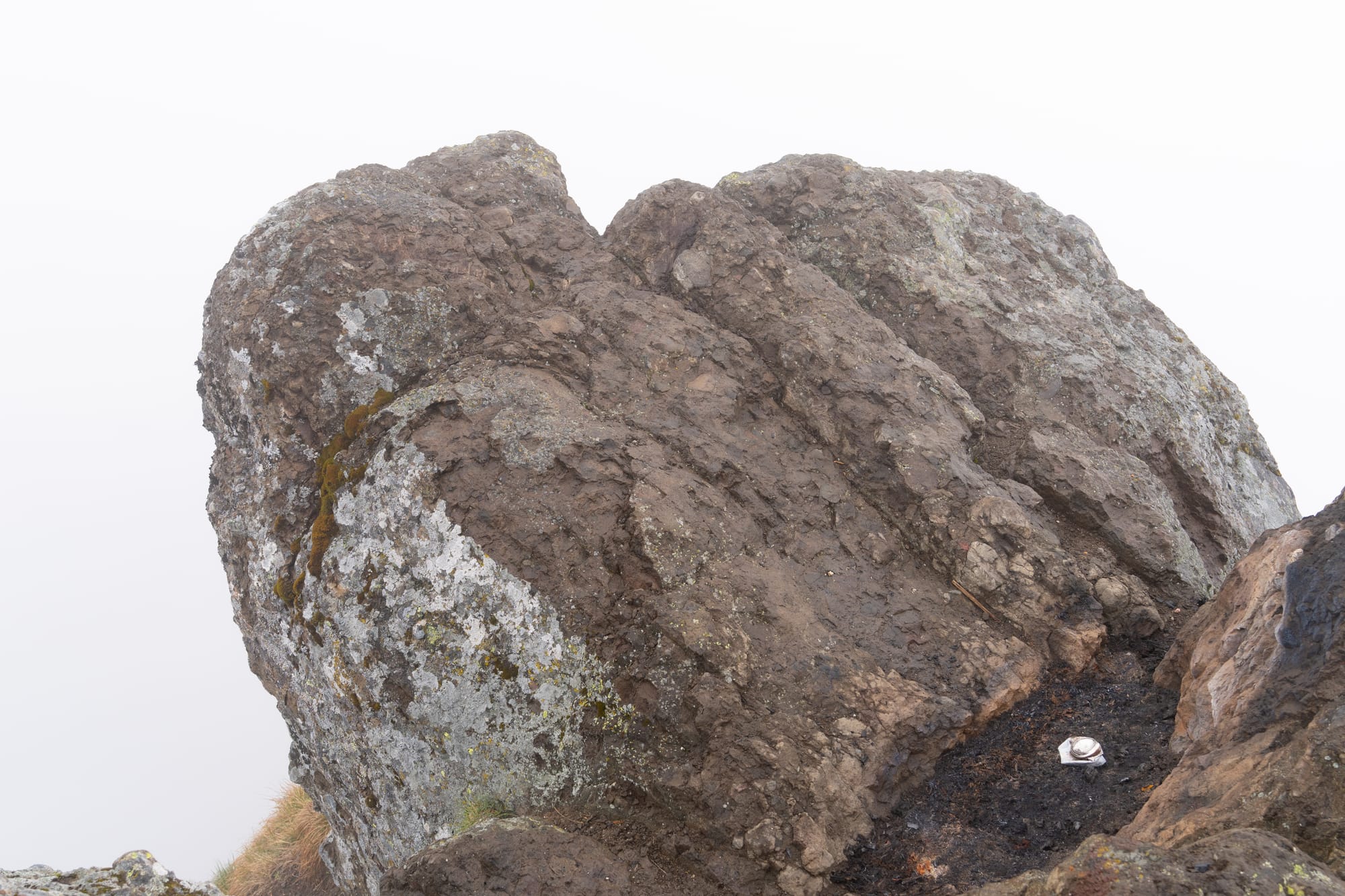
The structure itself was locked down tight, without any way to see inside. As I walked around to the back of the building, I caught the scent of smoke. Looking around, I saw a darkened patch of earth between two nearby rocks radiating heat and realized that someone must have been there recently and had built a fire. I doubt this is an area where fires are permitted and even if they are, building one within feet of a fire lookout, itself flammable, just seems like a bad idea.
With no views and some sleet and light snow now mixing in with the rain, I didn't linger very long and headed back down to the trailhead. I had another destination in mind, Allen Mountain, a rather obscure peak accessible from the opposite side of the parking area. On my way back I passed two parties heading up, also hoping to catch some lookout views today.
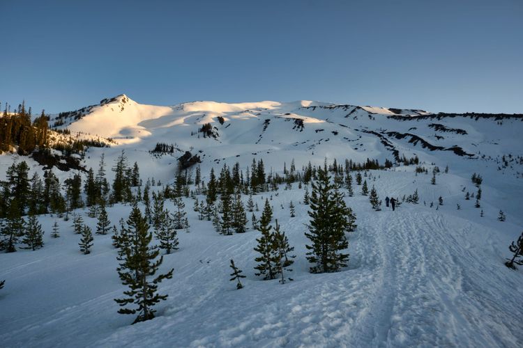
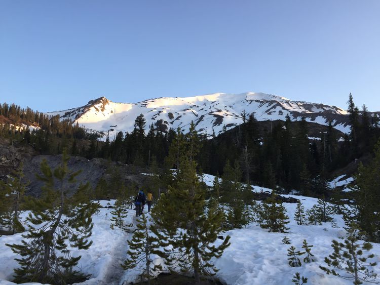
Upon reaching the parking area, I headed across to the trailhead leading to Allen Mountain (Greenwood Lake Trail #253). Initially following a two track road, it soon narrowed into a trail, then descended several hundred feet to Catt Creek, where it began to climb again. Notably, my GPS track differed significantly from where the trail was supposed to be located on my map. The rain picked up a little as I wound my way through the forest, at times brushing against the water-laden foliage bracketing the trail.
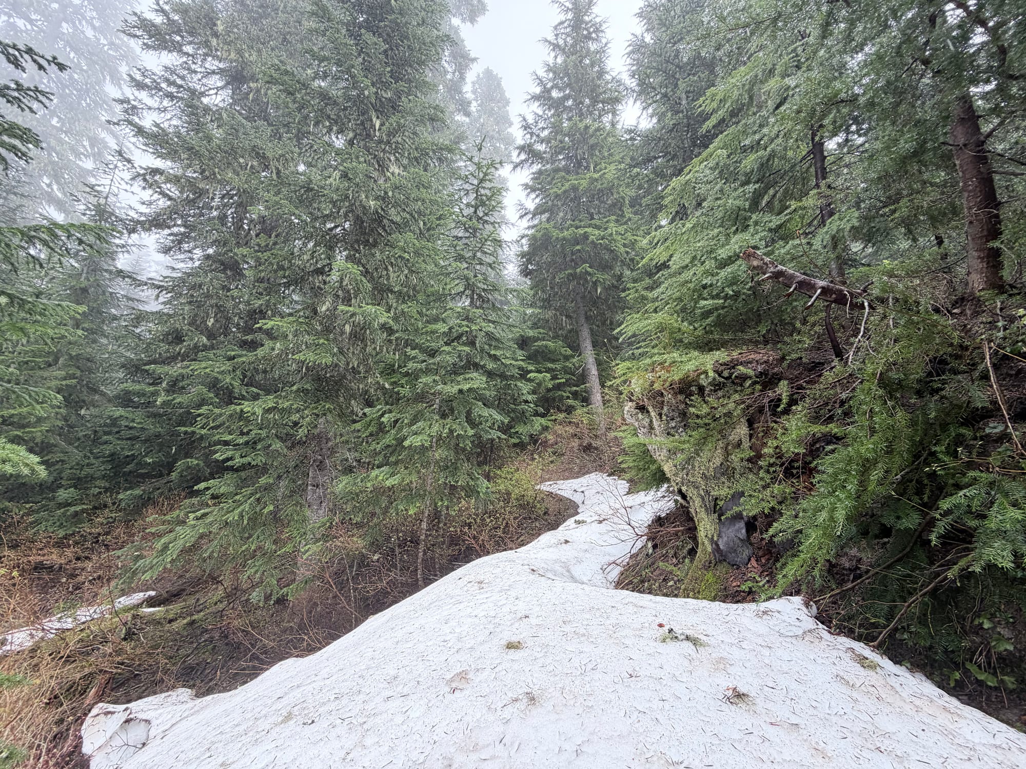
Rainy forest vibes
At about 4,200 feet, I encountered patchy snow on the north-facing side of the ridge leading up to Cougar Gap.
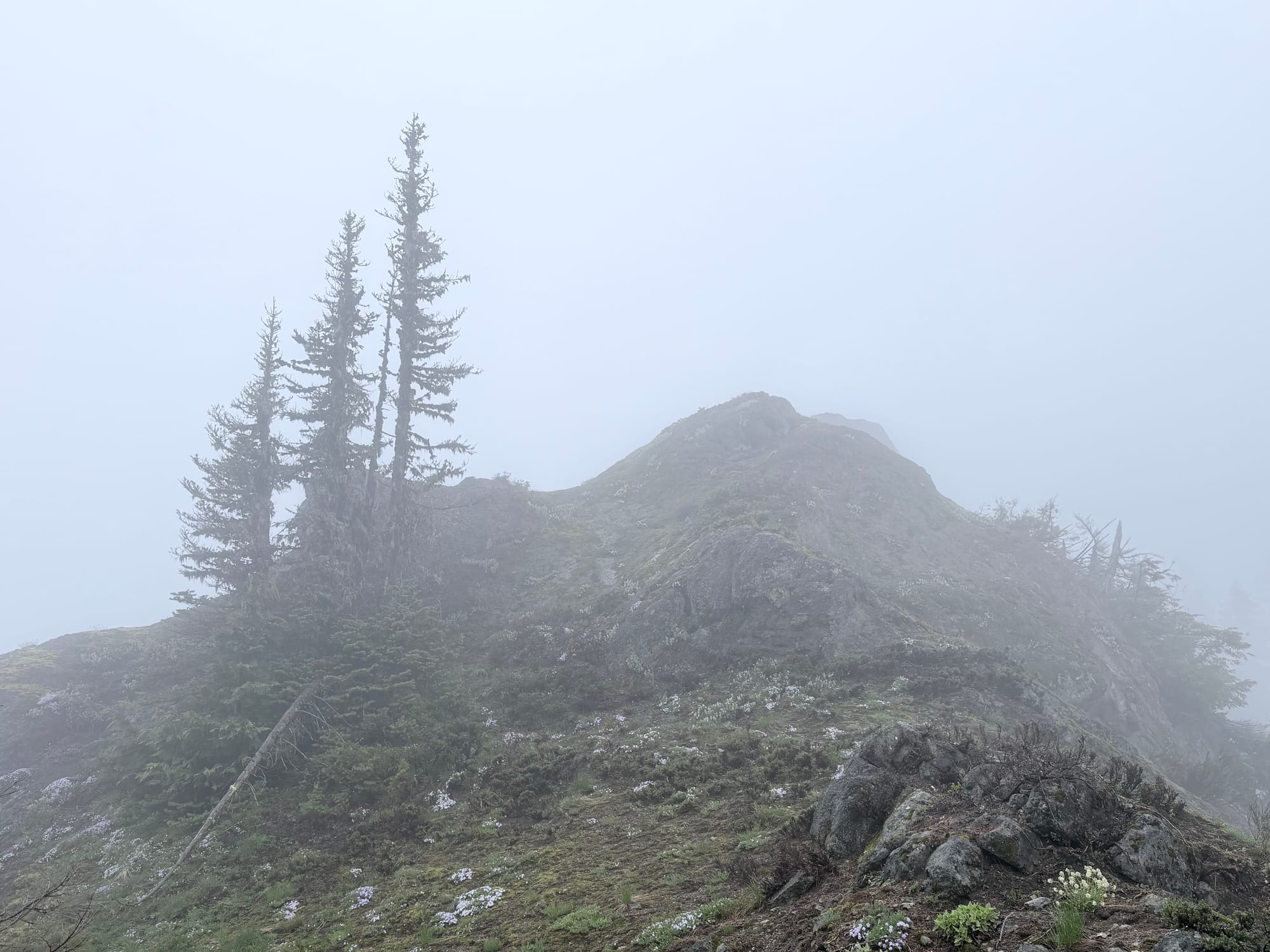
At Cougar Gap, the trail turns left and up through some switchbacks before winding around to the southwest flank of Allen Mountain, which is essentially a small ridge running roughly west to east. The highest point of the ridge is the western side, at 5,095 feet. Blocked by a significant fallen tree across the trail south of the ridge, I left the trail and headed 200 feet up to the rocky summit block. Without views, I didn't linger and returned back the way I came.
The falling water of Catt Creek
Returning to the trailhead, I was surprised to see another vehicle parked next to mine, and even more surprised by the model—a Hyundai Ioniq. Neither high clearance nor four wheel drive, I don't know how they were able to make it there. On the drive out, I marked a pullout on my map where less adventurous drivers may prefer to park (coordinates: 46.66880, -121.89900), about 1.2 miles and 460 feet of elevation below the trailhead.
Starting elevation: 2,681 ft | Elevation Gain: 4,315 ft | Distance: 7.5 mi
Equipment: poles

Comments ()