
Naches and Tahtlum Peaks
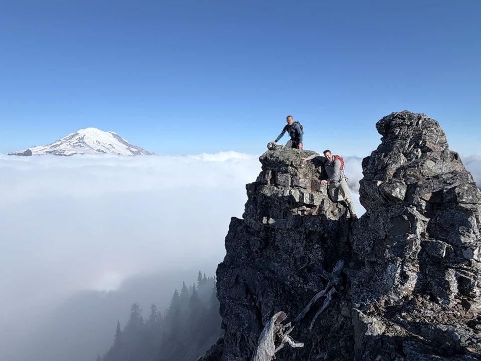
My friend Mike is working on completing climbs of 100 notable peaks in Mount Rainier National Park (the Mount Rainier 100) and invited me to join him and another friend, Gary, for two objectives in the park's northeast corner. After several recent multi-day glacier climbs, I was ready for a more relaxed day of scrambling. Situated close to State Route 410 at Chinook Pass, these mountains, along with nearby Yakima Peak, can be combined into a multi-peak climb that can be completed in one day. Since Mike had already climbed Yakima, just Naches and Tahtlum were on the menu.
We planned to start with Naches, as it is closest to the road and requires a higher level of care near the summit. After this, our plan was to work our way back to the Pacific Crest Trail where we would find a mellower second objective in Tahtlum.
This part of the park is super popular with day hikers and tourists, as it does not require paid entry, so we left Olympia at 5:15 AM to get ahead of the crowds. Our plan was validated when we found just six open parking spots upon arrival. Restrooms are available on the western side of SR 410 at the Chinook Pass Overlook Trailhead (46.87540, -121.51795). We parked on the eastern side, leaving the parking lot at 7:15 AM headed east along the PCT. Within the first 100 yards, we took a fainter trail to climber's right, traveling southeast towards Naches.
The climber's trail was not too overgrown and easy to follow. There were a few steep sections, but overall, it wasn't too bad, gaining about 1,000 in just under a mile. There were a couple of forks in the trail and we took the left option both times, which eventually deposited us at the base of a rocky ridge. Climbing up to the ridge with a few easy moves, we were soon traversing the exposed ridge toward the crux—an 8 foot down climb with significant exposure on both sides and limited options for protection.
I was first to the crux and was surprised to see accessory cord loop draped over a 3-inch bump on the rock. This was by no means a secure anchor and I did not want to rely on it for the down climb, but I did hold it in my hand while Mike kept the anchor from sliding over the bump it was wrapped around. With feet dangling over the edge of the rock, I was able to see a couple of footholds. I edged my way toward the nearest hold, still facing outward, then turned to face inward once my footing was secure. After that, it was a fairly simple few steps down to a small platform with room for 1-2 climbers. From there, I moved forward along an exposed section requiring a bear hug move with relatively poor handholds. Mike and Gary followed after me and had no trouble with the down climb or traverse. After clearing this section and crossing back over the ridge to our left, it was a short and easy scramble to the summit.
Standing on the summit, the early morning clouds started to clear but were still blanketing the lower elevation terrain stretching out to the horizon. We had intermittent views of Mount Rainier to the west, appearing to float above the cloud inversion, and Mount Adams to the south. Far below, we could hear the voices of hikers in the lake-filled basin.
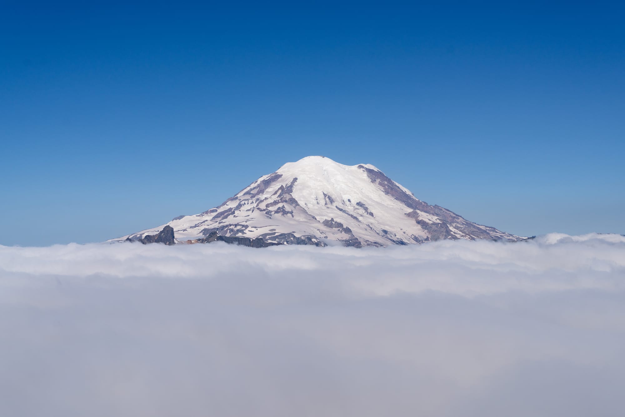
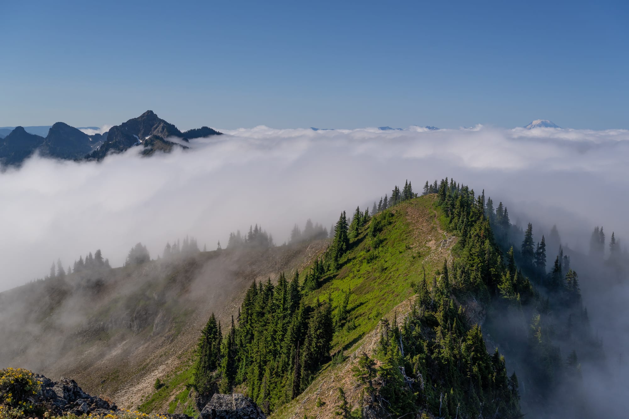
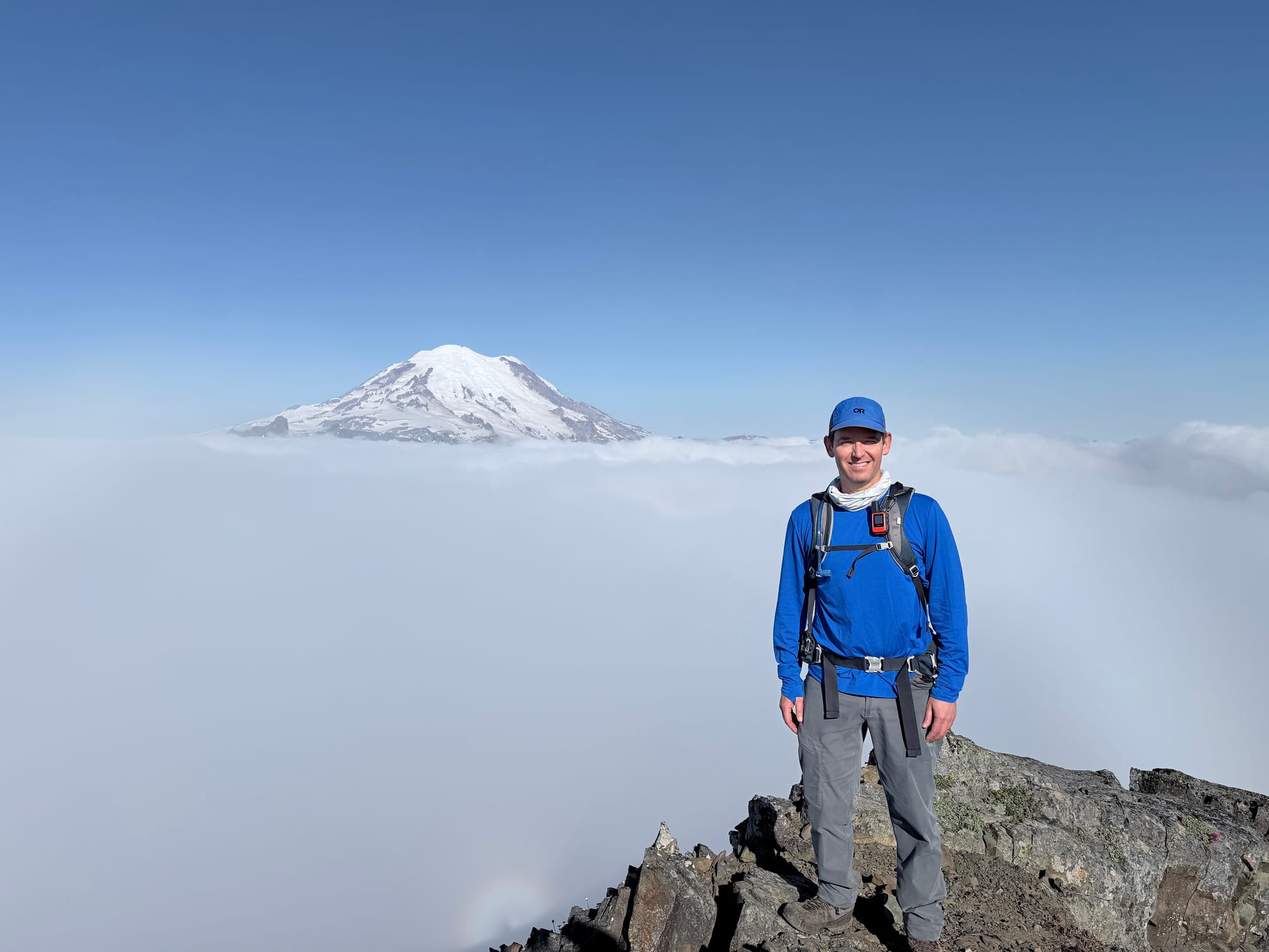
Naches Peak pano
After a few minutes on the summit of Naches and enjoying some delicious apple slices provided by Gary, we retraced our steps. The crux was significantly easier on the return, now an inward-facing climb with good hand and foot holds. Back on the ridge, we met a climber who was planning to tag the summit while his two friends waited for him to return. Further down the mountain, we met a woman sitting in some shade next to the trail with her sleeping infant bundled up in her arms.
At the PCT junction, we turned right and walked past a small unnamed lake, continuing for 1.5 miles until we turned left, heading east toward Tahtlum on a climber's trail (46.86269, -121.49511). We lost about 100 feet of elevation almost immediately, then contoured over to a saddle. Along the way, we stopped for a quick break and had a nice view of Dewey Peak and Lakes to the south. We were visited by a Gray Jay (Perisoreus canadensis) that eyed our food suspiciously.
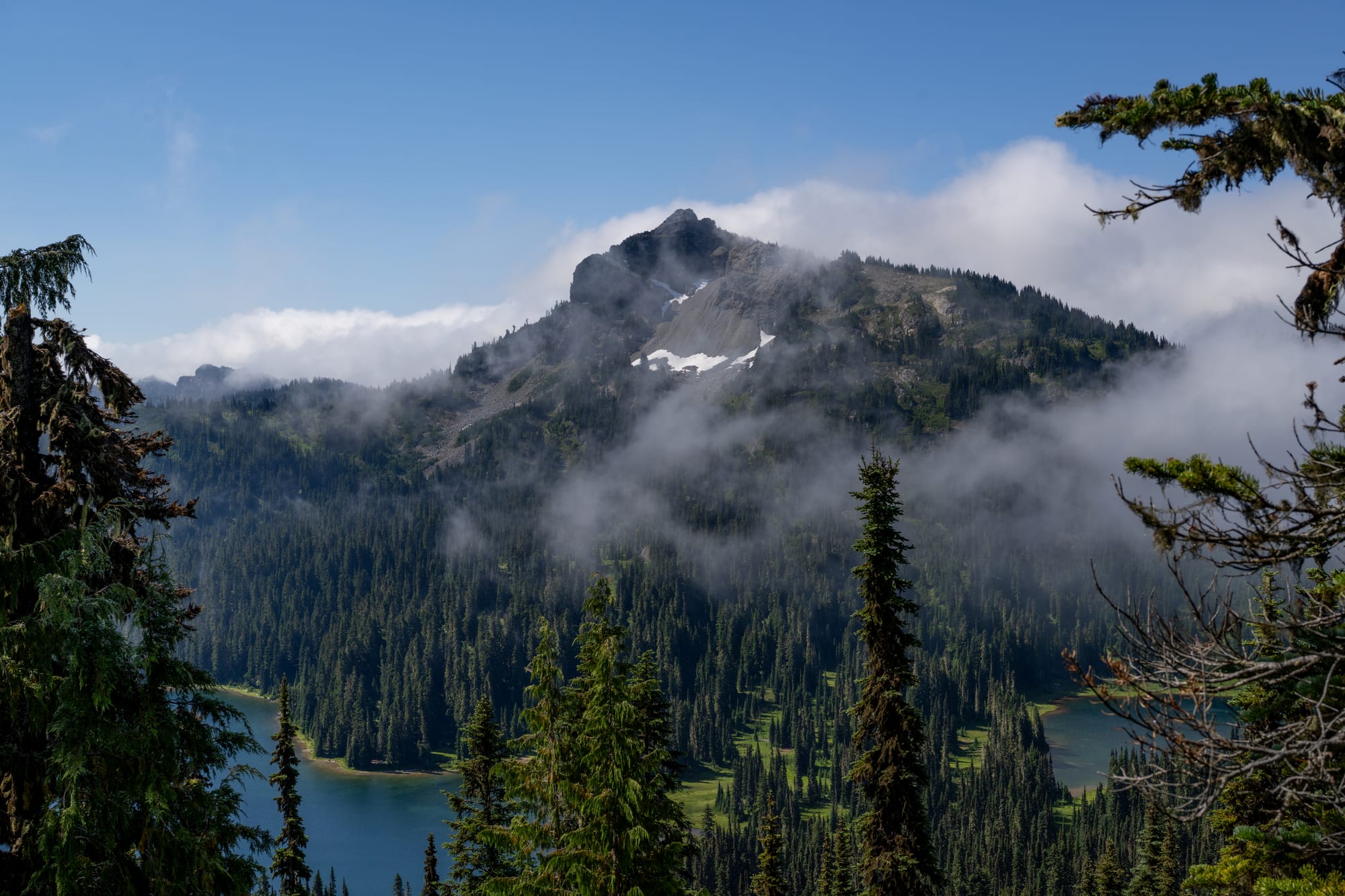
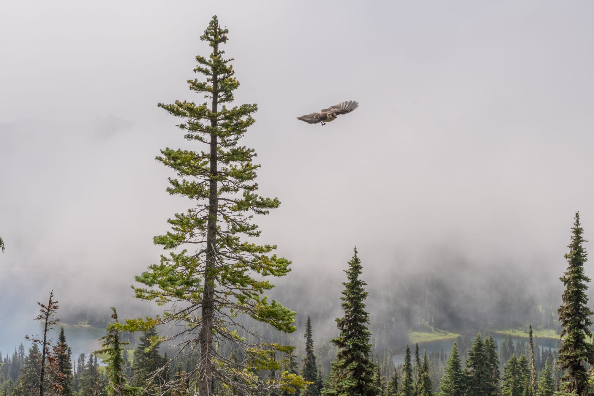
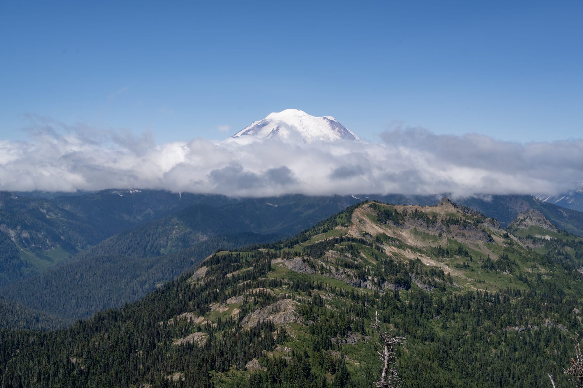
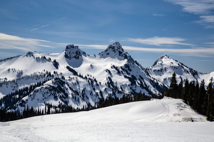
After a leisurely stroll across the saddle, we began a gentle climb to the top of Tahtlum. There were a few steep sections but nothing as significant as what we had experienced on Naches and overall, it felt quite civilized. We reached the top at 11:30 AM, about 4 hours and 15 minutes after leaving the trailhead. Standing on the summit, there were great views in every direction and we could see Naches across the valley to the west, now looking like a tiny bump on a ridge in front of Rainier.
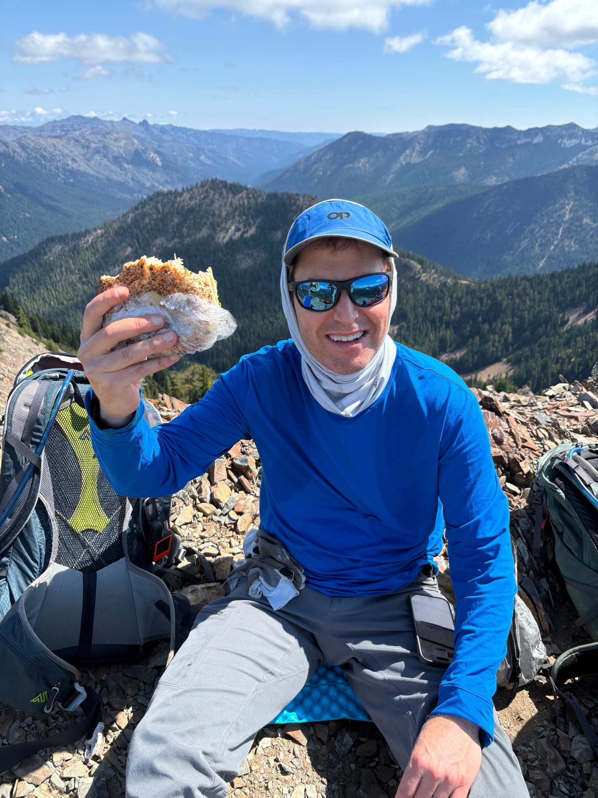
We ate lunch, or at least two of us did. Mike didn't pack a lunch, but Gary and I had bagels. For some reason, Mike found my bagel to be comically large and snapped a photo of me holding it next to my head for scale.
Not long after arriving on the summit, a solo hiker appeared and started unpacking an antenna. We learned that he was playing a game where he would climb a mountain and attempt to contact at least four other ham radio operators to score points. They keep track of everyone's score at the Summits on the Air website. It turns out our new climber friend had over 5,000 points and the goal for most people is to get to 1,000 points in their lifetime. Summiting Tahtlum would give him 8 more points if he could contact to at least four other people while there. He used his hiking pole anchored to a tripod with an antenna mounted on top to extend his reach and was immediately able to connect with two other operators on nearby Chinook Peak. One of them was having trouble remembering his callsign and we joked that this was like forgetting your name.
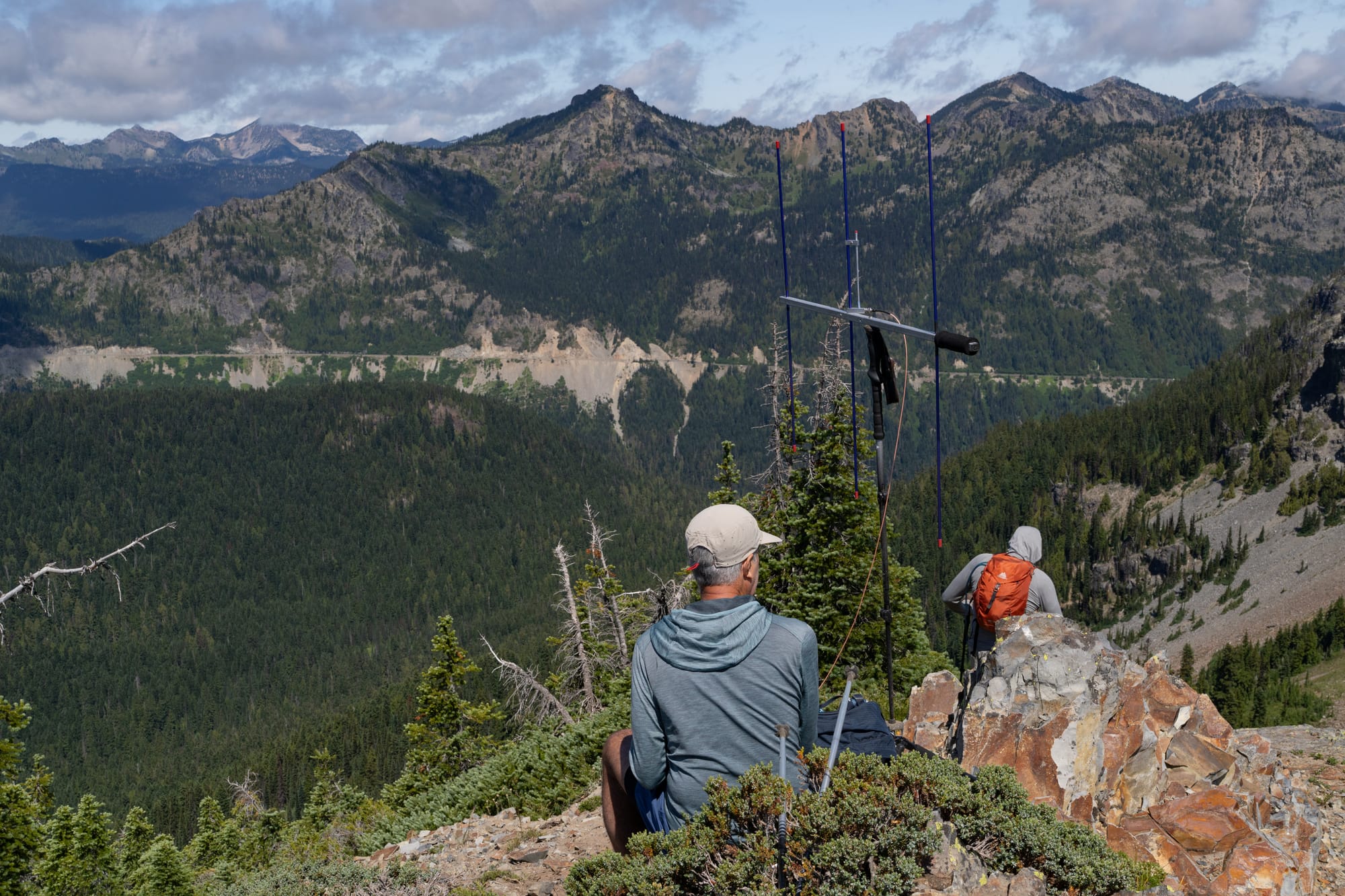
Tahtlum Peak pano
We retraced our steps down to the saddle, where we paused for another break and a look back to Tahtlum.
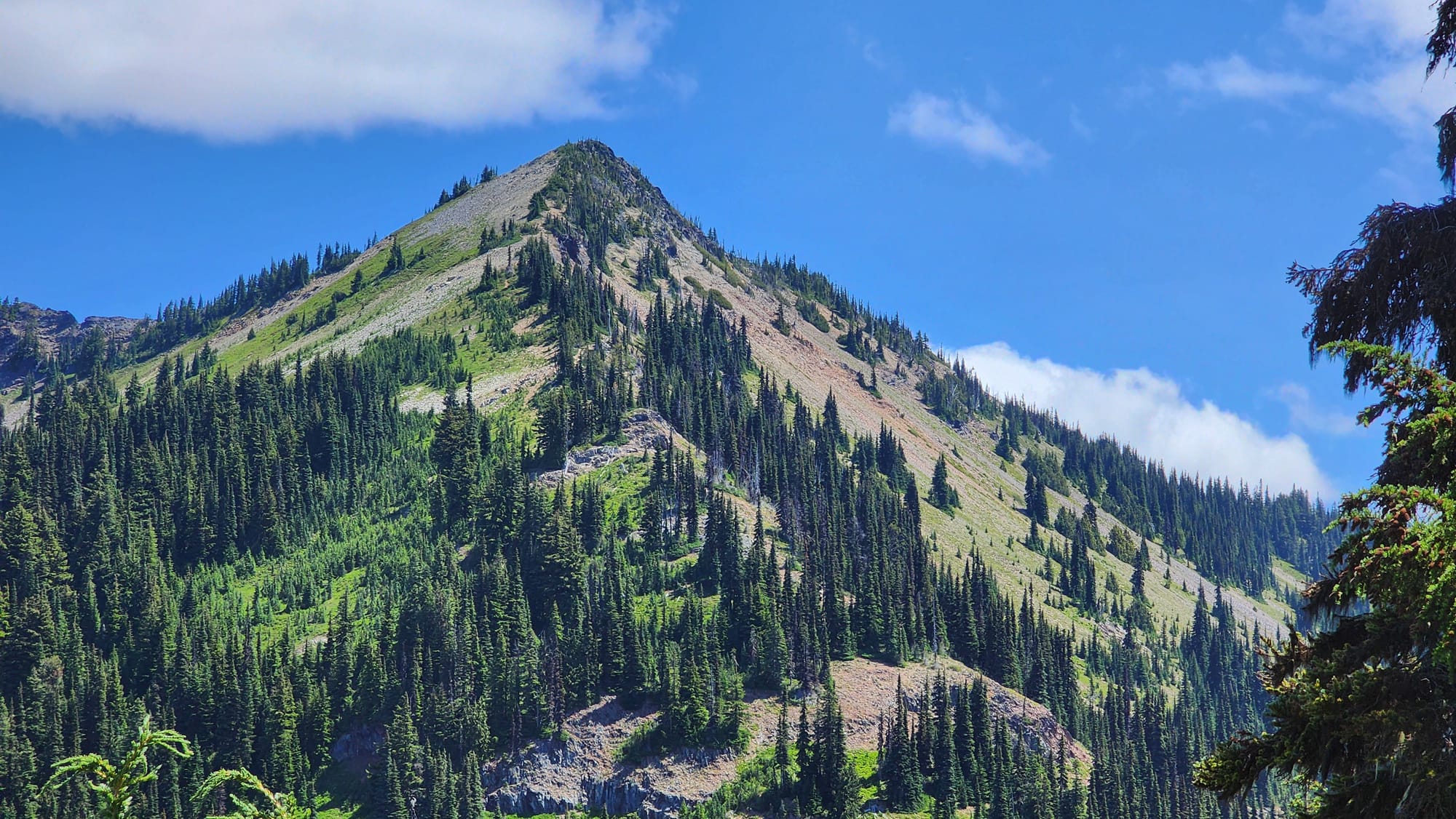
We debated our next move, whether to return via the route we took on the way in, or a more direct approach back to the PCT. I had a GPS track that showed both routes, forming a loop. We decided to return via the direct route, but didn't know if it would skirt around or travel over a high point in front of us. I thought it might skirt, which kept Gary from staging a mutiny, but ultimately we found a climber's trail that went right over it. As we climbed higher, I could hear Gary's grumbling building. It wasn't long before we were standing in front of a cairn with a makeshift fire pit (46.86369, -121.49116), having conquered this unnamed bump on the map (elev. 5,969 ft). We thought it fitting to name it "Grumpy Gary's Peak" in memory of the occasion.
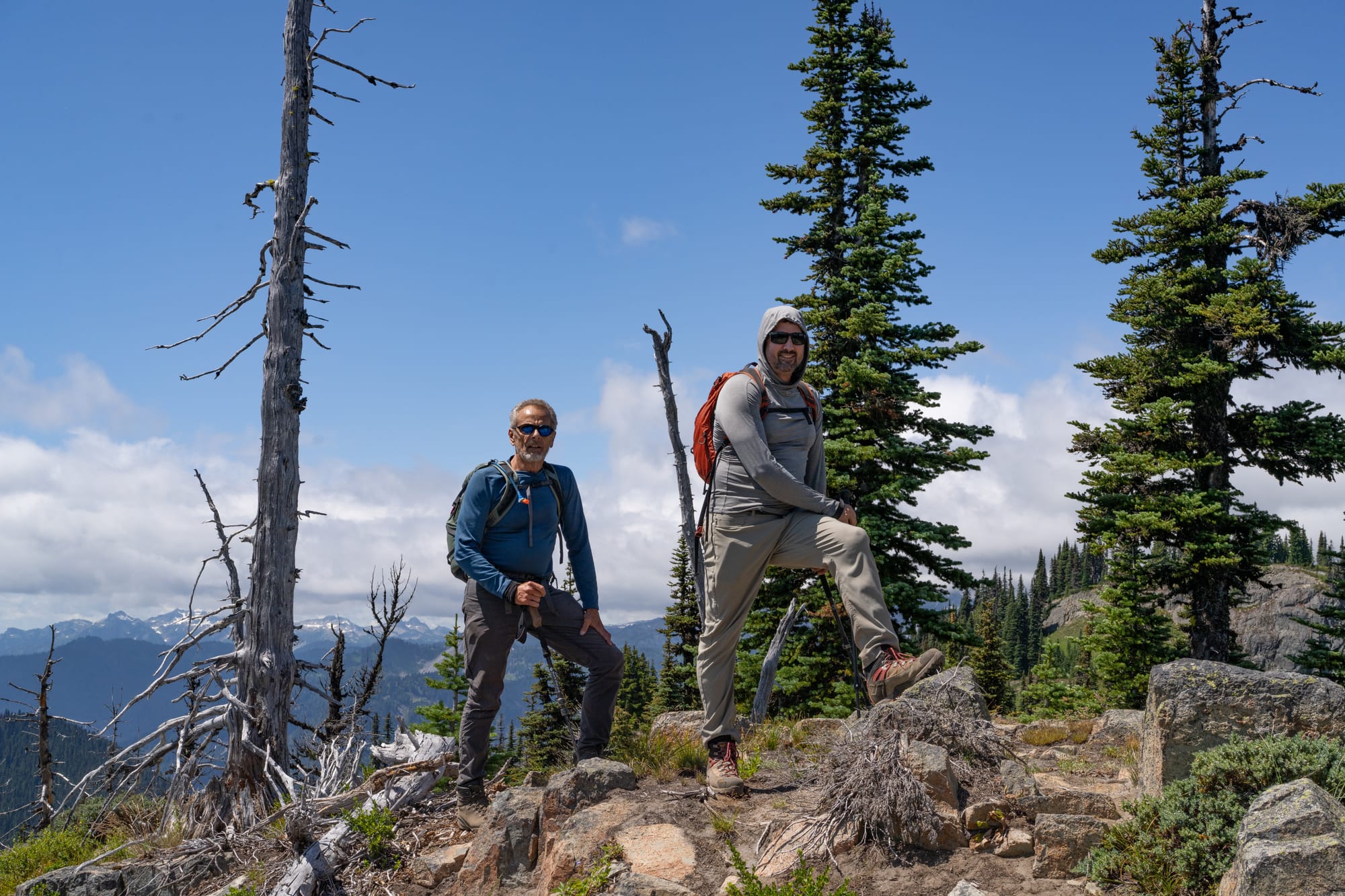
After this, it wasn't long before we were back on the PCT with the throngs of day hikers. We cruised down to the trailhead, where I had a celebratory Gatorade and granola bar. The real celebration came later at Dairy Queen, where we consumed two Blizzards and a Peanut Buster Parfait, feeling good about another two percent of the MRNP 100 being in the bag.
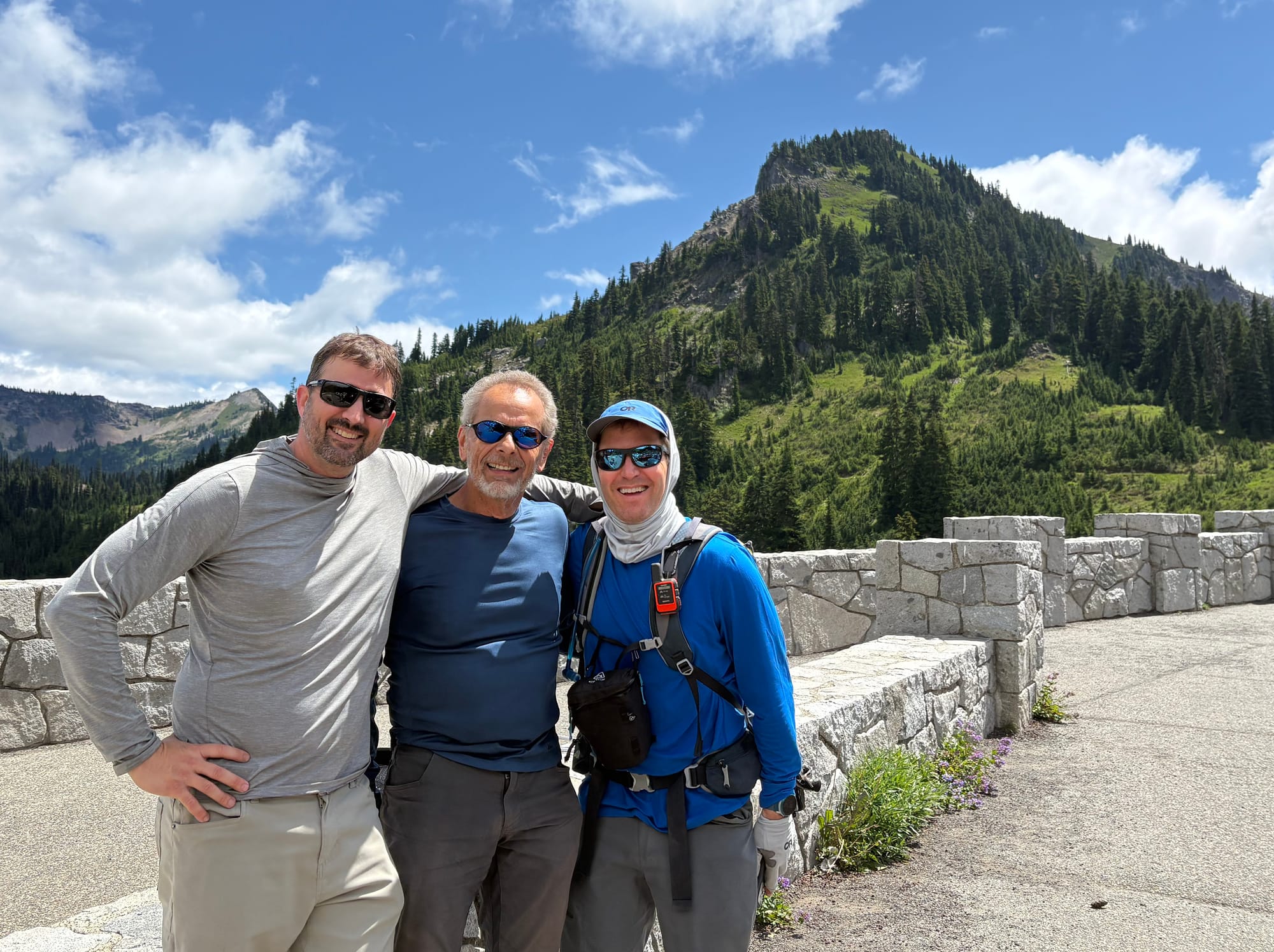
Starting elevation: 5,395 ft | Elevation Gain: 2,221 ft
Max elevation: 6,559 ft |Distance: 6.4 mi (round-trip)
Equipment: poles, helmet
Comments ()