
Sloan Peak
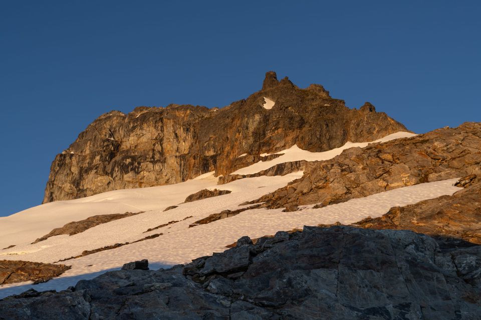
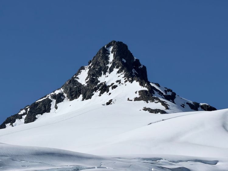
Known as the "Matterhorn of the Cascades" and rising prominently to 7,385 feet, I first encountered Sloan Peak while climbing Glacier Peak in 2024. Sloan's angular form somewhat resembles the actual Matterhorn and its mix of glacier, rock and corkscrewing summit approach make it an interesting climbing objective. The standard approach requires glacier travel on the eastern side of the mountain and can be accessed from either the Bedal Creek or Cougar Creek basins to the north. As I don't travel solo on glacier routes, I was fortunate when the opportunity to join an Olympia Mountaineers group for a two-day summit attempt presented itself.
We were a party of 9 and planned to meet at the Bedal Creek trailhead at 9 AM. Most of us met in Olympia at 6 AM and consolidated into two vehicles. We made the long trip to the Mountain Loop Highway where pavement turns to gravel beyond Barlow Pass and wound our way past numerous roadside campsites occupied with vehicles and tents. Being Fourth of July weekend, many people were out enjoying the weekend like us, but our plan was to find some solitude in Sloan's alpine terrain.
The turnoff to the Bedal Creek Trailhead can be easy to miss if you aren't looking for it (48.08566, -121.38863). We ascended the rutted, steep and switchbacking road to and were glad to see that the usually overgrown brush bordering the road had been recently trimmed. A high clearance 4-wheel drive vehicle is very helpful on this section of road, as it is steep and deeply rutted. Where the road ends at the trailhead, there is very little space to turn around and it gets crowded quickly when multiple cars are present.
Two students in our group had planned to drive separately and meet us at the trailhead, but when we arrived, only one was there. He vaguely remembered what he thought was the other student waiting on the road before the trailhead turnoff, so I volunteered to drive back down to look for him. Finding no sign of him and not being able to call due to lack of cell service, we finally left the trailhead without him as a party of 8. The skies were overcast, causing some concern that we wouldn't have any summit views, but we had hopes for the forecasted sun on summit day.
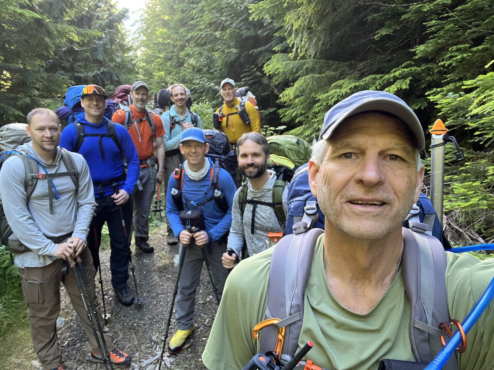
Our plan for the first day was to leisurely hike up to a site where we would pitch our tents for the night and be in good position for summit day. With 2,500 feet of elevation gain over 3.25 miles for day one, we left the trailhead feeling confident, but soon found ourselves in the middle of a maze of downed trees and brush. Unlike the road, the trail has not seen much recent maintenance. We fought our way over, under, and around a multitude of wooden obstacles with some difficulty for the first mile and a half.
We turned left to head off-trail and up the mountain at 48.05589, -121.36302. With heavy packs, this was probably the most difficult part of the approach, gaining about 1,500 feet in under a mile. As we exited the forest, there was a small rocky scramble reminiscent of the approach to El Dorado, but thankfully it didn't last very long and we were soon traversing across open terrain at about 5,000 feet of elevation, the clouds now giving way to sun.
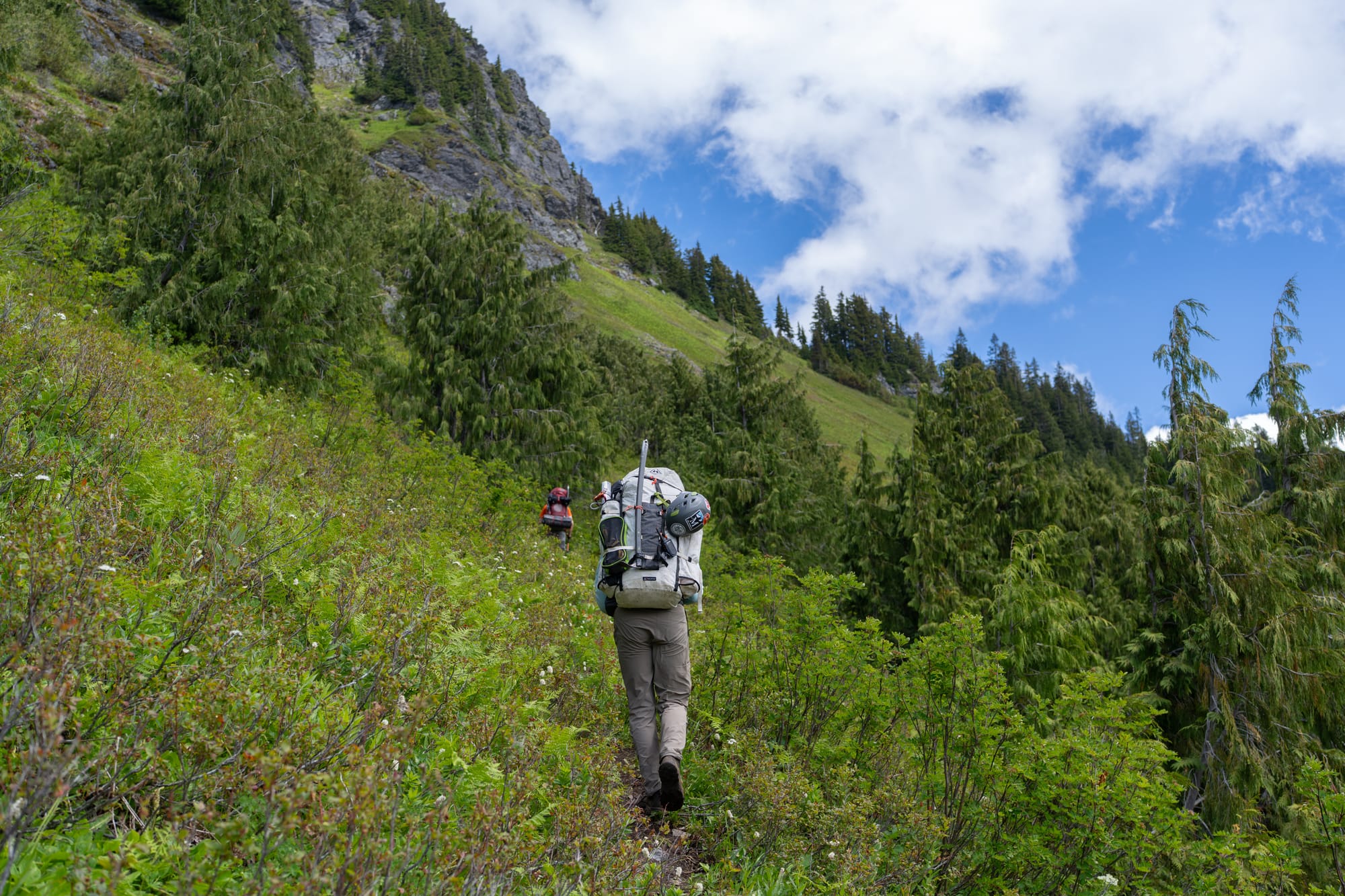
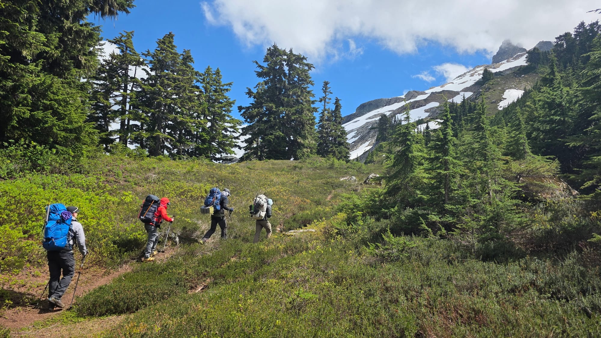
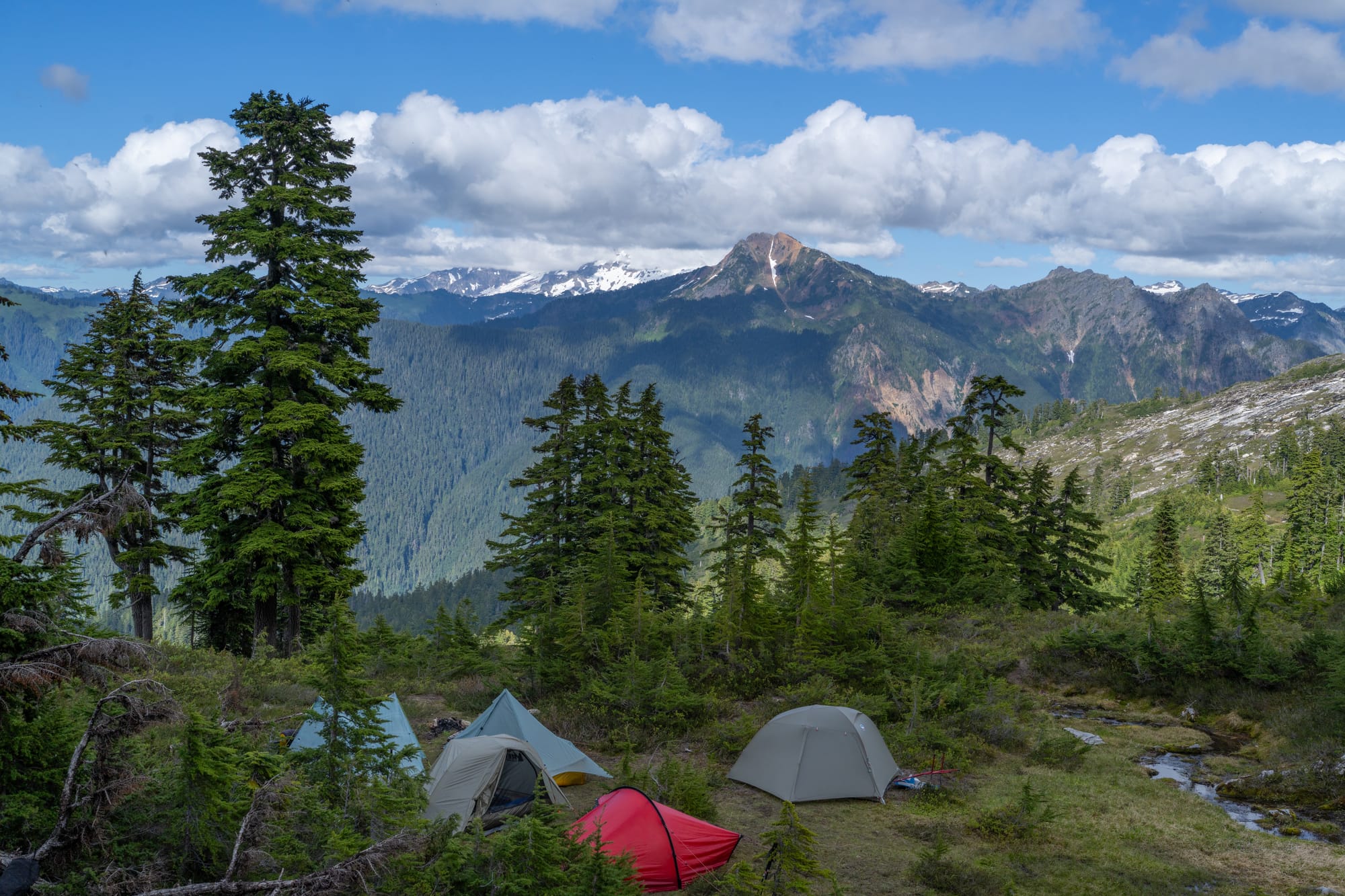
During the scramble section, we talked with some climbers who were returning from summiting that day. We were considering setting up camp on the ridge at 5,800 feet (48.05111, -121.33564), but they confirmed that it was still snow-covered, so we opted to make it easier on ourselves and camp on the saddle at 5,300 feet (48.05666, -121.34233). There were a few places to pitch tents here and water was plentiful. We had seven tents and there were already two others when we arrived. I opted to bivy and found an out of the way spot near a stream to call home for the night. Normally I like to camp on an established site, but since these were filled, I chose to make camp in a place that doesn't see much foot traffic, trying to preserve the heather underneath.
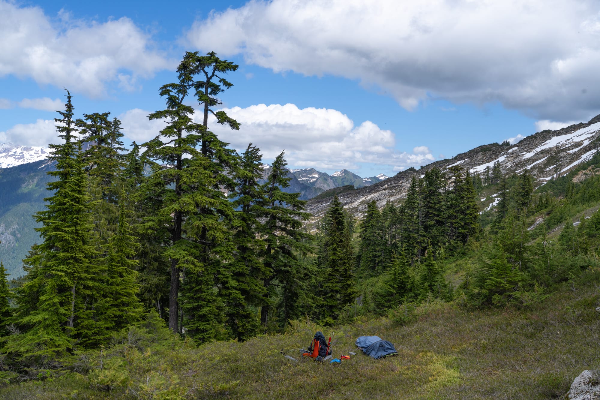
The camp unfortunately was also home to many mosquitos and flies, but thankfully they disappeared with the setting sun. While setting up camp, I was able to send a text via satellite to our missing climber and learned that he had gone to the other trailhead and not finding us, headed back home.
After a meal of Mac and Cheese, I burrowed deep into my sleeping bag at 8 PM, planning to get up early for a 4:30 AM start. I brought my lightweight 20 degree sleeping bag and my down pants/booties, but it was so warm in the bag/bivy combo that I didn't need anything more. Thankfully, I was able to get some good sleep in my confined sleeping quarters. This setup is not for everyone and it helps to not be claustrophobic.
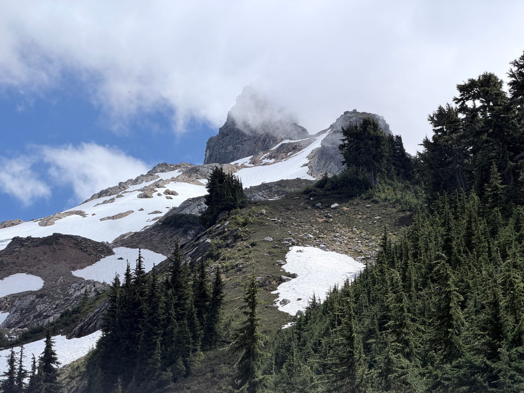
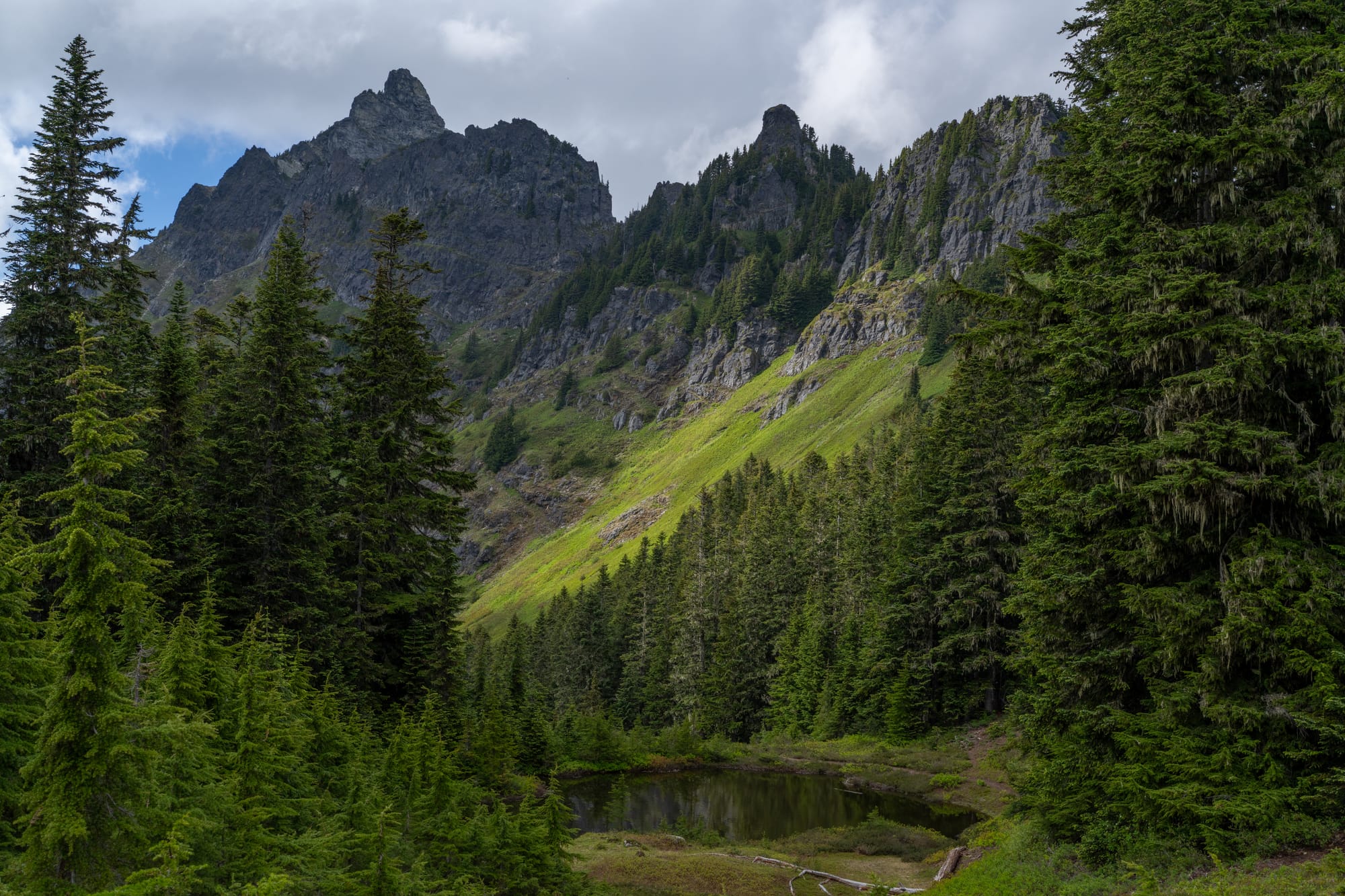
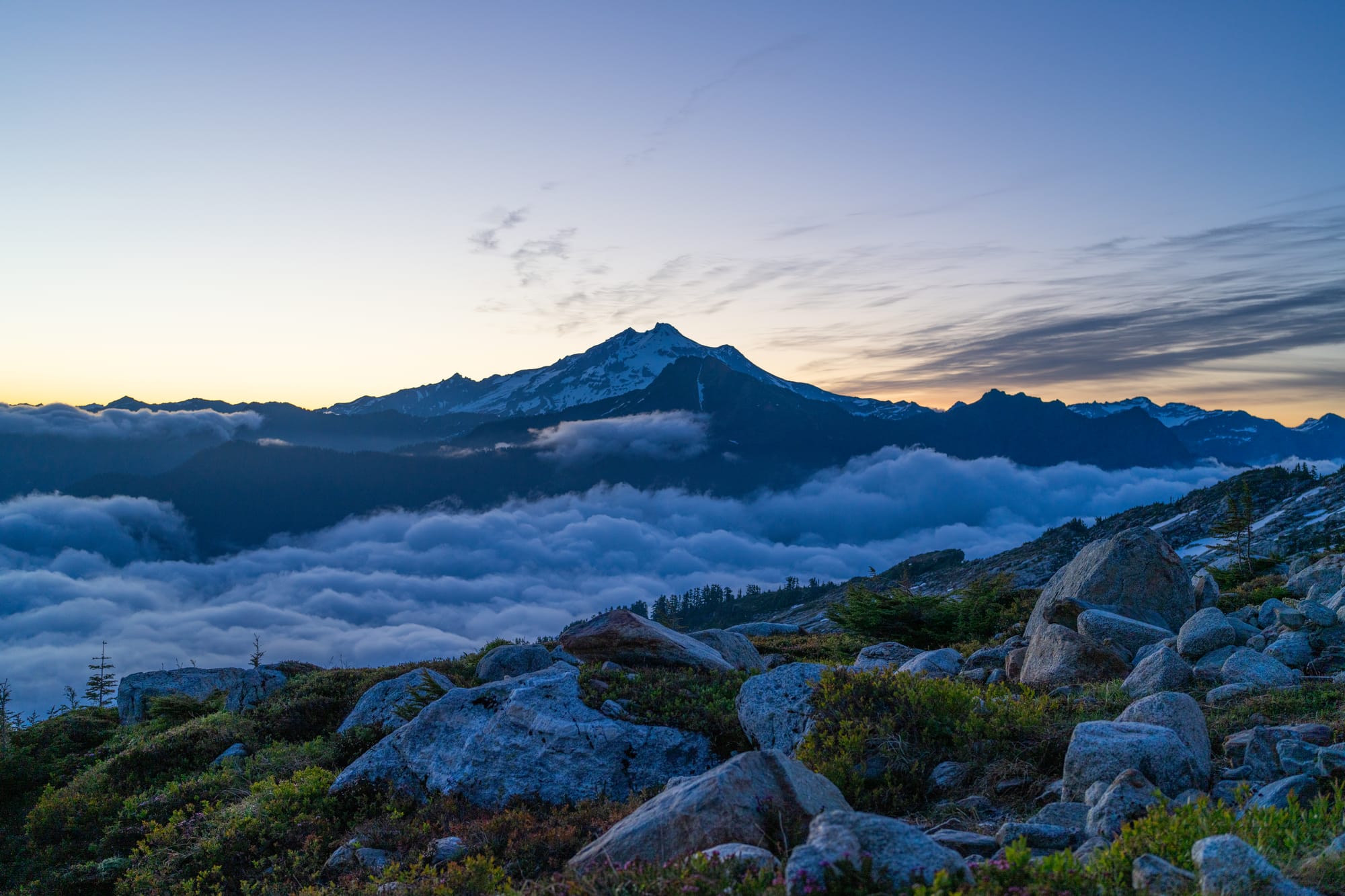
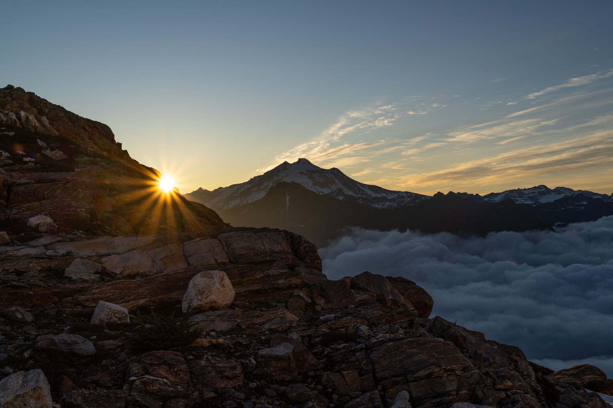
Fortunately, the weather report for summit day was accurate and we woke up to clear skies. We were walking just after 4:30 AM and soon found a solid bootpack on firm, supportable snow. With the sun rising over Glacier Peak to the east, we climbed the ridge at 5,800 feet where we were originally thinking about making camp. The ridge was fully covered in snow and there were no obvious sources of water, validating our decision to stay in the lower camp.
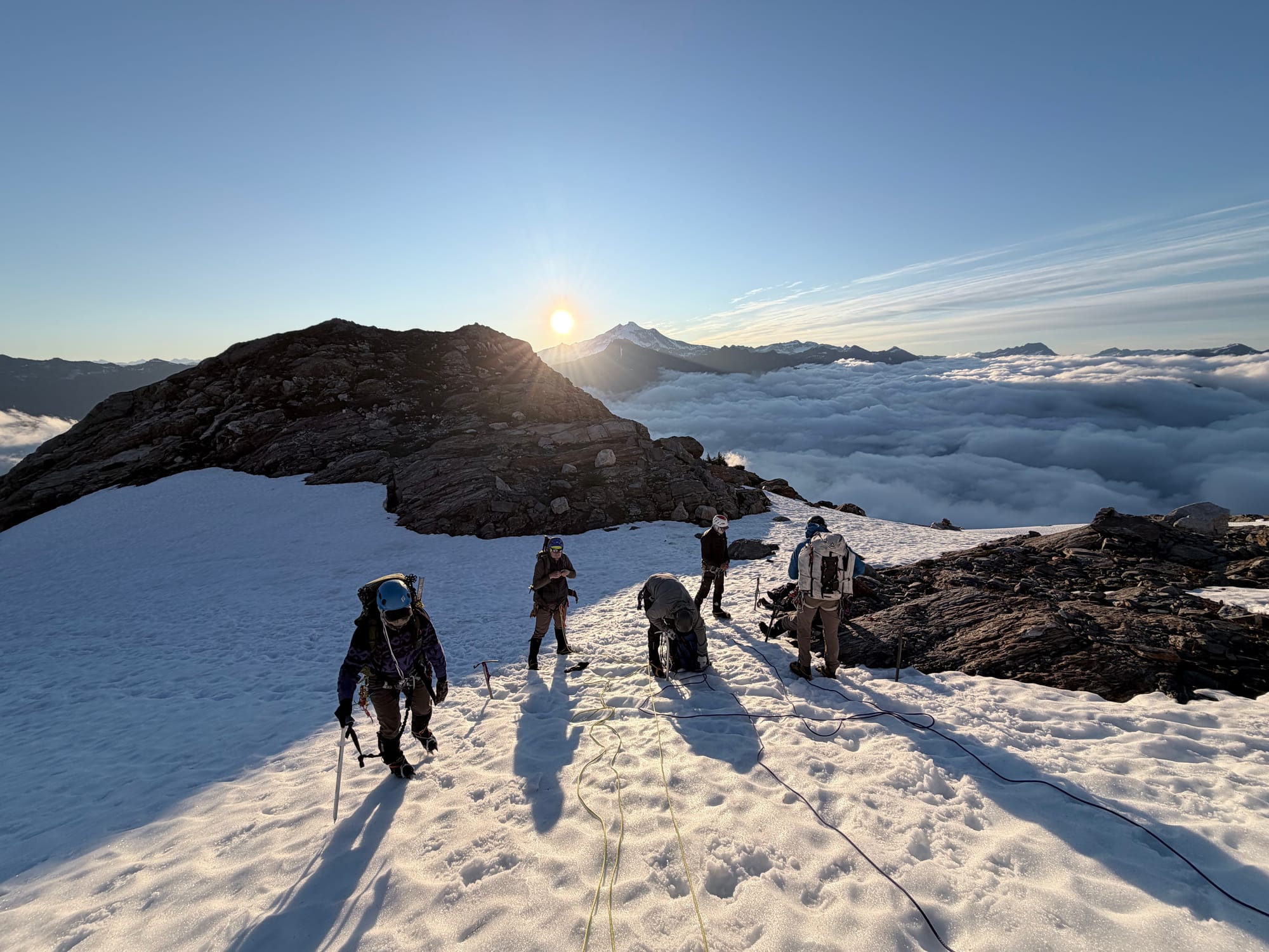
At this point, we roped up and began ascending the glacier on Sloan's eastern flank. With eight climbers, we split into two teams of four, winding our way up the established bootpack. The snow began to soften in the morning sun but remained firm enough for good steps. We saw a few open crevasses, none posing any route-finding issues.
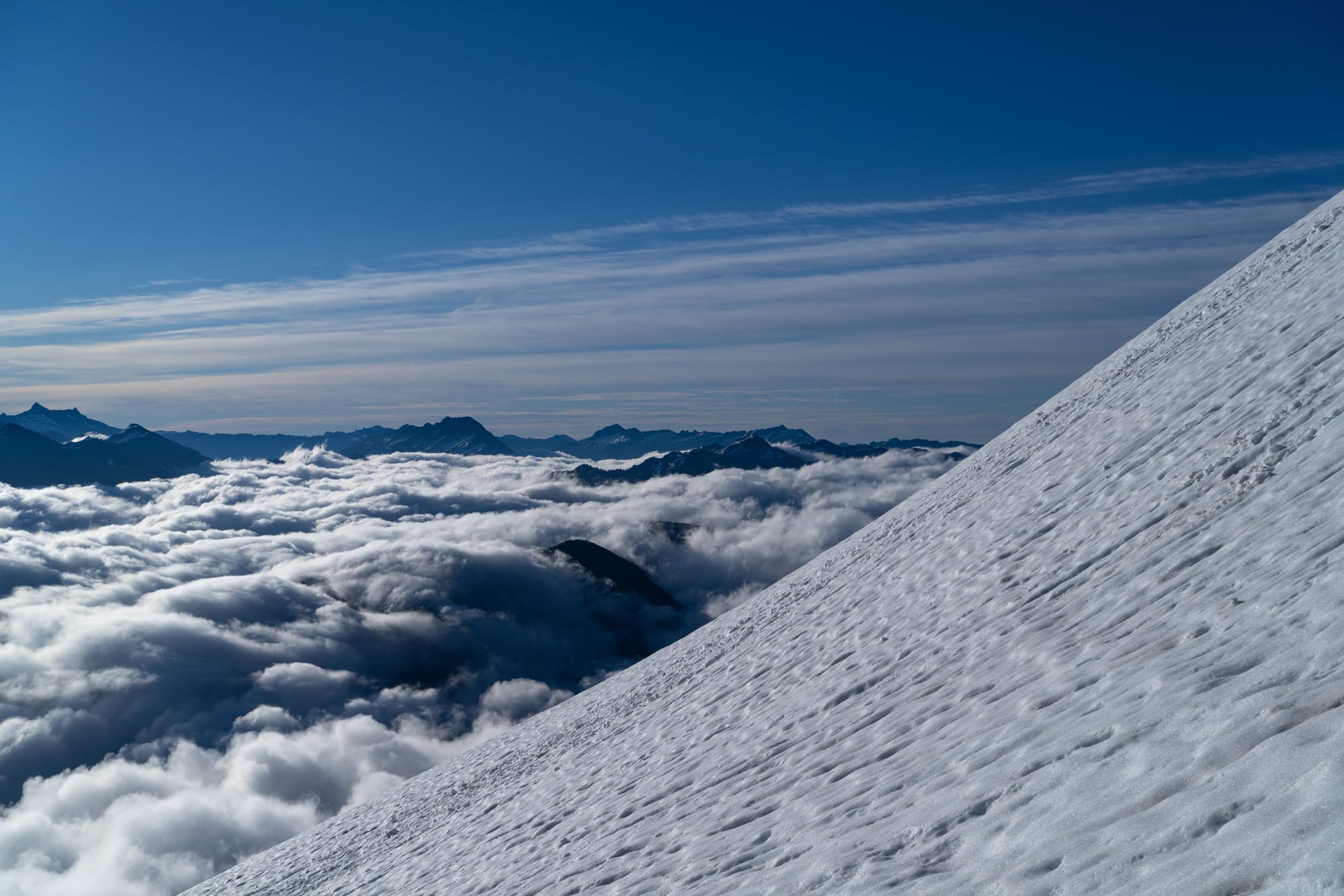
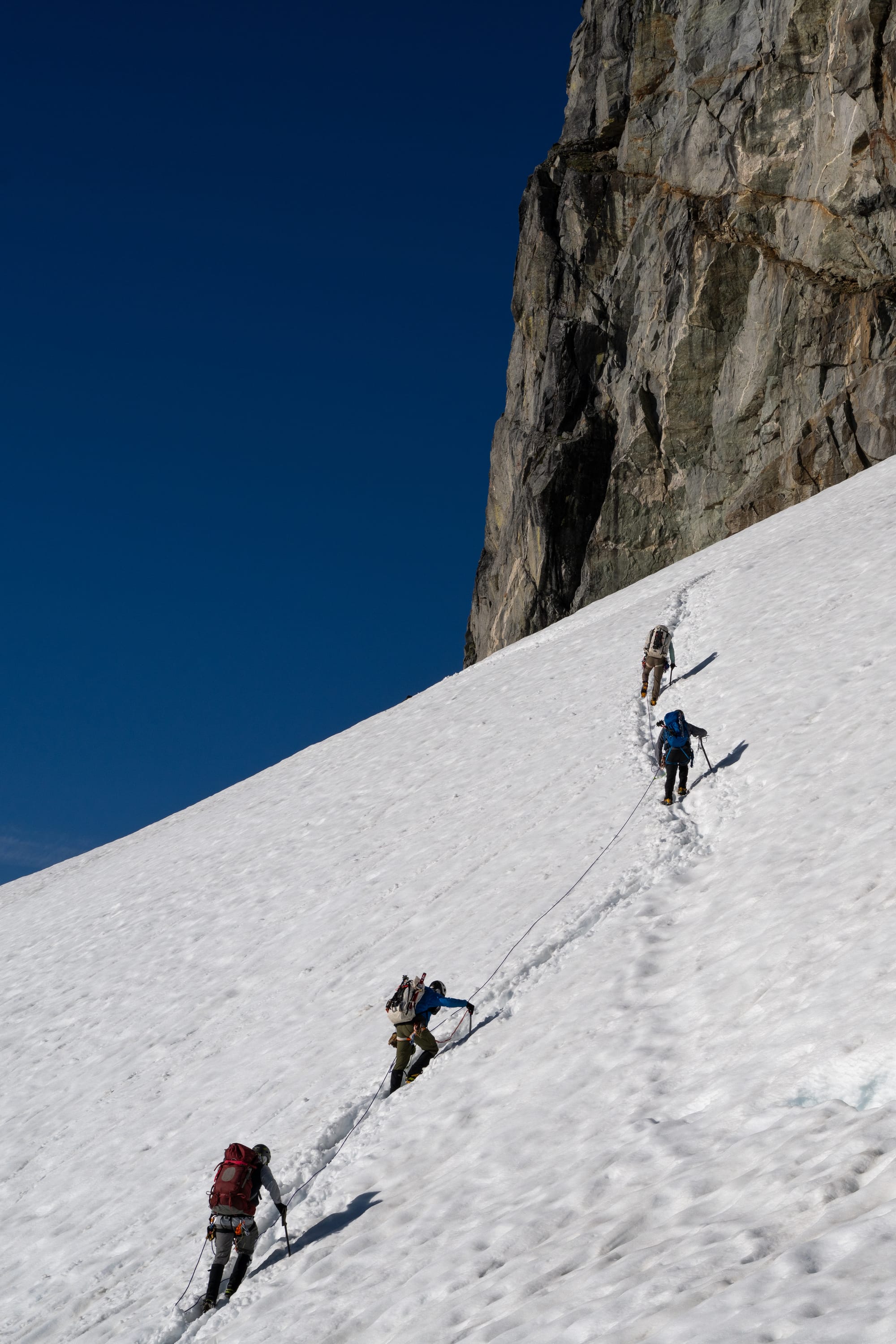
We transitioned to rock at 7:45 AM, a little over three hours after leaving camp. The snow ramp carried us right up to a moat large enough for several people to stand before moving on to the rock. After removing our crampons and stowing the ropes, we edged our way up and around the south side of the summit, beginning the so-called "corkscrew" route (see Rob Busack's blog for an excellent route description).
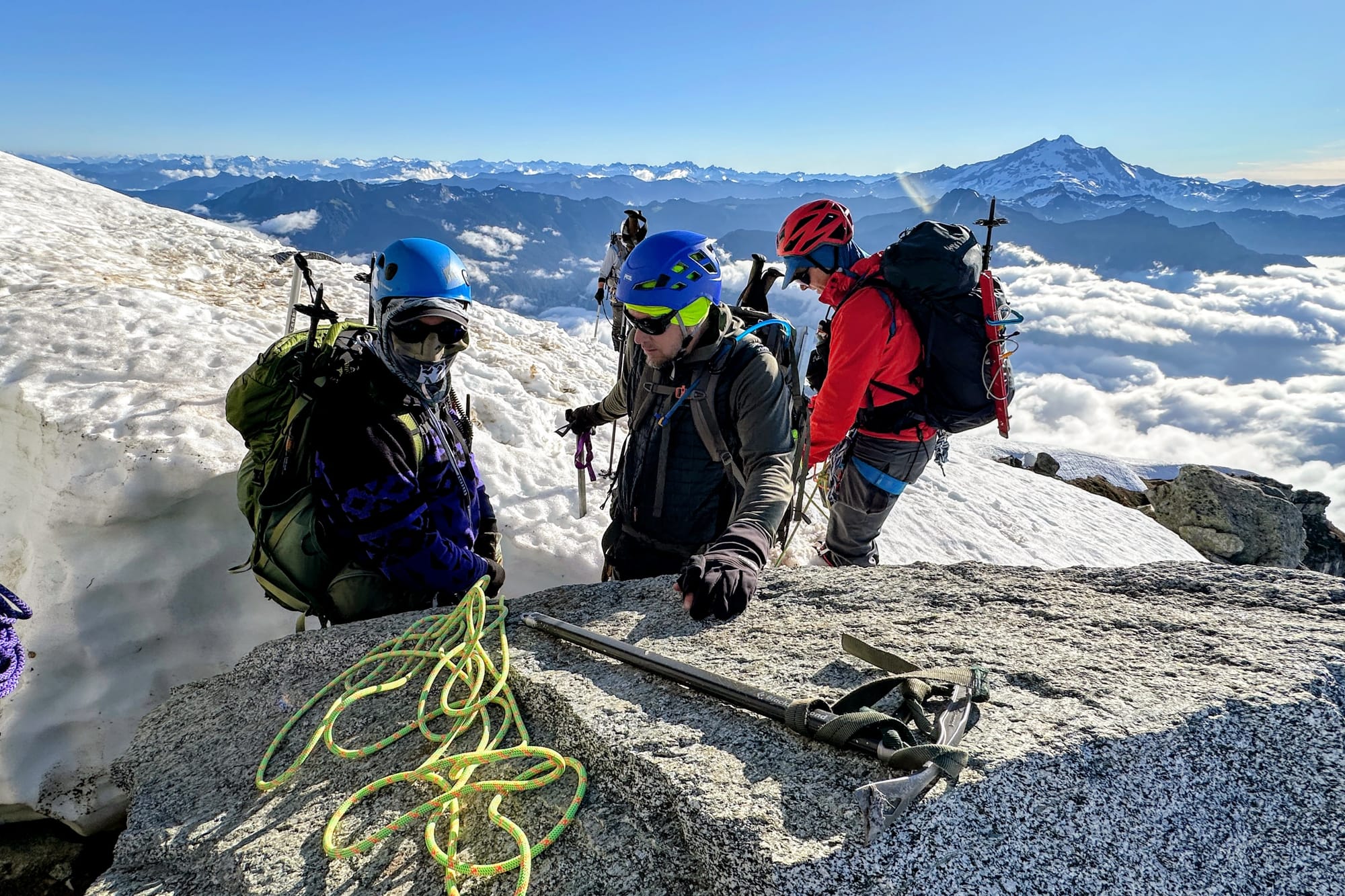
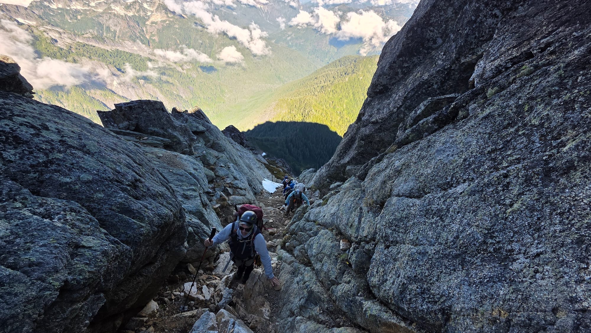
Following a well-traveled path on a series of ledges wrapping around the mountain, we eventually came to the first of two gulleys, carefully picking our way up the loose rock. Clearing the first gulley, we turned to climber's left, contouring around the mountain to a second gulley. There was a moderately exposed mantle move that felt like the crux, but otherwise it was mostly class 2-3 scrambling, eventually topping out on a ridge. We stopped for a short break and heard the rumble of a rapidly-approaching helicopter, suddenly popping into view about 300 feet above us. We watched as it traveled south, disappearing into one of the myriad valleys far below.
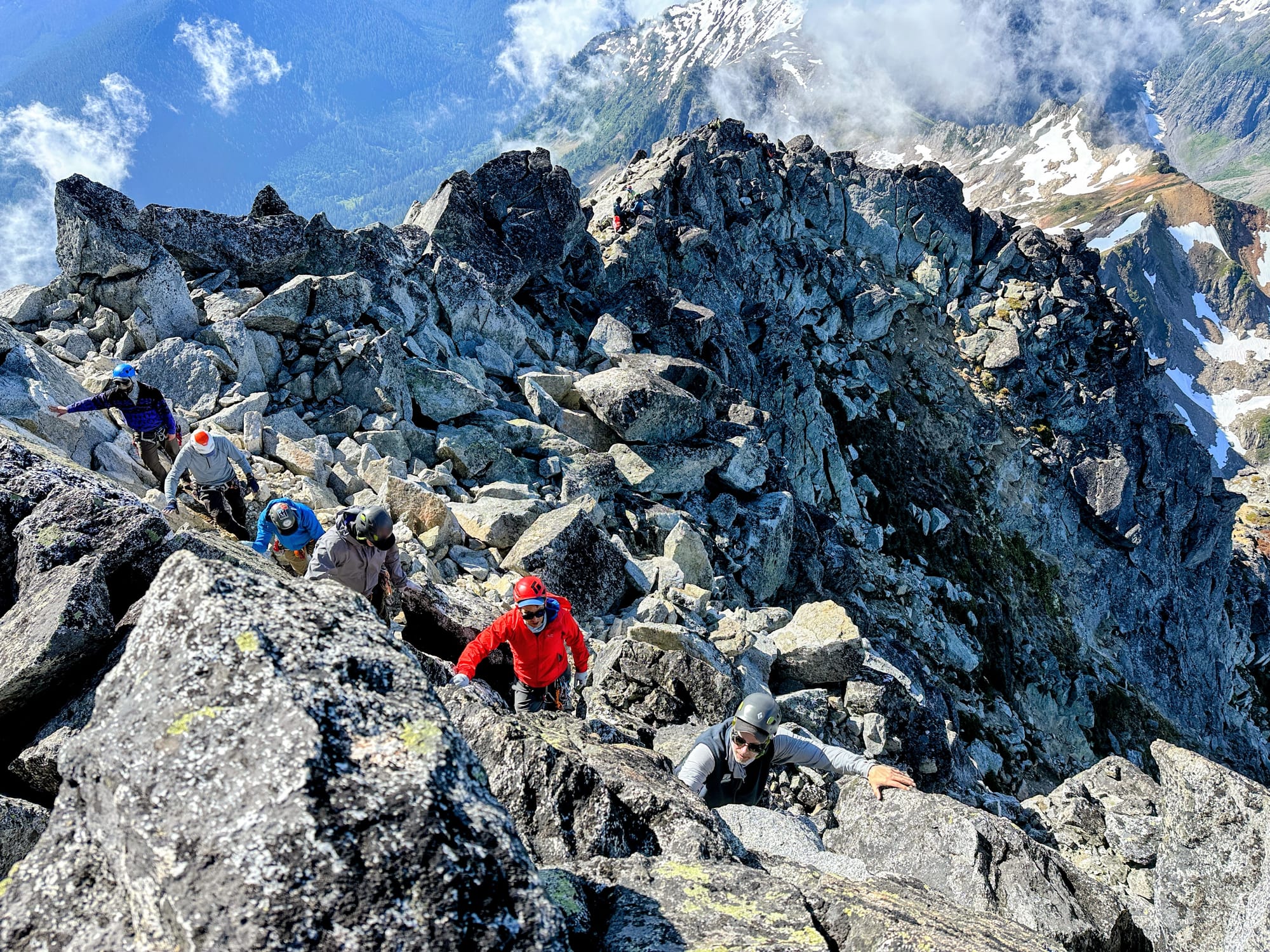
We stowed our packs and then carefully worked our way along the ridge to the summit block. There was an exposed "bear hug" move around one of the larger rocks blocking the route and beyond that, a short class 3 scramble to the true summit. We arrived at 9:30 AM, 5 hours after leaving camp and were greeted by expansive views in all directions.
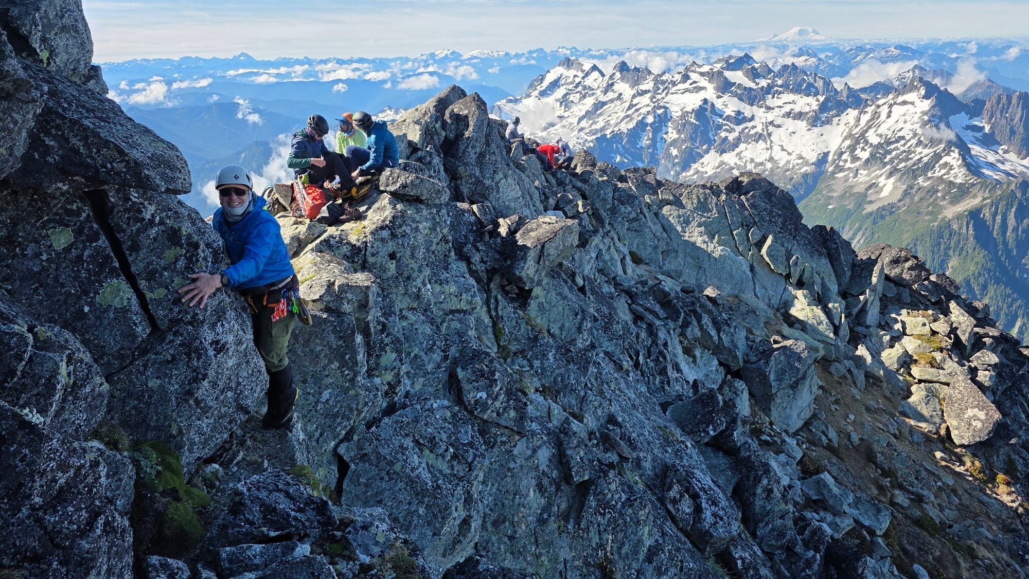
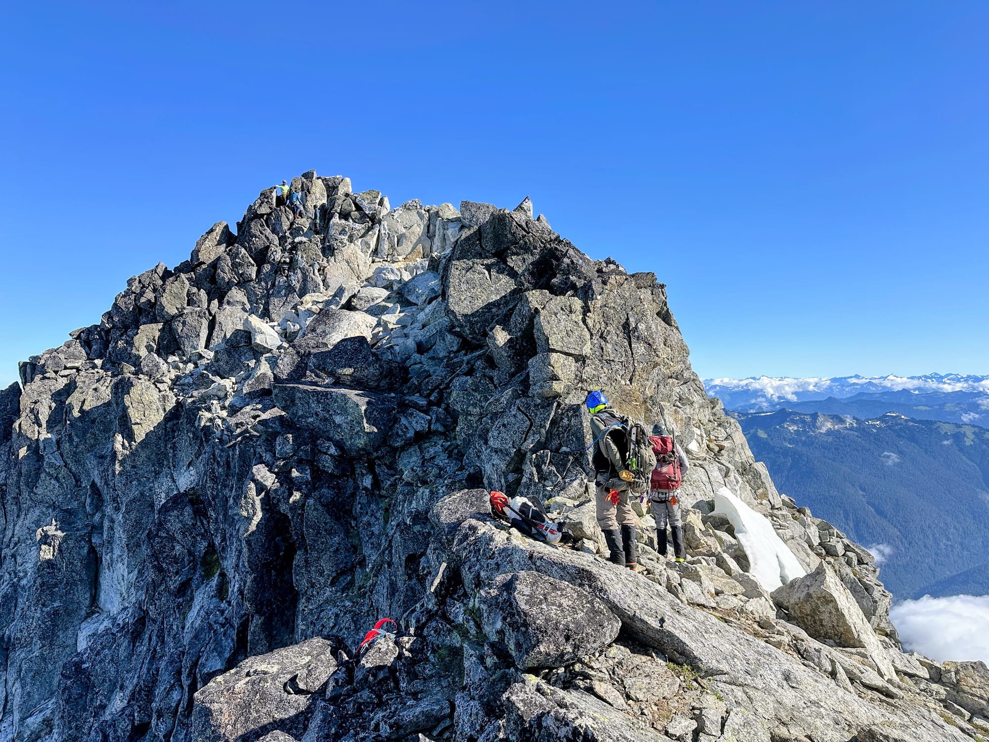
Summit Panorama
We signed the summit register, briefly flew a flag in honor of the 250th Fourth of July, then began the down climb. It took about 90 minutes to reach the glacier and about three hours total from the summit to camp. During the transition from rock back to the glacier, we were again buzzed by the helicopter, this time traveling in the opposite direction.
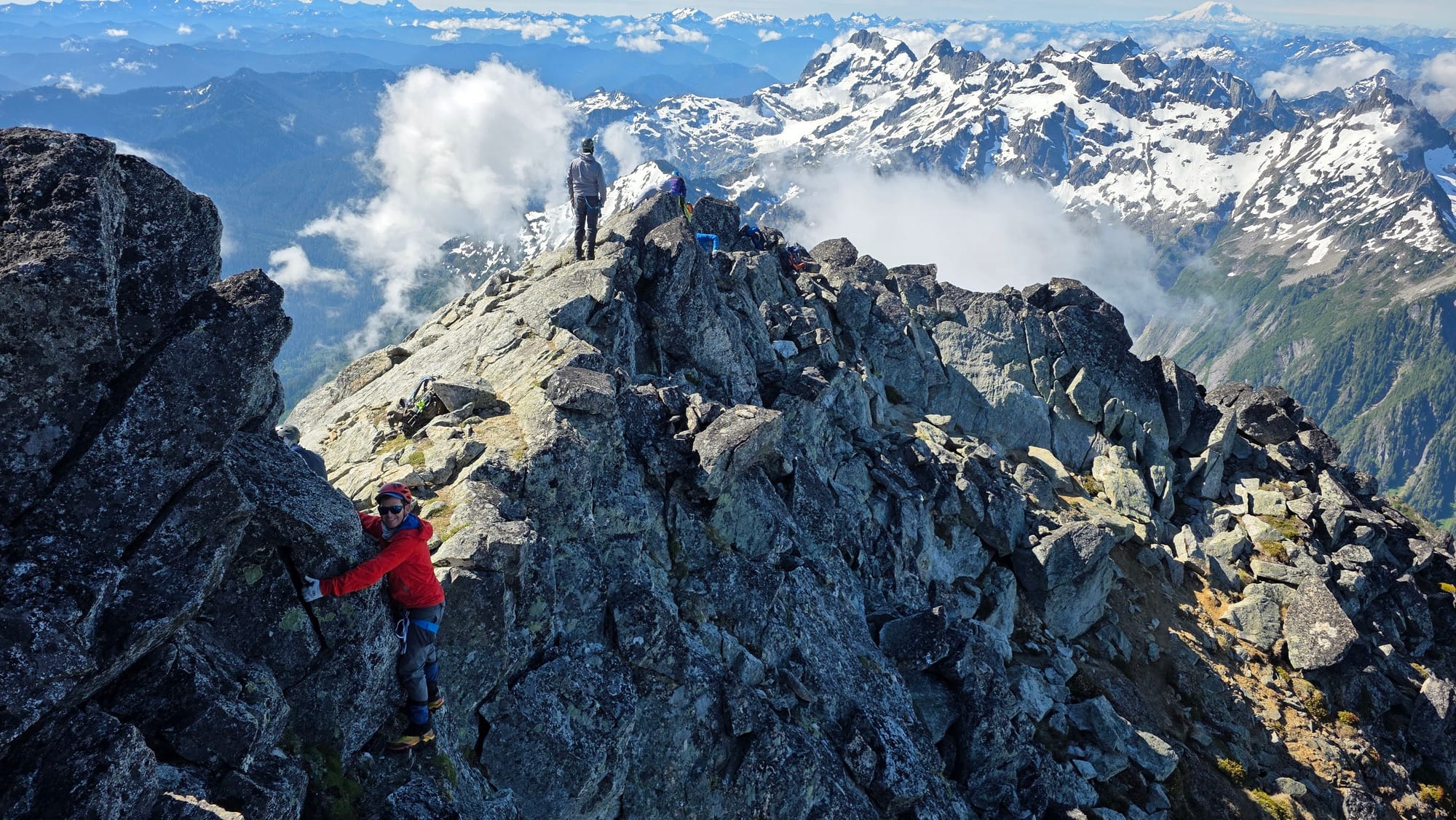
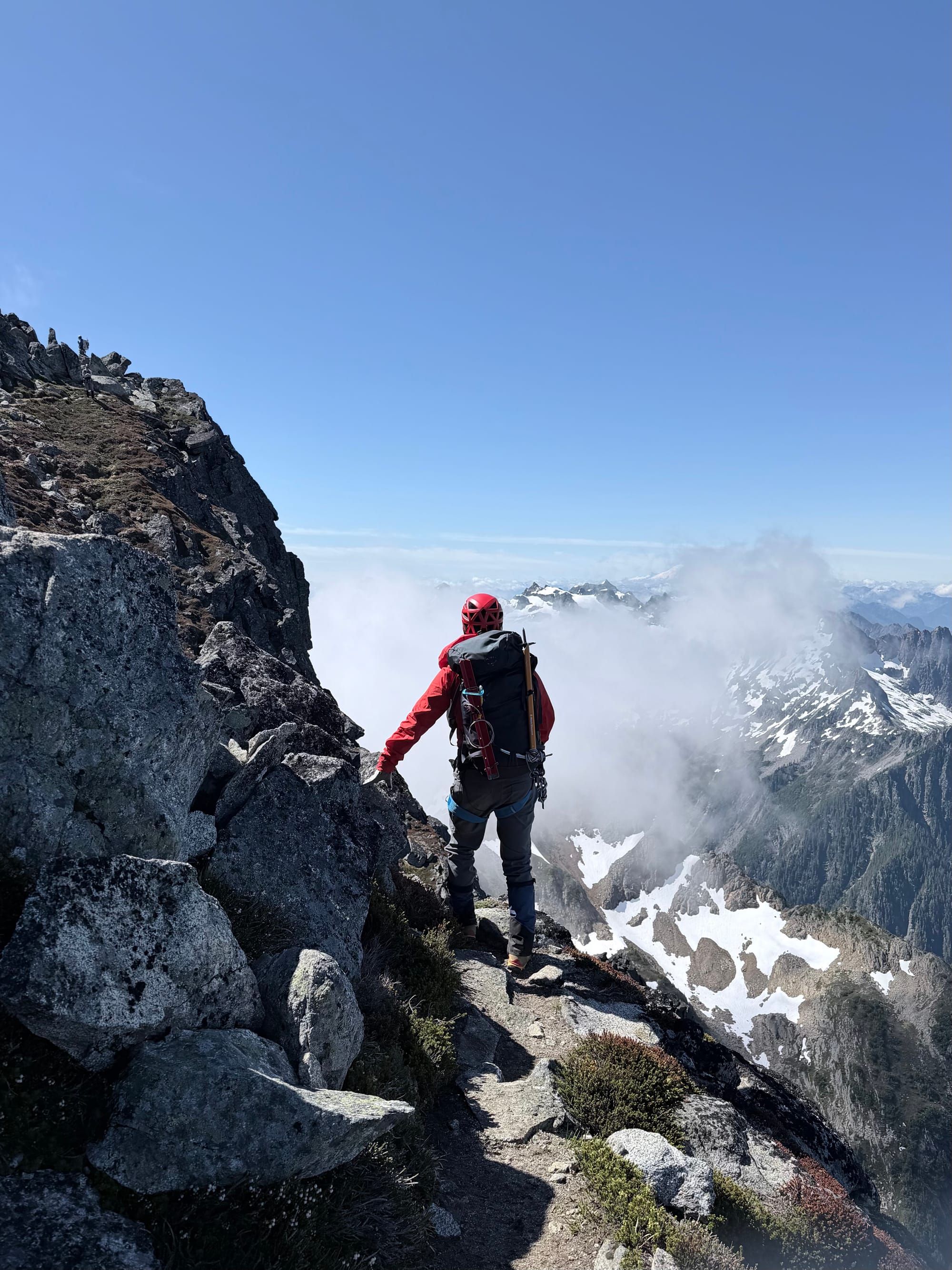
By midday, the snow on the glacier was much softer and we plunge-stepped our way down. We noticed a few more crevasses that weren't visible on the way up, but still easy to avoid. Two groups were still ascending and passed us on their way up. The lead climber for one of the groups was wearing shorts and a T-shirt as she sprinted up the glacier without the burden of a rope or heavy pack. It's always eye opening to see the varying risk tolerances of people climbing in glaciated terrain.
We arrived back in camp at 2 PM, taking an hour to pack up and filter water before heading out. We made reasonably good time to the trailhead at a little over three hours, slowed again by the downed tree obstacle course. On the drive home, we stopped at Omega Pizza and Pasta in Granite Falls for a much-needed post-climb meal.
Starting elevation: 2,789 ft | Elevation Gain: 5,046 ft
Max elevation: 7,835 |Distance: 9.7 mi (round-trip)
Equipment: poles, helmet, crampons, glacier rope, ice axe, picket (not used)
Comments ()