Dry Mountain
What started as a day of exploring forest roads in the southern Olympics evolved into a serendipitous mountain scramble. I wanted to scout out the condition of the forest roads leading to Mount Tebo, in preparation for a climb in better weather. With rain in the forecast, I thought this was a good day for driving, rather than hiking.
Drive
From USFS 2353, I crossed the South Fork of the Skokomish River and drove through an open wildlife gate. The road gained altitude from here, passing several pull outs that appeared suitable for vehicle-based camping.
I thought I would not get much further than a four-way junction mentioned in the Mountaineers description of the Mt. Tebo hike, but the road up the mountain looked passable for high clearance 4WD vehicles. Rising steeply, the road degraded significantly, cut by several deep water bars.
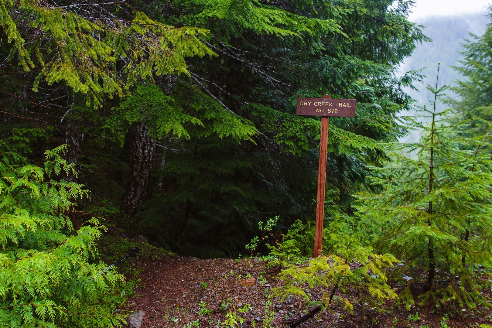
Soon I came to a spur road on the right and jumped out to investigate. There were a couple of fire rings at the end of the road and behind this, a sign indicating the Dry Creek Trail #872 trailhead. The conditions weren’t great for a hike and I wanted to explore a little more up the mountain road, but I thought the trail might be worth exploring later.
After resuming the drive, I encountered a rock-filled ravine cutting through the road. Not wanting to take my chances trying to drive over this, I turned back and parked in a small pull out, marking the location on my GPS as a good starting point for a future climb of Mt. Tebo.
I studied the map for a few minutes and thought I might go back to explore the Dry Creek Trail. Looking at Karen Sykes’ Hidden Hikes book (which I had just received in the mail), I found a nice description of the hike beginning on the Lake Cushman (east) side. I decided I would hike from the west side out to Dry Creek and back. I returned to the spur and parked near the trailhead. The rain was falling more steadily now, so I wore my rain gear and covered both my backpack and camera bag.
Hike
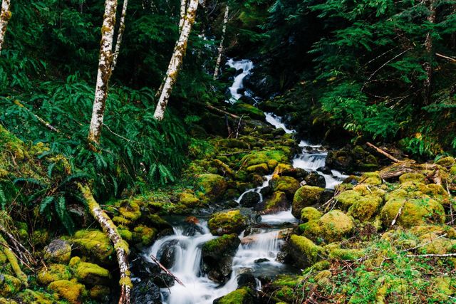
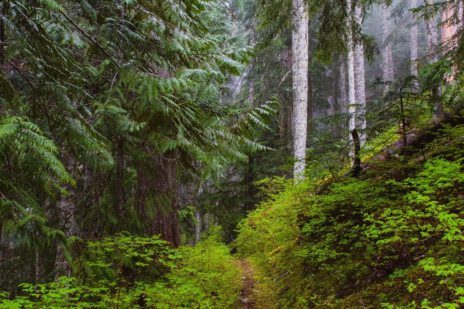
I started down the trail at 12:30 PM. Initially, the trail was quite overgrown with alder and brush. I saw some tire tracks in the mud, possibly from a motorcycle, and wondered what lay ahead. The overgrown trail eventually deposited me at LeBar Creek. The trail crossed the creek at this point, but it was running high with the early season snowmelt. Investigate further downstream, I found some small downed trees that appeared suitable for crossing. Using one of the trees as a handrail, I made it across without too much trouble.
 The trail beckons
After navigating more overgrown trail and crossing several more smaller streams, the path eventually opened up into an old logging road. The road was in better shape than the trail I just left, and meandered up the hill, passing some turnouts that were flat enough to be used as campsites. As I neared what looked like the end of the road, I noticed a broken sign almost hidden off to the left, indicating the continuation of the Dry Creek Trail.
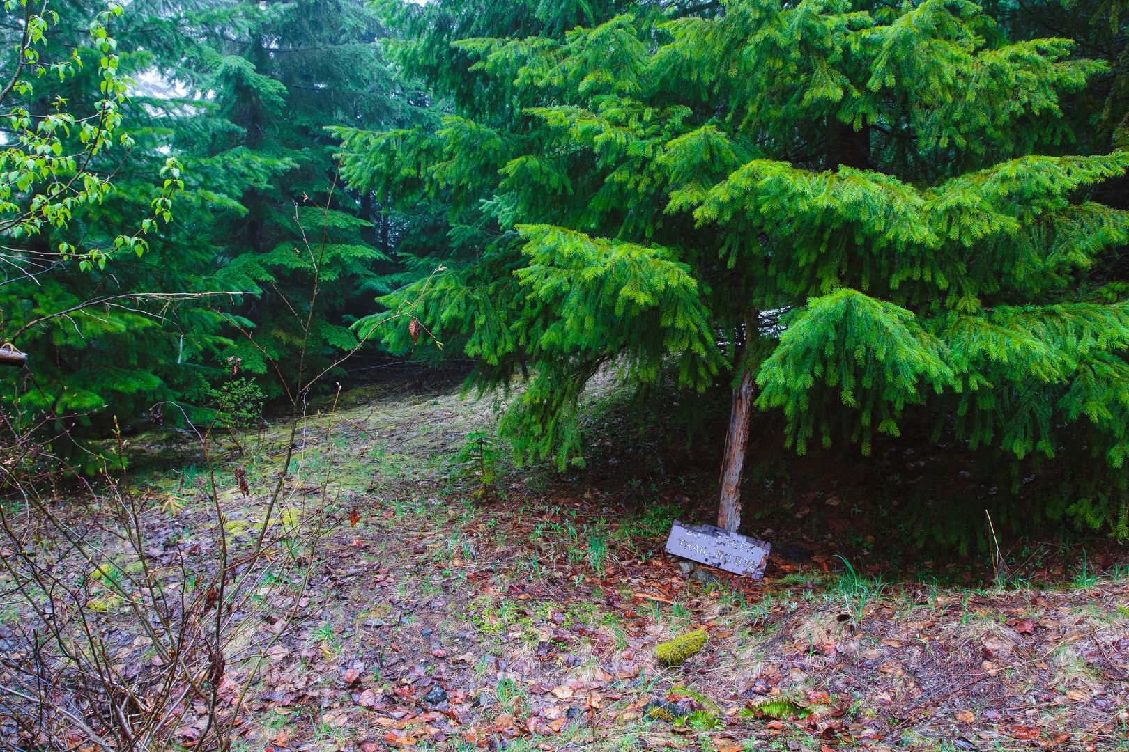 The trail junction sign has seen better days
The trail improved considerably at this point, entering second growth forest and crossing many small streams. A couple of downed trees along the way were easily crossed. As the trail gained elevation, I began to wonder how close to the summit of Dry Mountain it would take me. If I was close, I thought I might have time to reach the summit.
 The straight and narrow path
Scramble
At about 3,600 feet, I reached the trail high point. On a clear day, I would have seen Lake Cushman off to the right. Consulting the topographical map, I realized I was standing on a relatively broad shoulder heading up Dry Mountain to my left and a small climber’s trail wound uphill, disappearing into the trees. Only 900 feet below the summit, I headed up.
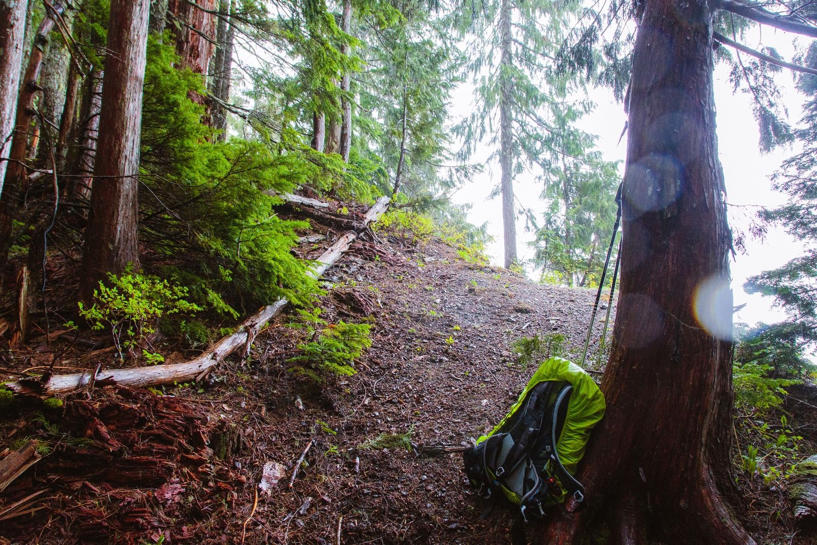 Climber’s trail on the left
Initially, there was a relatively well-defined path and there was even a fallen tree that had been cut to keep the trail open. Pushing forward, I came to a rocky hillside meadow where the path dissolved into a multitude of goat trails. Now out of the forest, the rain became more noticeable as I continued on, scrambling up the mountain. This direct approach took me over some exposed rock that I hoped to avoid on the way back down, thinking that descending this in the rain would be not be the safest option.
At about 4200 feet I encountered snow. Softened by the rain, the snow-covered slope was a relatively easy climb and I kicked in a few steps along the way. At about 2:30 PM, I reached the ridge, covered with a blanket of snow and a few small trees poking through. The views were mostly obscured by fog, but I had intermittent views of point 3895 to the south.
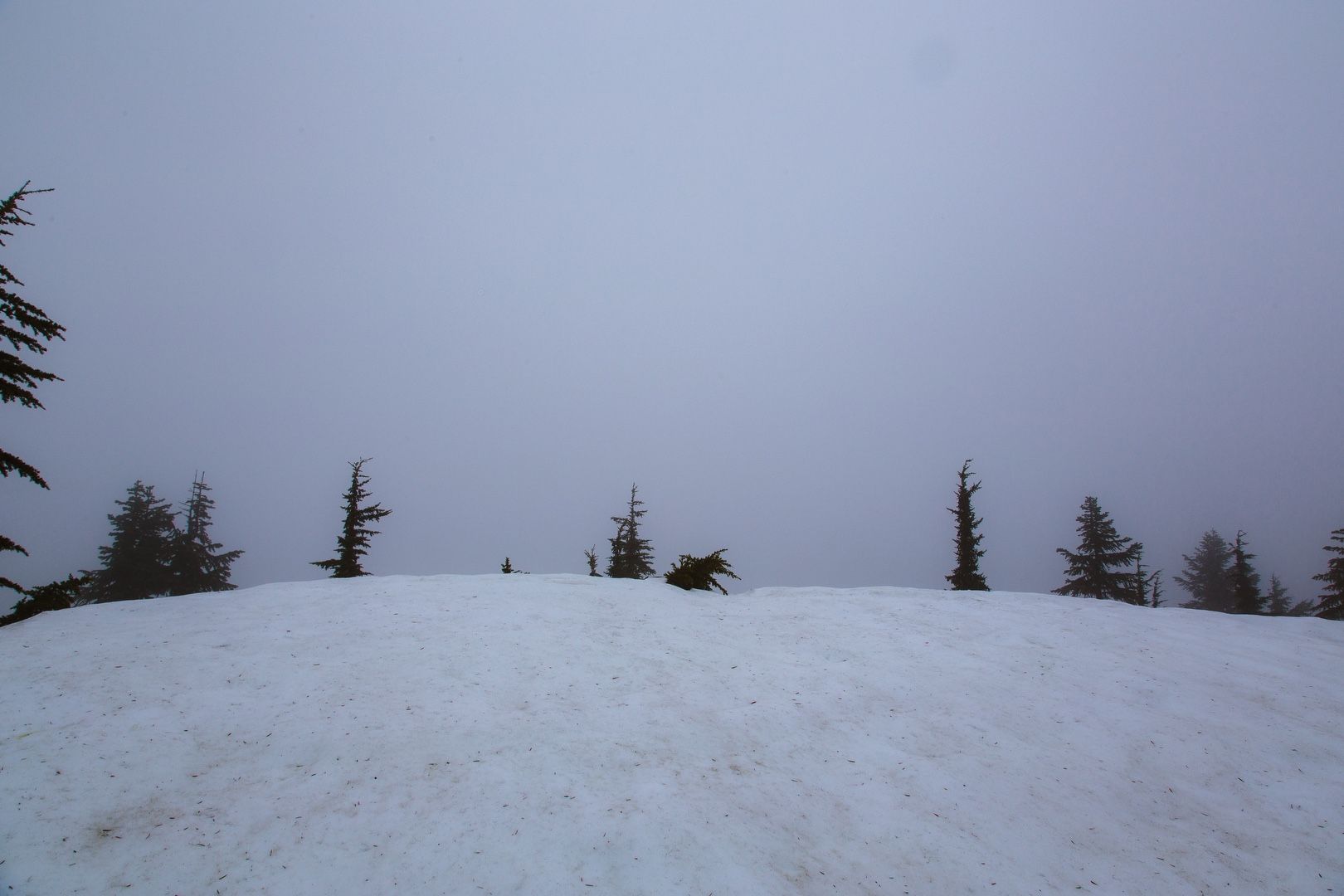 Limited views on the ridge
Consulting my topographic map, I realized the true summit was across the ridge to the northeast. I traversed toward the high point, but the weather and visibility deteriorated significantly. With my hiking pants now soaked from the rain and the wind picking up, I decided to turn around.
The hike down the mountain required more concentration, with slippery conditions and some exposed areas where a fall would have been consequential. Plotting a course through the trees and making frequent use of veggie belays, I steered around the exposed rock I had climbed on the way up.
I was eager to get out of the wind and under the cover of forest. My fingers were beginning to feel numb, so I put on my dry gloves with hand warmers. Rejoining the main trail, I made good time back to LeBar creek and crossed via the same tree bridge. Mount Tebo made a brief appearance through the fog on the way down and I made it back to the trailhead by 4:00 PM.
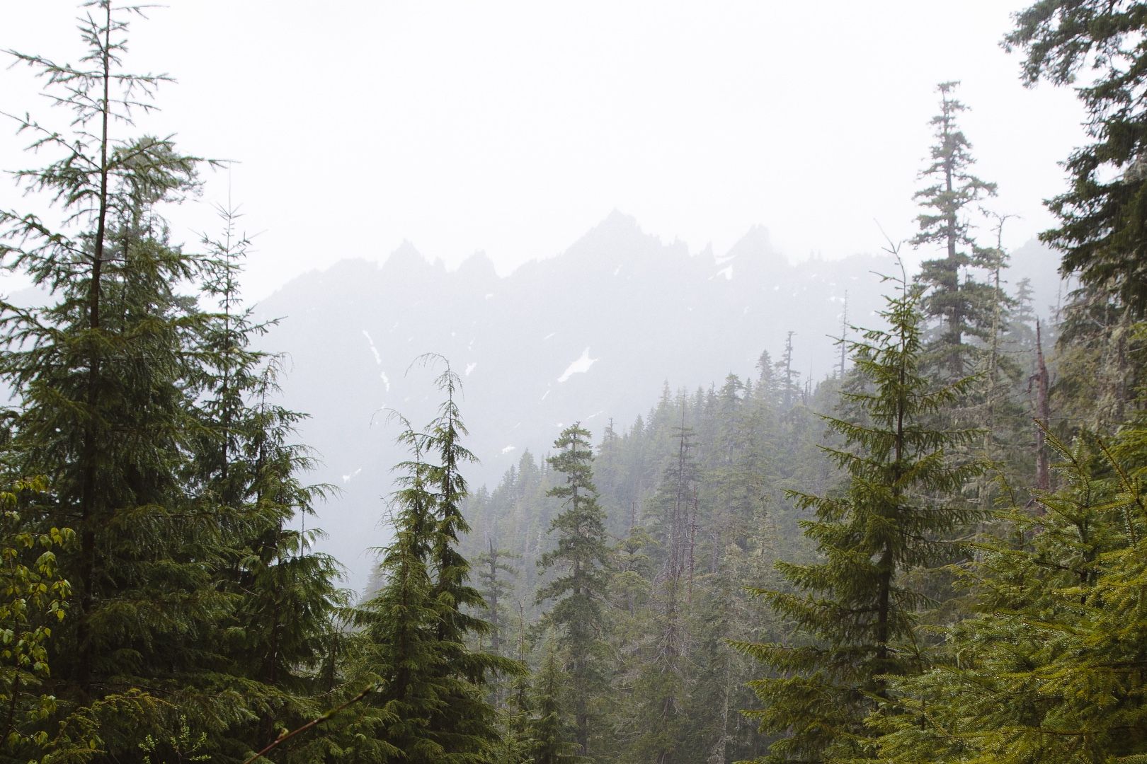 Mt. Tebo in the mist
Starting elevation: 2,487 ft | Elevation gain: 1,983 f | Distance: 5.03 mi