Mount Church
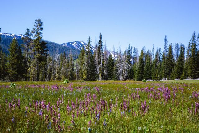
Having unsuccessfully summited Mt. Church on my first attempt and fresh off the euphoria of the Gilbert Peak climb, I decided to head back to Mt. Church for a second attempt. Studying the snowfall layer in GaiaGPS, it appeared the snow had melted out and would be easier to climb than on my previous attempt. The weather report called for partly sunny skies and mild temperatures, perfect for a day on the trail. With the wildlife gate open, I could drive all the way up USFS road 2361 to where the trail begins on the old decommissioned logging road (USFS 2363).
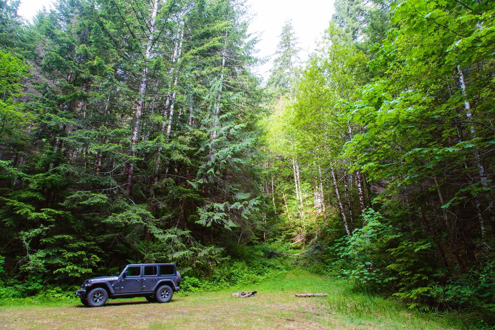 Ready for adventure
Hike
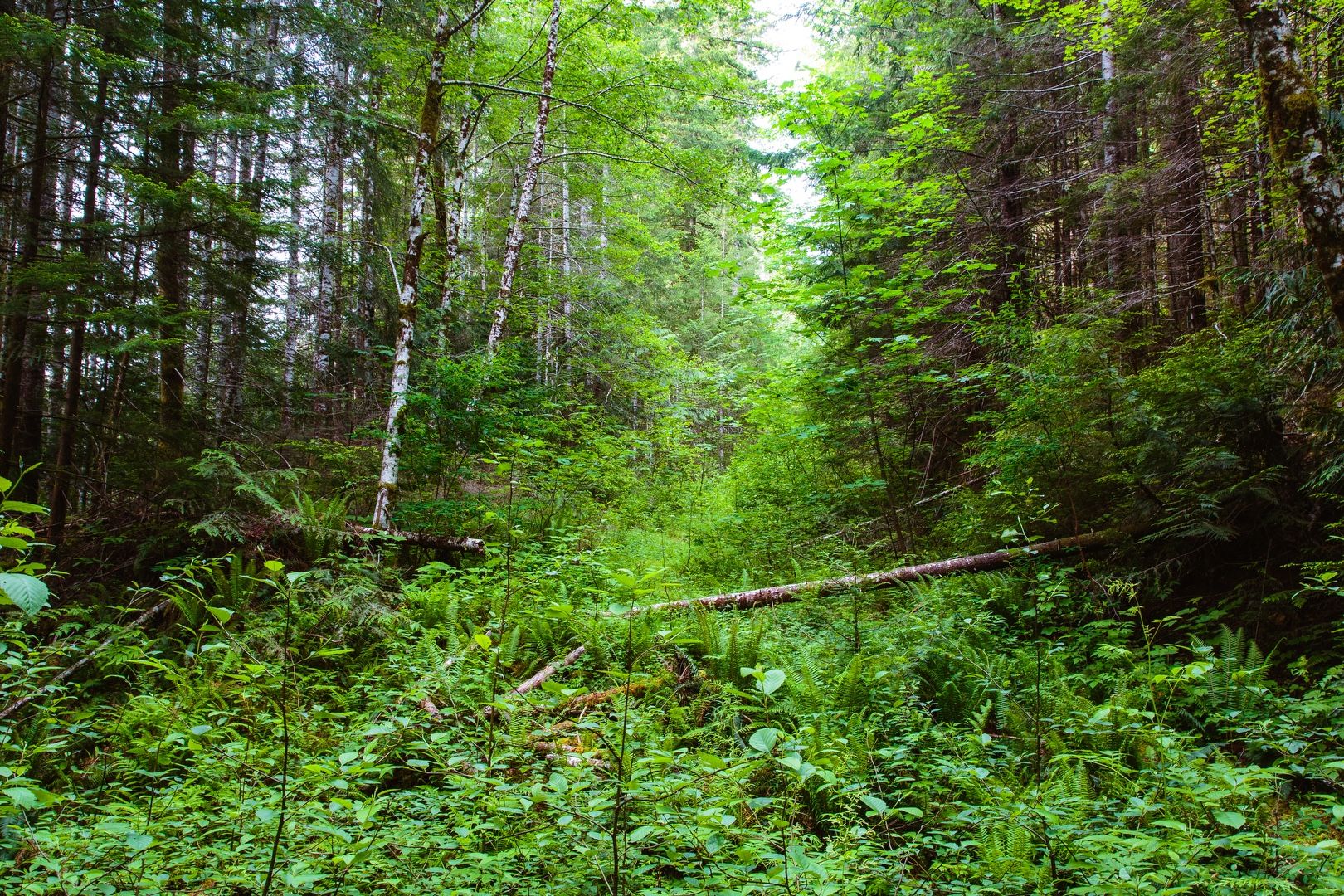
After an uneventful drive, I started up the trail at about 8 AM. The brush fighting began almost immediately. I was concerned that I would encounter more blackberry bushes than last time, but they were still relatively sparse. I found the two big ravine crossings easier than last time because the water level was lower, a good sign that the snow was disappearing.
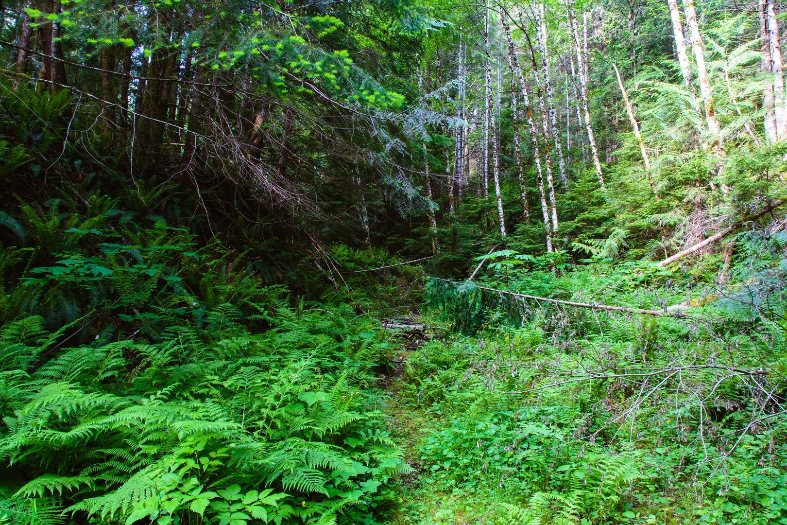 Yes, this is the trail
 Yes, this was previously a road
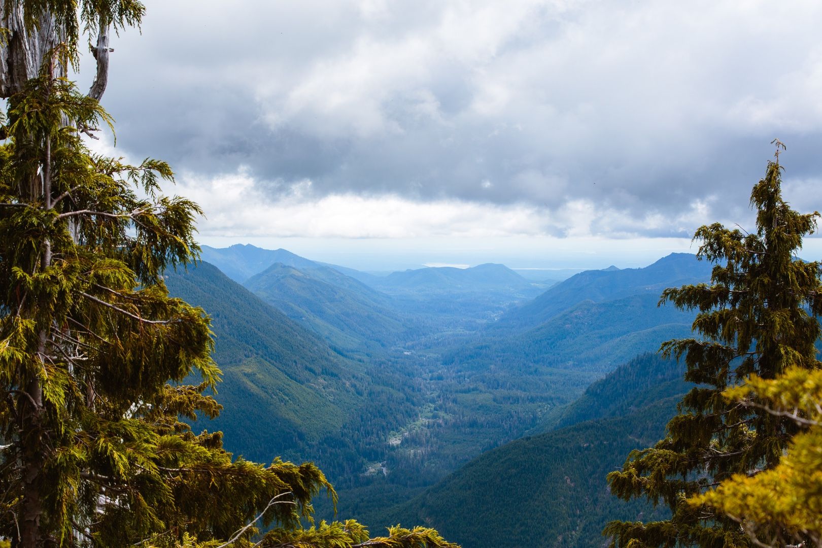
After making a right turn onto a logging road spur (prior to the huge washout that I did not cross previously), I passed the point where I turned around last time. Continuing on, I eventually caught my first glimpse of the summit, which is difficult to see from lower on the trail due to trees obstructing the view.
After a few more turns in the road, I came to the end. A report I found online mentioned starting up a ridge about 100 yards before the end of the logging road. There was no obvious climber’s trail near this area and no easy way to get onto the ridge. I eventually scrambled up a small cliff, pulling myself up on some exposed tree roots.
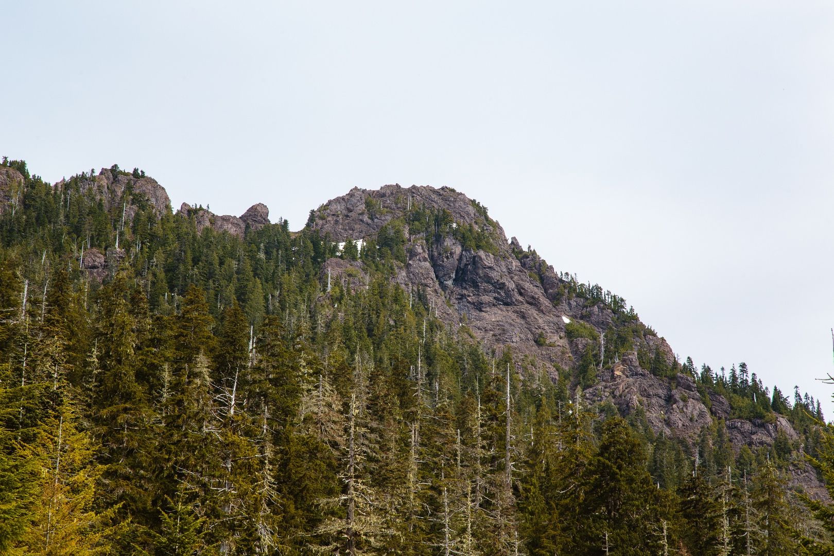 First appearance of the summit
Scramble
Thus began a major bushwack up a very steep ridge. Without an obvious path to follow, I just headed in the general direction of “up”. I made slow progress, dodging trees, roots, moss-covered slopes and winding around sketchy rock walls. I was trying to stay right on the mountain “within earshot of the drainage” (per the online report) but I didn’t hear anything. The route to the right also was blocked at several points by sheer rock faces that I had no intention of climbing. The route to my left was easier and gradually I drifted further in that direction.
At about 4000 feet I realized there was still snow on Mt. Church. The drainage to my right was a hidden snow gully that broadened as I got closer to the summit. At this point, I regretted not having microspikes or an ice axe with me. I had no appetite for climbing this with my hiking boots, as the grade was becoming quite steep and the risk of sliding down the gully was significant. I realized that to get back over to the right where a notch in the rock allowing access to the summit was supposed to be located, I would need to traverse the gully. Deciding it was unsafe to attempt this, I continued to climb letward on soil and rock until I could not safely climb any higher. I ended up sitting on a steep rock with a good view of the summit to the north. As I was eating my lunch, I saw a mountain goat on the summit looking down at me.
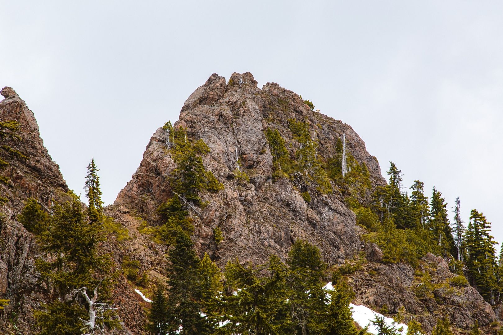 Summit + mountain goat view from SE
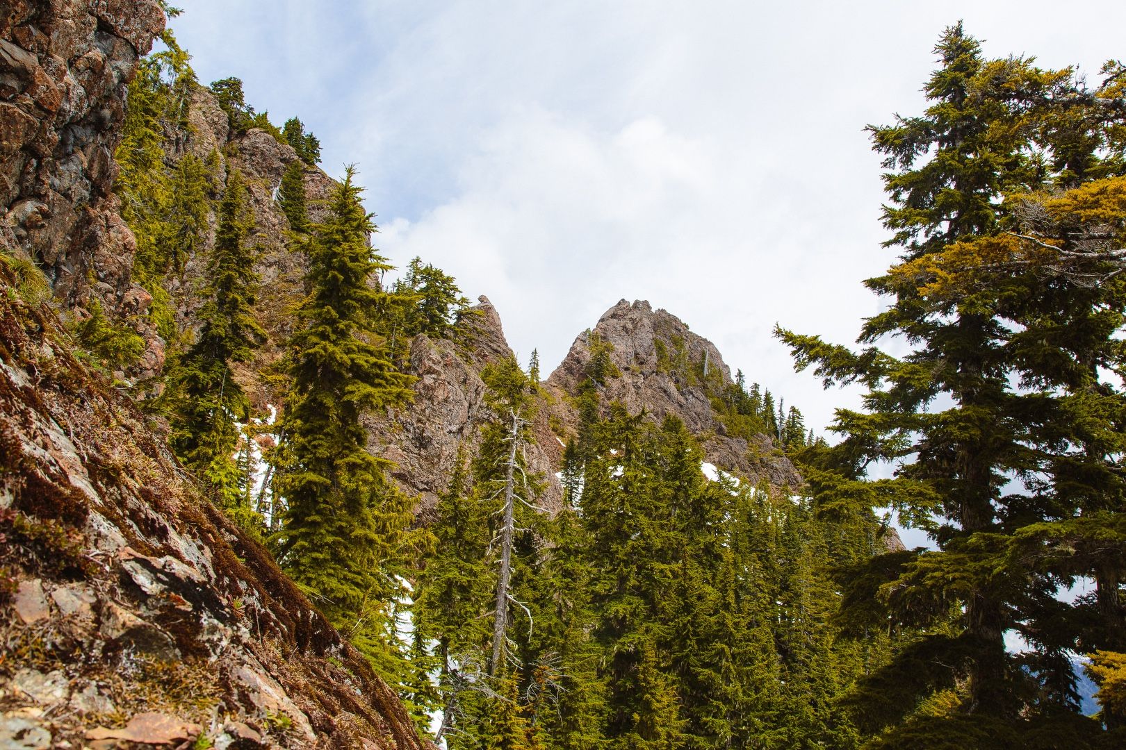 Summit so close yet so far
 Church creek drainage
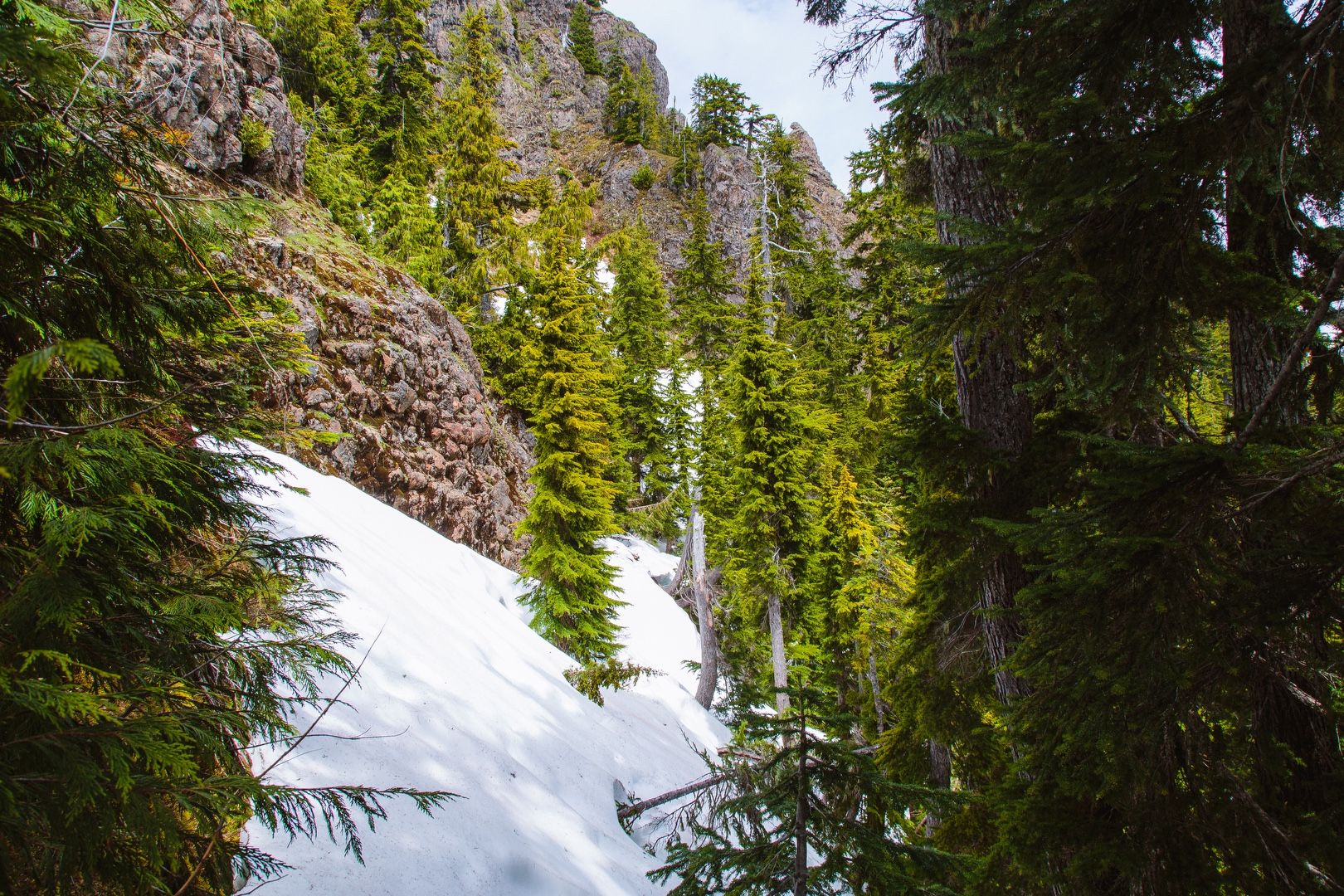 Snow gully at 4,300 feet
After lunch, I headed back. Climbing back down the ridge was nearly as difficult as climbing up, but I made good time. I bushwacked my way back down the forest road, stopping to filter some water along the way. I returned to the trailhead at about 3:30 PM, over 7 hours after I set out. Without all the brush and off-trail scrambling, this would have easily been a 5 hour outing.
I learned a good lesson on this hike: don’t trust the snow level estimates, because long after the majority of the snow has melted, pockets of snow can remain. In addition, it’s good to have traction devices and an ice axe on early season climbs!
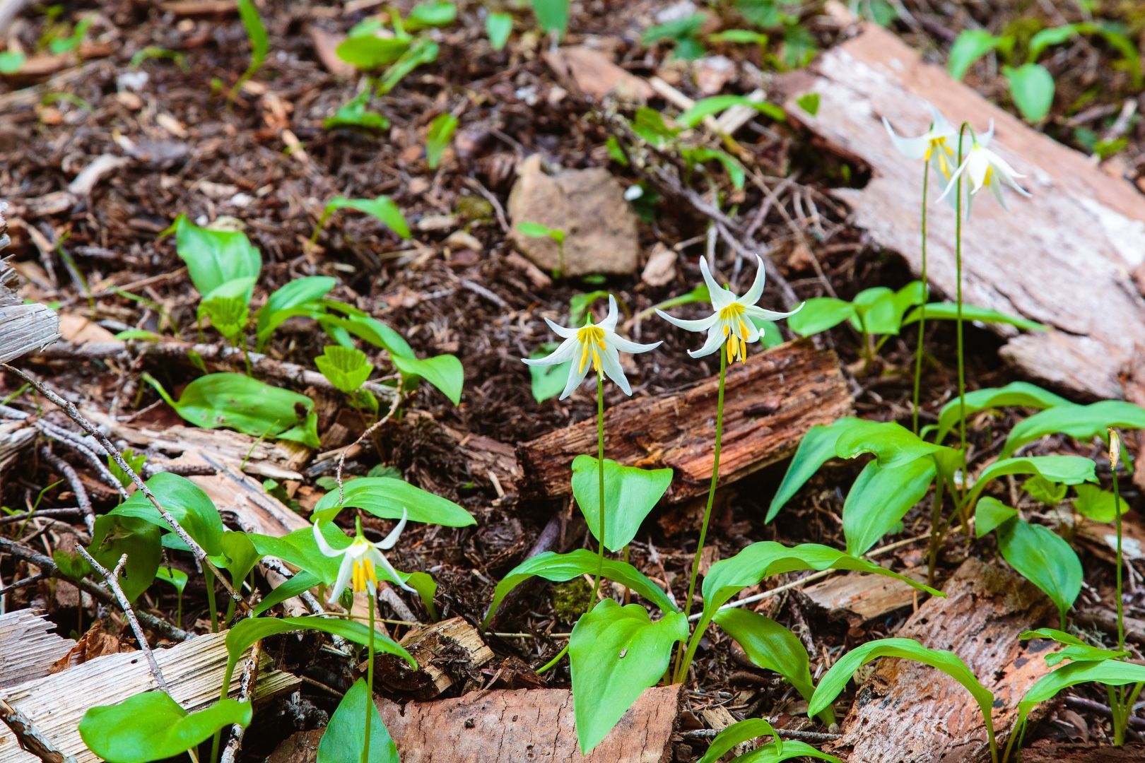 Avalanche Lilies (Erythronium montanum)
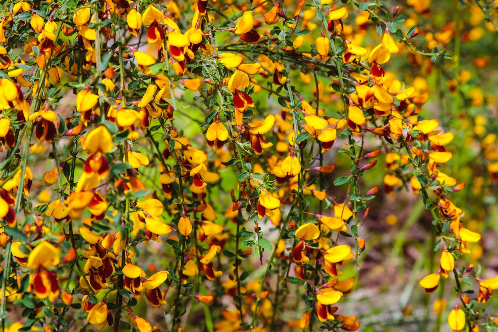 Unidentified flowering vine
Starting elevation: 1,090 ft | Elevation gain: 3,188 ft | Distance: 10.1 mi