Mount Church
A friend gave me the second edition of the Climber’s Guide to the Olympic Mountains, published in 1979. Reading through it, I found this tantalizing sentence: “Mt. Church. The most enjoyable climb in the southern Olympics — judged by its ease of access and challenging variety.” I started looking for information about Mt. Church online and came up with very little, which was a bit puzzling given the glowing book description. I studied maps of the area and saw that forest service roads 2361 (Church Creek) and 2363 would provide access for the approach. Road 2361 was closed for wildlife until May 1 and I couldn’t find any information online about road 2363. Figuring it was worth a look and not wanting to wait until May, I decided on a bike and hike approach.
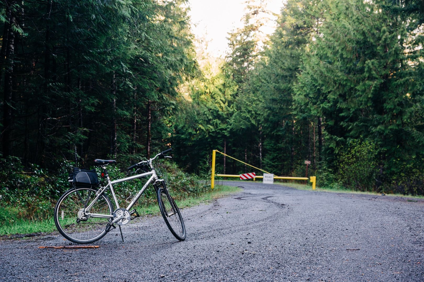 Ready to ride
I biked about 3.5 miles on mostly gravel roads beyond the closed gate. After arriving at the GPS coordinates for road 2363, I had a difficult time actually finding the road. Eventually I spotted a bent-over road marker and, looking to the left where the road should have been, saw a huge berm. At this point, it was clear the road was decommissioned and active measures had been taken to prevent its use.
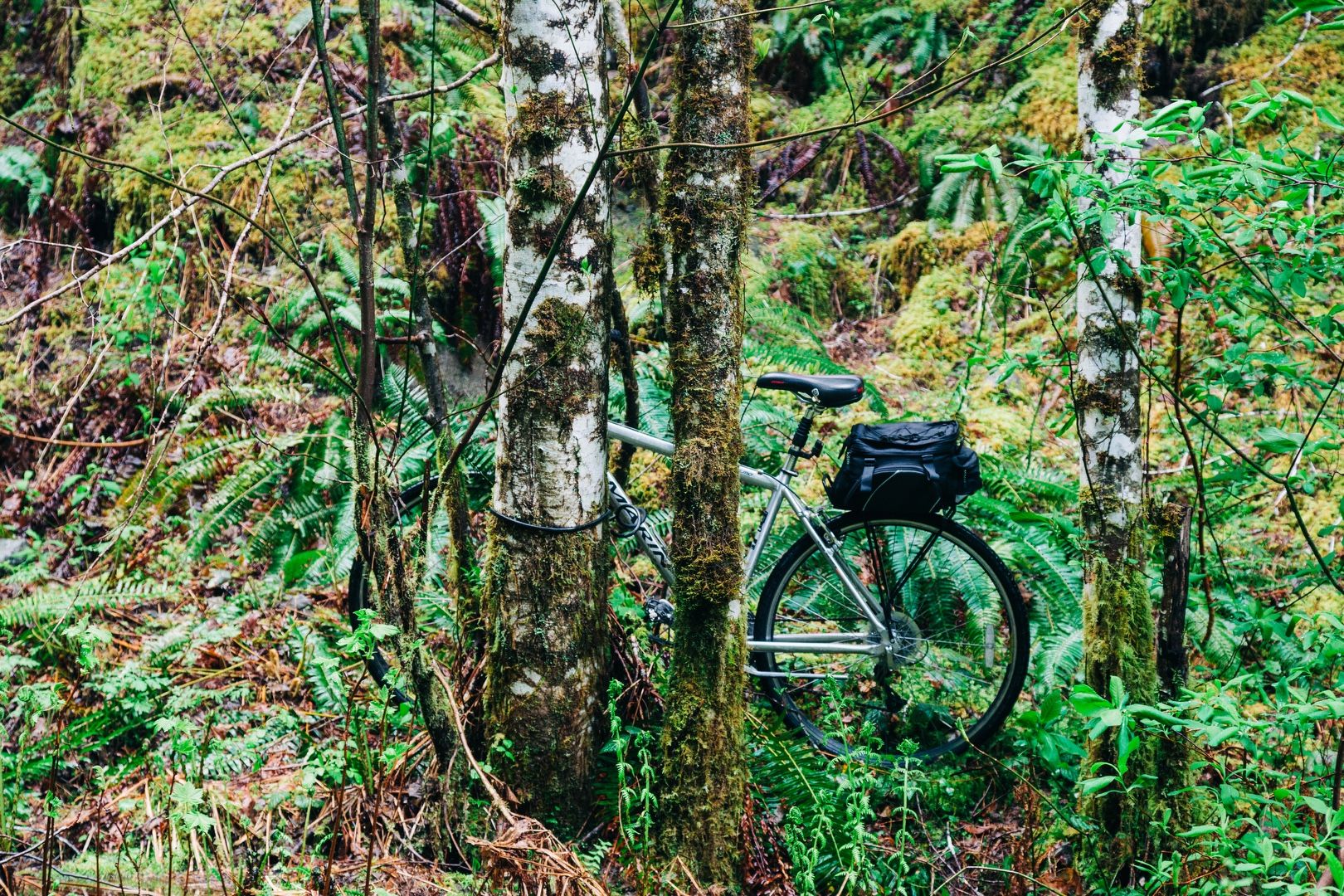 Bike rack
 Road block
I climbed over the berm, and found a very deteriorated road being reclaimed by the forest. I slowly made my way down the obstacle course of a road, through overgrown brush, over blowdowns too numerous to count, around boulders, across ravines, and over rockslides.
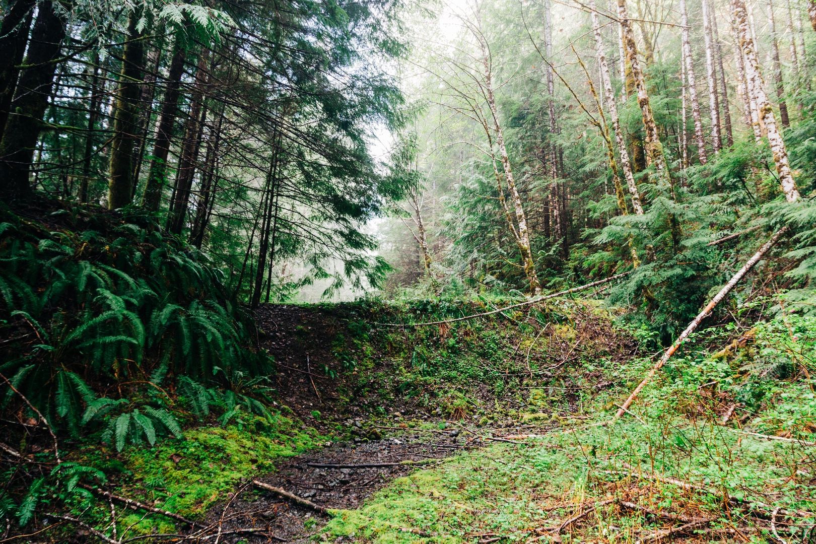
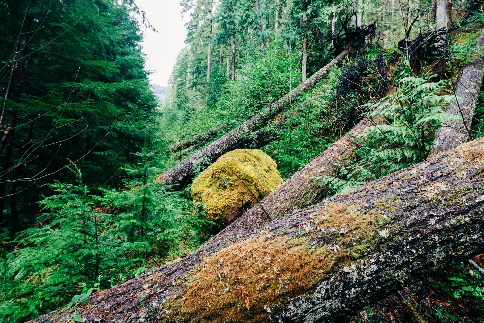 The road is in here somewhere!
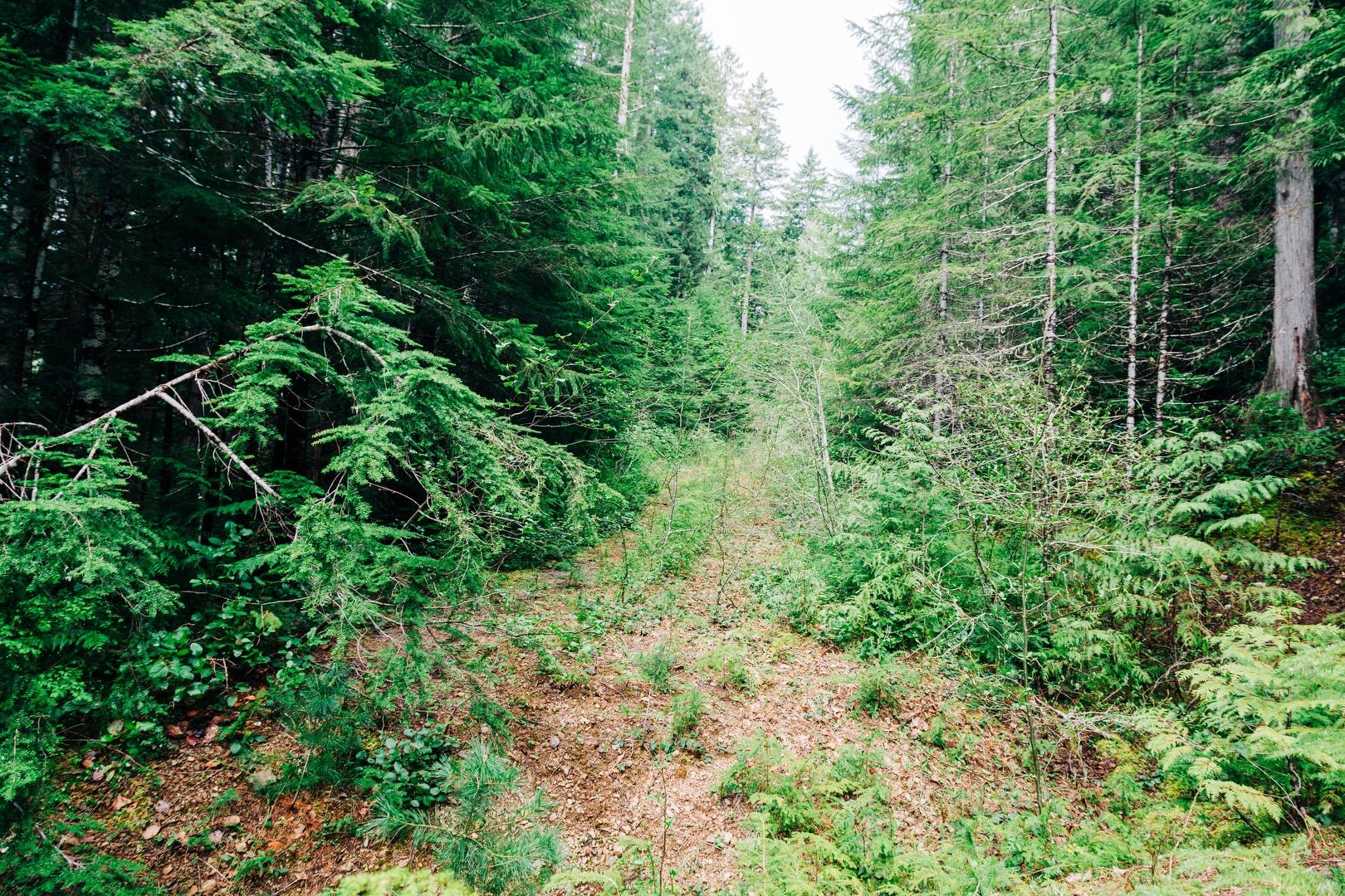 “Good” section of the road
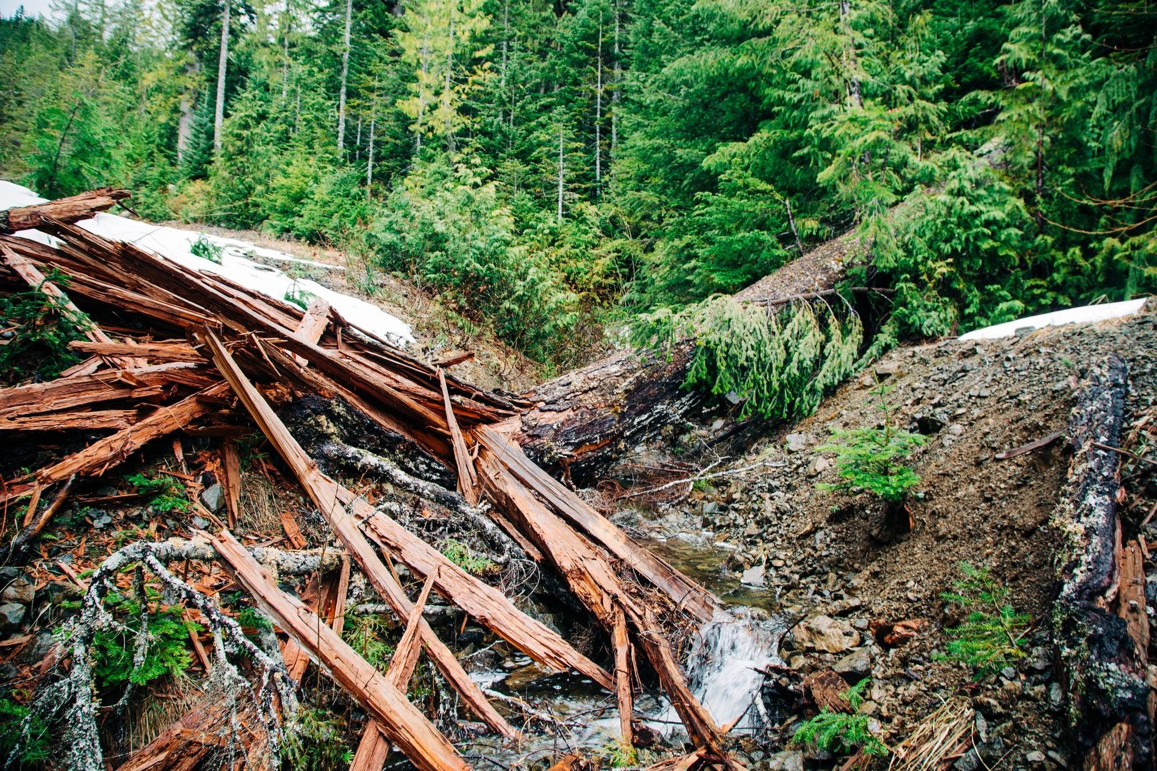 Matchsticks
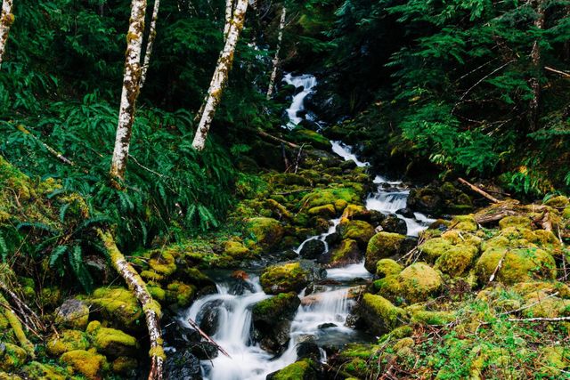
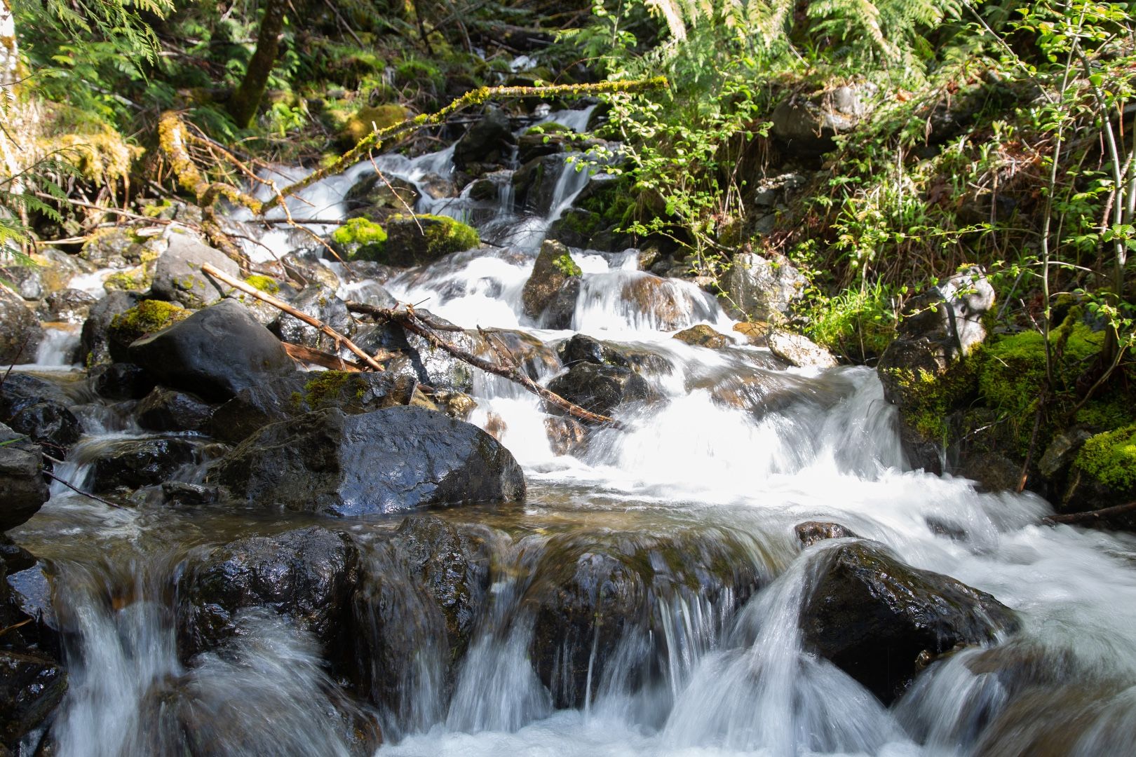 Falling water
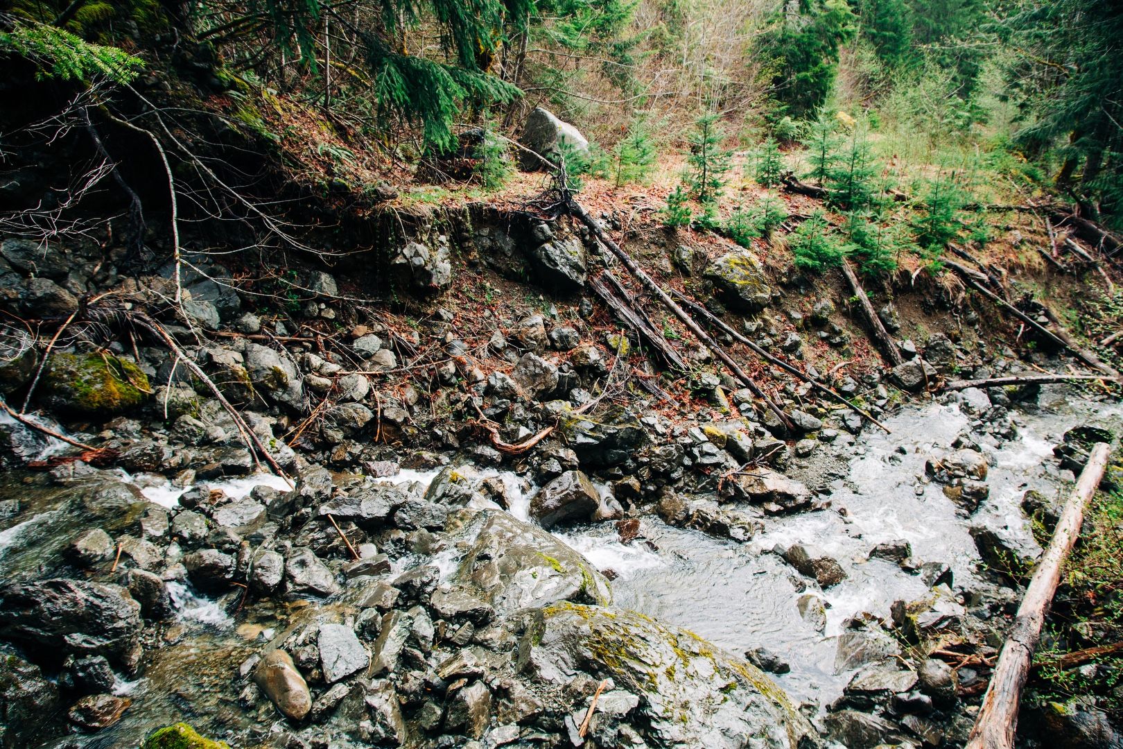 A river runs through it
I was able to make it about 4.5 miles down the road, but the weather turned and it started to rain steadily. When I encountered snow around 2,500 feet, I decided to turn around. I had another 2,000 feet of climb in front of me and with the weather deteriorating, continuing was not the safest option. It’s obvious why this mountain is not in any recent trip reports because even getting to the beginning of the climb is a significant challenge.
Starting elevation: 590 ft | Elevation gain: 2,344 ft | Distance: 16.0 mi