Sasse Mountain, Howson Peak
Having summited Hex Mountain in March of 2021, I was drawn back to the Cle Elum/Teanaway region for another snowshoe trip. With low avalanche danger and sun in the forecast, I set out to climb Not So Sasse Peak and Sasse Mountain. My plan was to complete a loop by traversing Sasse Ridge to Howson Peak and Point 5159, with a contingency plan to turn around after Sasse Mountain.
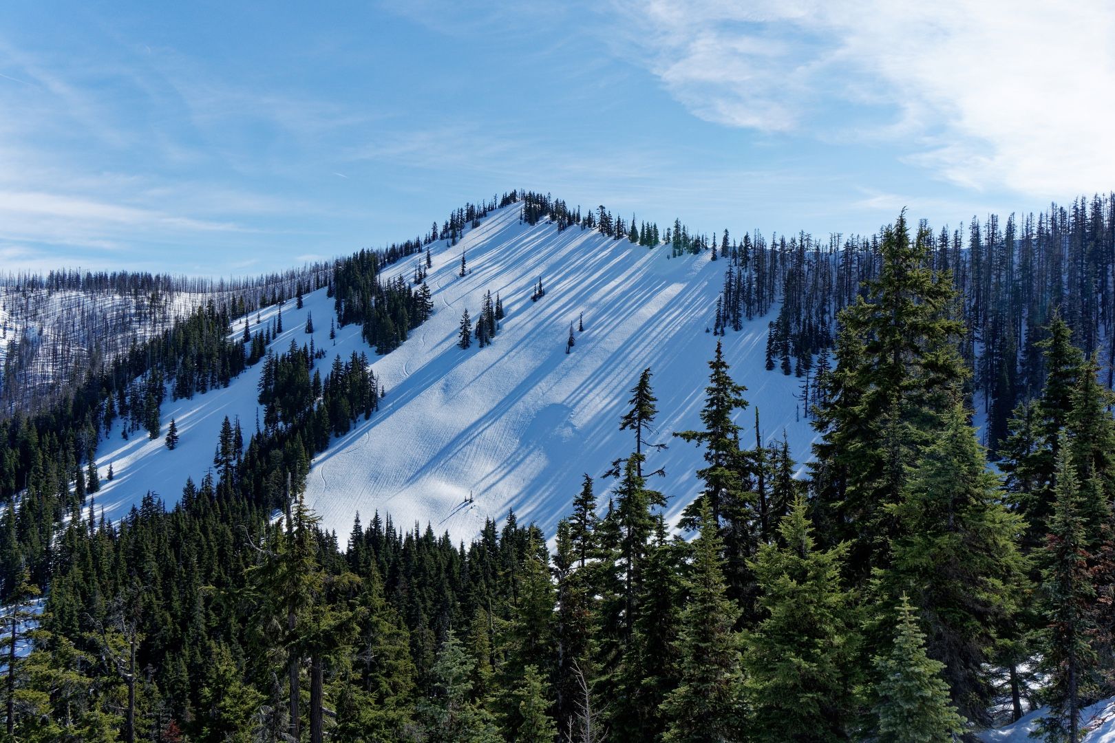 Not So Sasse west face
I woke up at 5:30 AM and made the long drive to the starting point. I parked on Salmon la Sac Road about 200 yards south of the French Cabin Sno-Park (Sno-Park permit required even on the street) and headed out at 8:30 AM. I wore snowshoes for essentially the entire trip, although the snow was initially consolidated enough that microspikes would have sufficed.
There was no obvious trailhead, but I found some footprints in the snow heading up a ramp that I imagined to be the trail. After a short walk through the forest, I crossed Howson Creek on a thin snow bridge that appeared to be supported by some logs, still wearing snowshoes and managing not to catch them on anything.
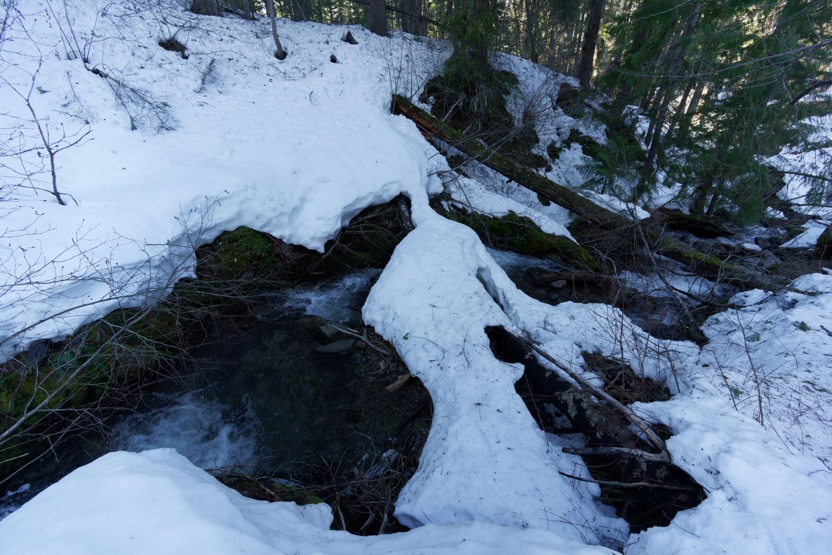 Snow bridge over Howson Creek
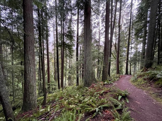
Beyond the creek, I intermittantly followed some snowshoe tracks that headed uphill. The slope steepened considerably, gaining about 2,000 feet in just under a mile.
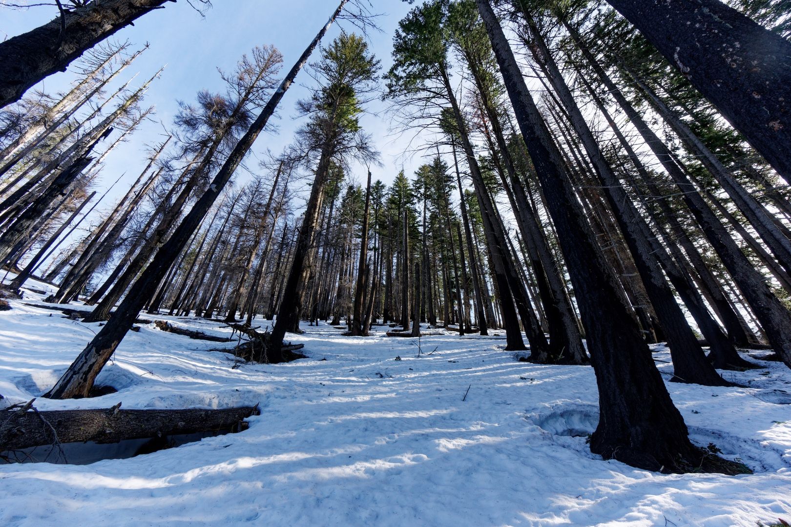 The uphill trek begins
 Yes, it’s steep
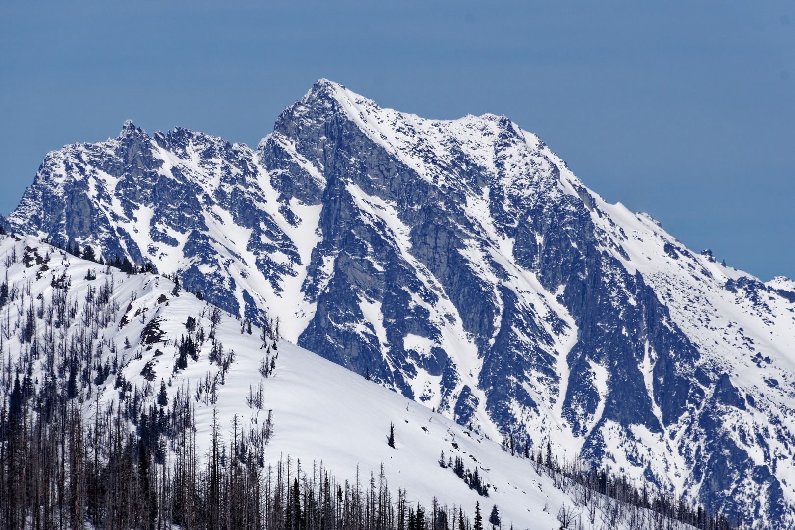
Topping out on a ridge at about 5,000 feet, Not So Sasse came into view to the NE and a few ski tracks were visible on its west face. Now with cell service, I made a FaceTime call home to share the beauty of my surroundings.
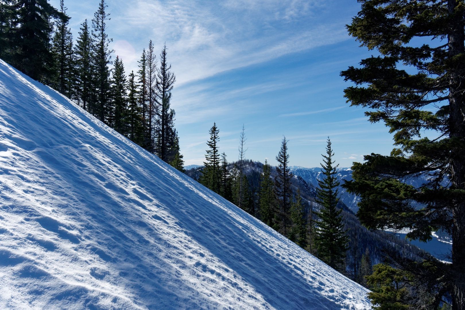
Traversing the ridge, I encountered some small cornices that were easily avoided. As the ridge turned north, steeper terrain sloped down to the east. Due to the lack of tree coverage through this section, the wind was a greater factor, but never significantly impaired my progress.
 Ridge traverse to Not So Sasse
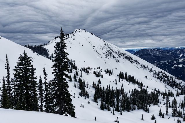
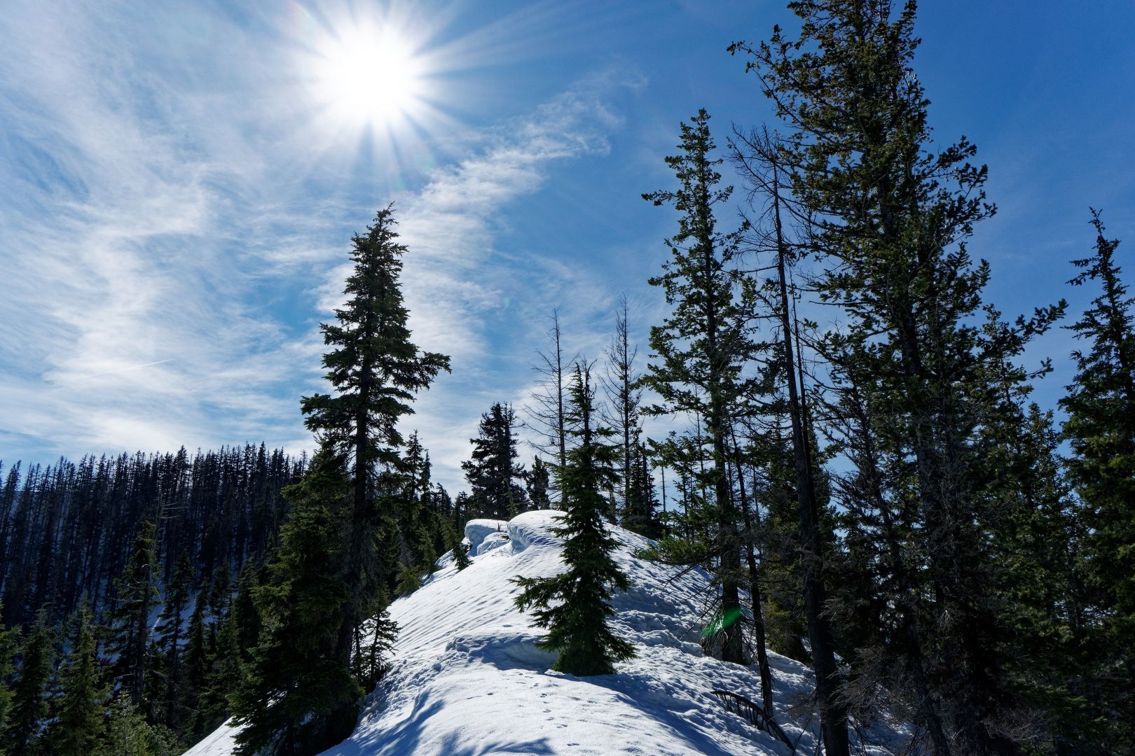
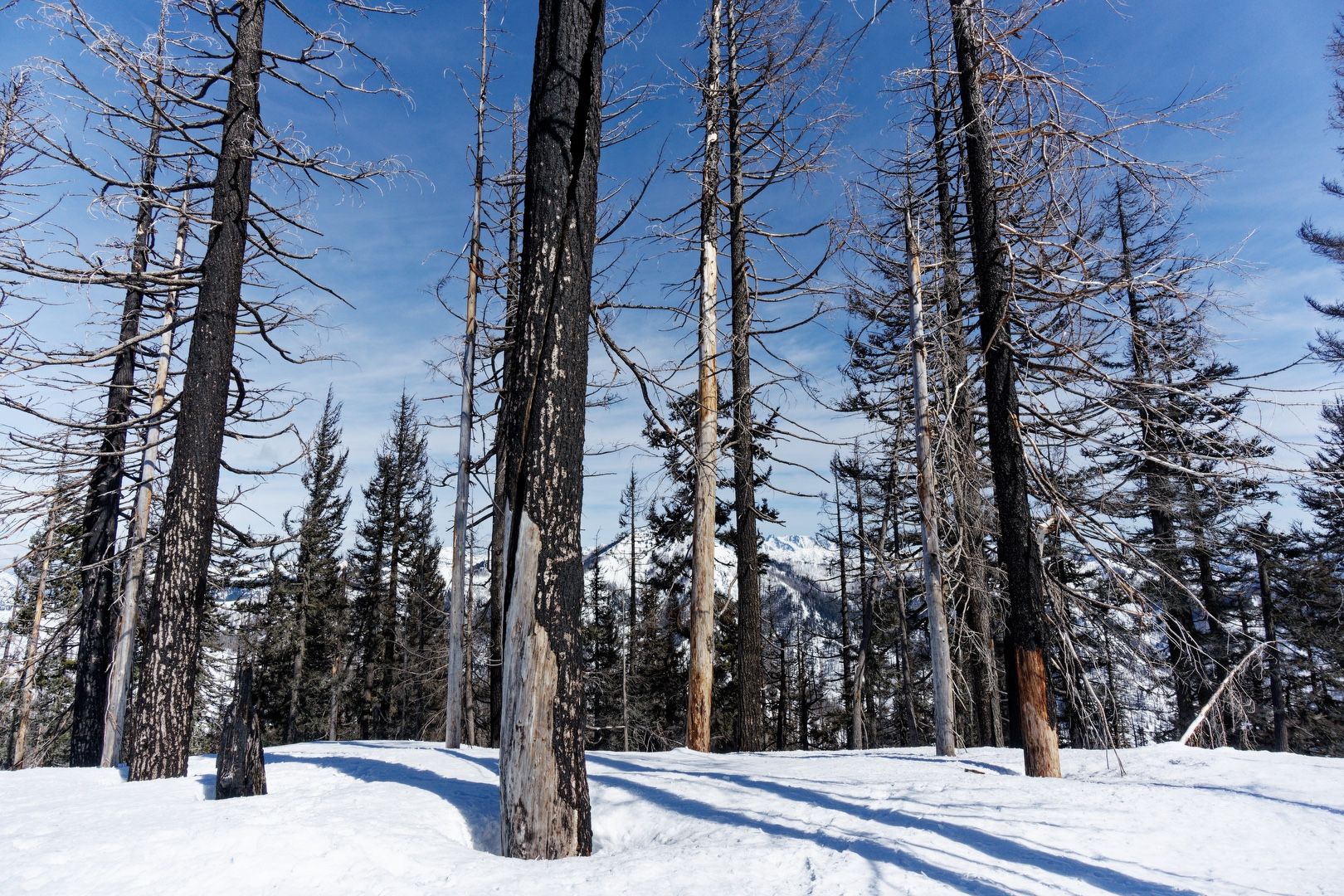
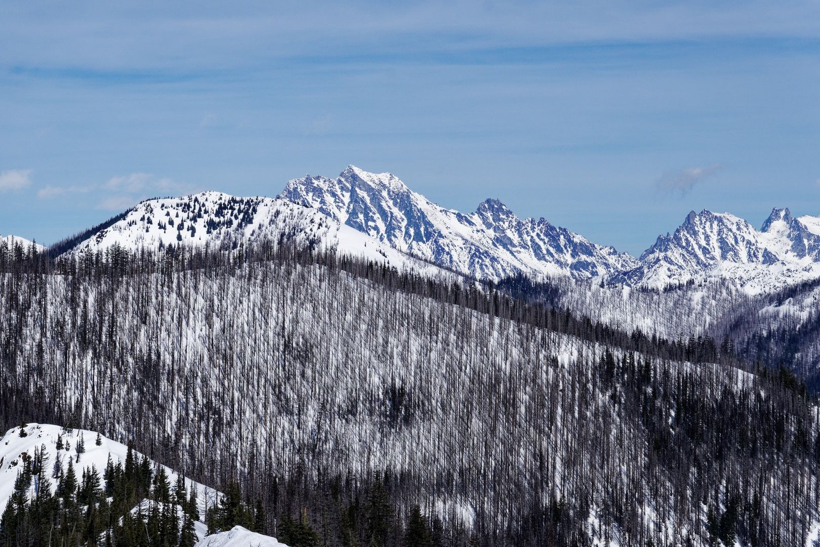
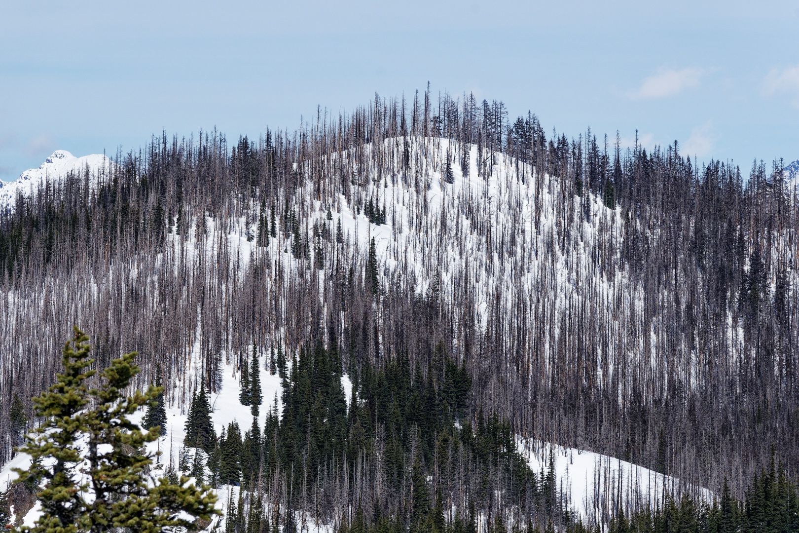
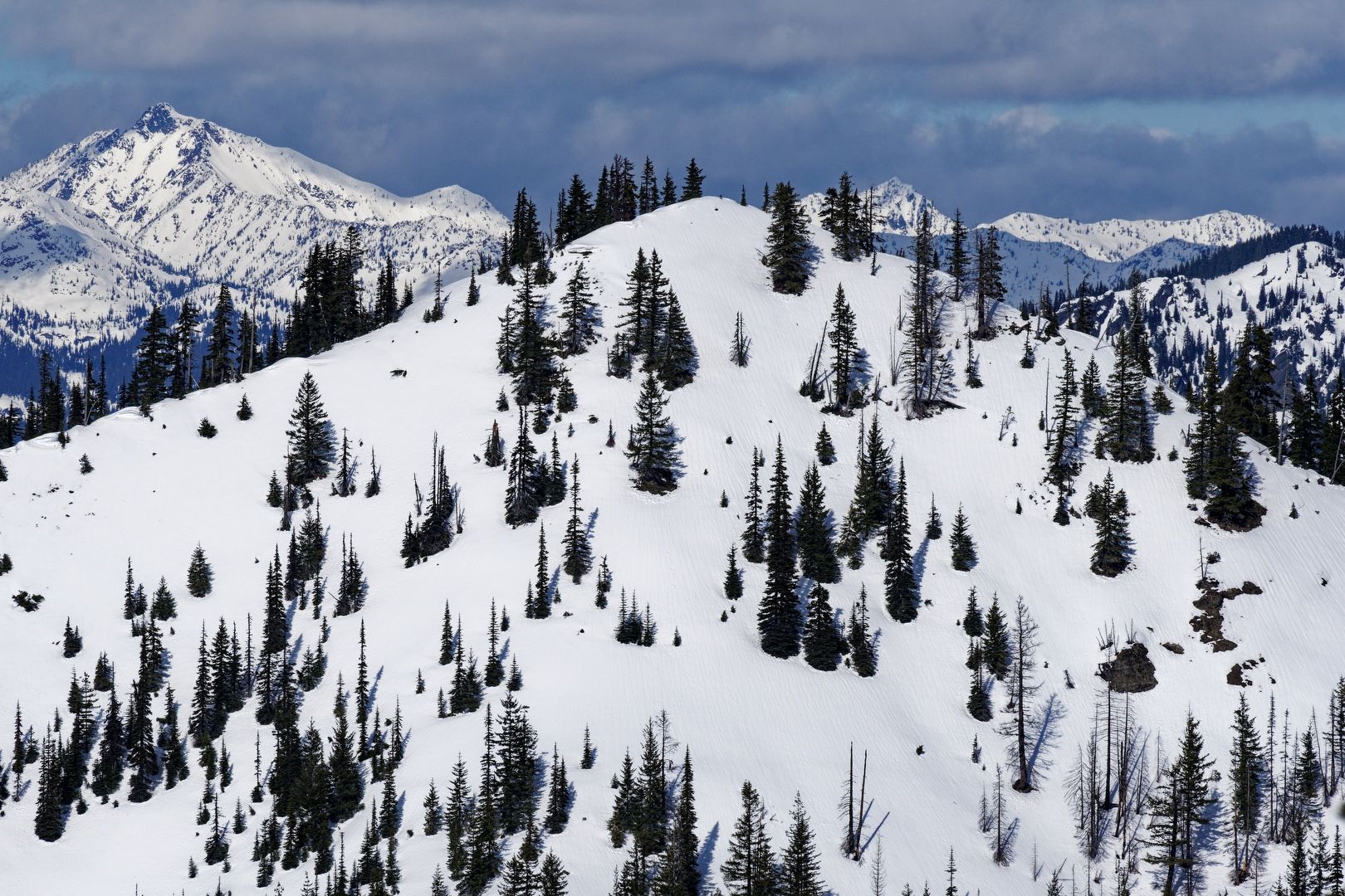
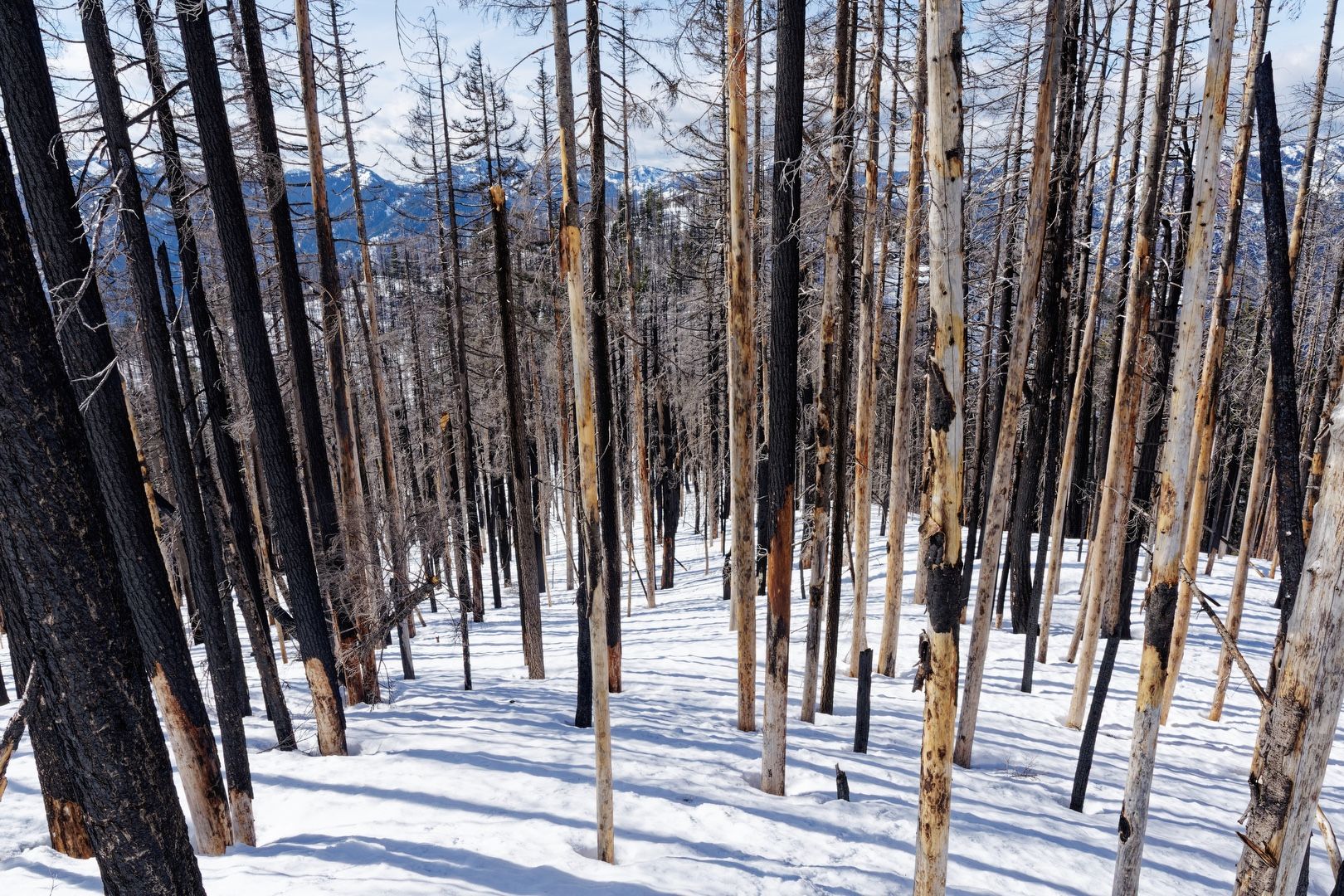
After reaching the high point of Not So Sasse, I followed the ridge to the east, descending and then regaining several hundred feet. After a gentle climb through a burned out forest, I arrived at noon on the broad summit of Sasse Mountain. Views to the north and west were obstructed by trees, almost all of which burned in the 2017 Jolly Mountain fire.
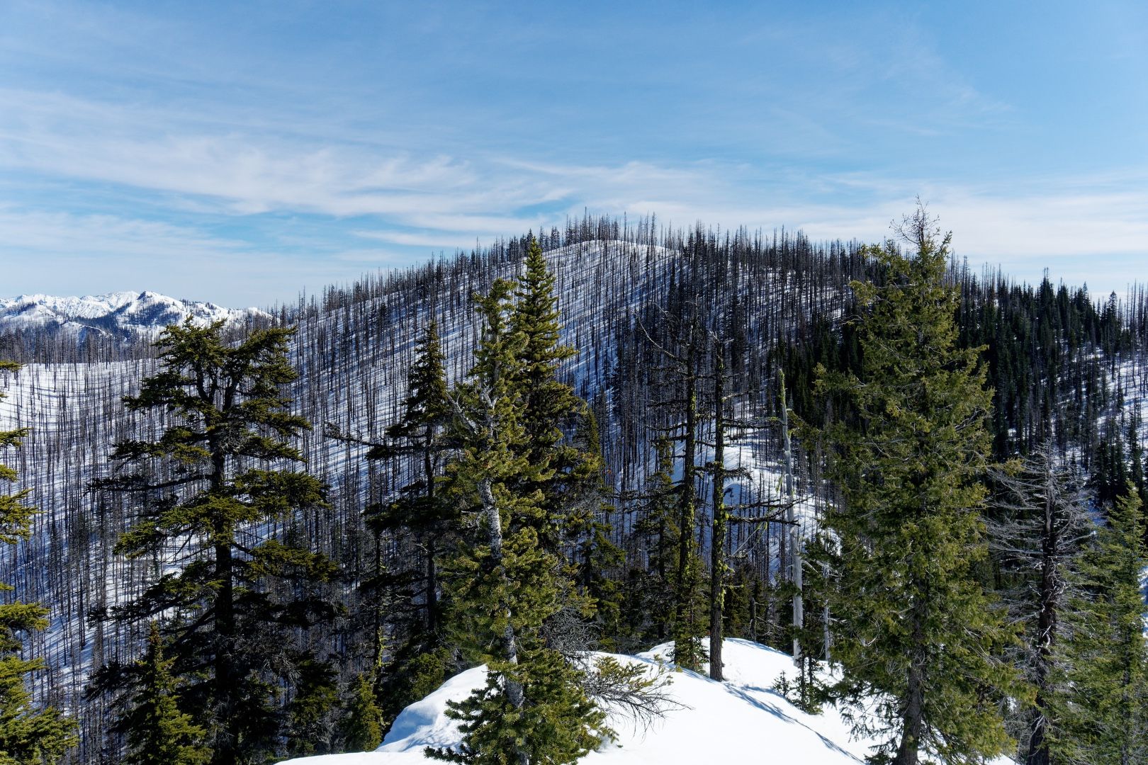 Sasse Mountain west face
 Sentinels on Sasse summit
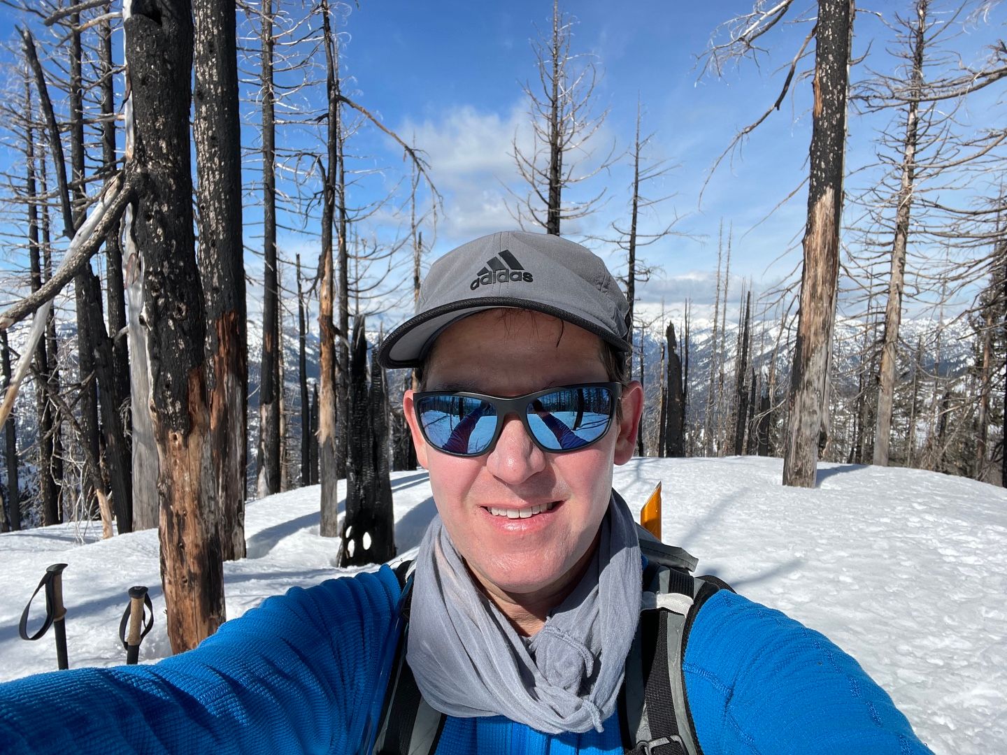 Sassy summit selfie
Because it was still relatively early, I decided to continue the loop by following the ridge toward Howson Peak. This section was the highlight of the day, requiring navigation along an occasionally razor-thin, corniced ridge. None of the cornices were very large, but fracture lines were visible and I carefully routed around them. I generally followed some snowshoe tracks that looked about 1-2 days old, but deviated from them when they were close to the cornice edges. Approaching Howson Peak, I scrambled over a few exposed boulders that were blocking the ridge line.
 Elbow Peak from Sasse Ridge
 Howson Peak from Sasse Ridge
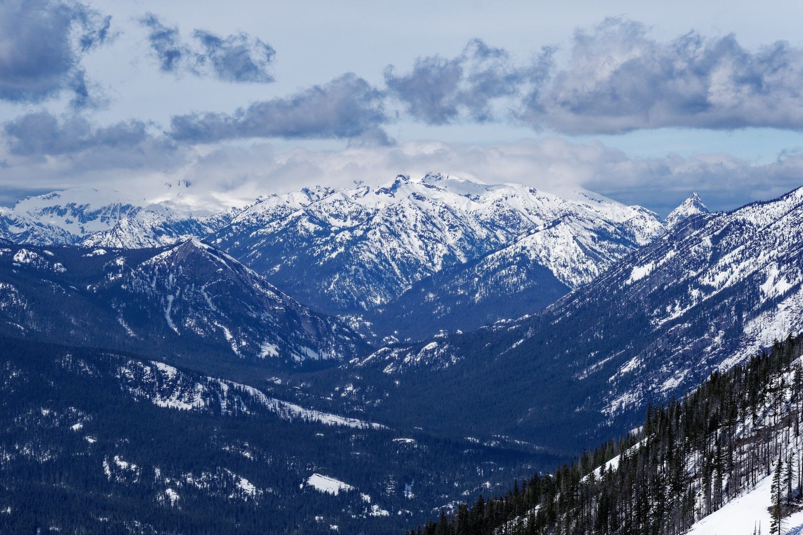
The views from Howson Peak surpassed those of Sasse and Not So Sasse, with nearly unobstructed views in all directions.
 Sasse, Jolly and Stuart from Howson Peak
 Mount Stuart from Howson Peak
 West View from Howson Peak
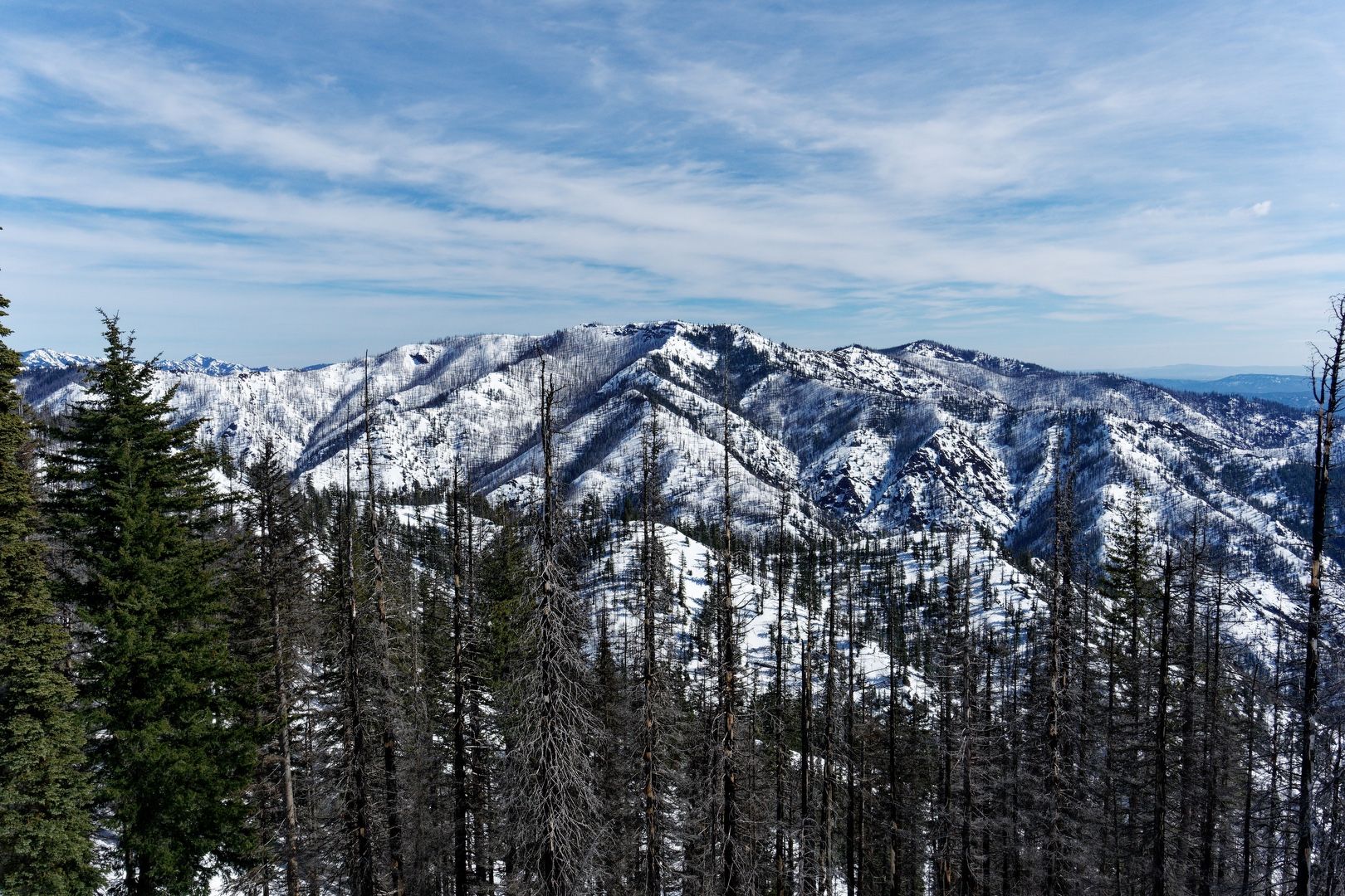
 Sasse Mountain from Howson Peak
 Not So Sasse from Howson Peak
After lunch and a few photos, I continued down the ridge to the west, losing several hundred feet of elevation before a gentle climb toward point 5159. Reaching the point, I encountered (and avoided) the largest cornice of the day. From atop the high point, views of a partially frozen Cle Elum lake were spectacular.
 Descending Howson Peak
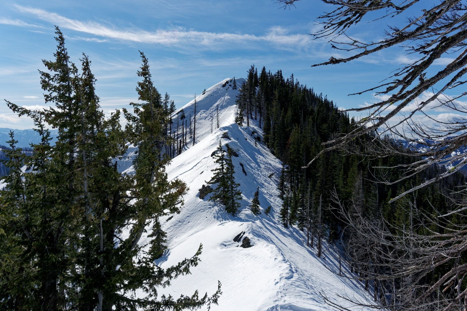
 Corniced point 5159
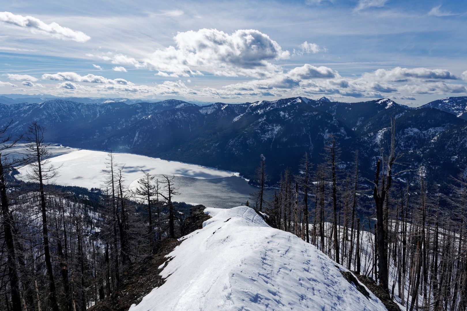 Cle Elum Lake from point 5159
Descending from point 5159, the fall line initially took me to the right toward Howson Creek, where the terrain steepened considerably. Correcting course back toward the left, I descended along a broad ridge. I kept my snowshoes on for the descent, but they were not helpful in the steepest sections and the snow was probably soft enough for plunge stepping. I actually down climbed in one steep section because I didn’t want to stop and remove my snowshoes. Completing the loop, I arrived back at the car at 4:30 PM. I didn’t see anyone else the entire day.
Starting elevation: 2,254 ft | Elevation Gain: 3,627 ft | Distance: 7.0 mi Equipment: snowshoes/traction, poles, ice axe, helmet