Amabilis Mountain
 Amabilis summit
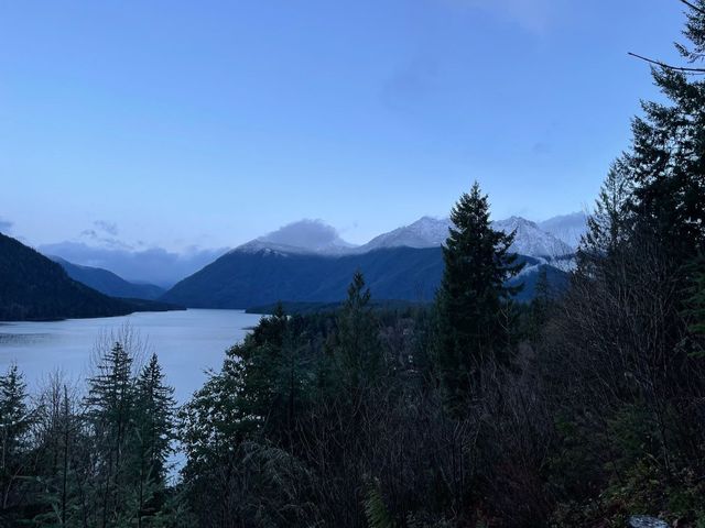
Ramona and I celebrated our 25th wedding anniversary with an early spring climb of Amabilis mountain. Named for the Pacific Silver Fir (Abies amabilis), Amabilis mountain is a solitary peak east of Snoqualmie Pass on the I-90 corridor. In Latin, “Amabilis” translates to “lovely”, and today the mountain certainly lived up to its name.
We arrived at the Cabin Creek Sno Park at 10:30 AM, finding only one other vehicle in the lot. A season pass with a special groomed trails sticker ($120) or a one day Sno Park permit ($25) are required to park in this lot.
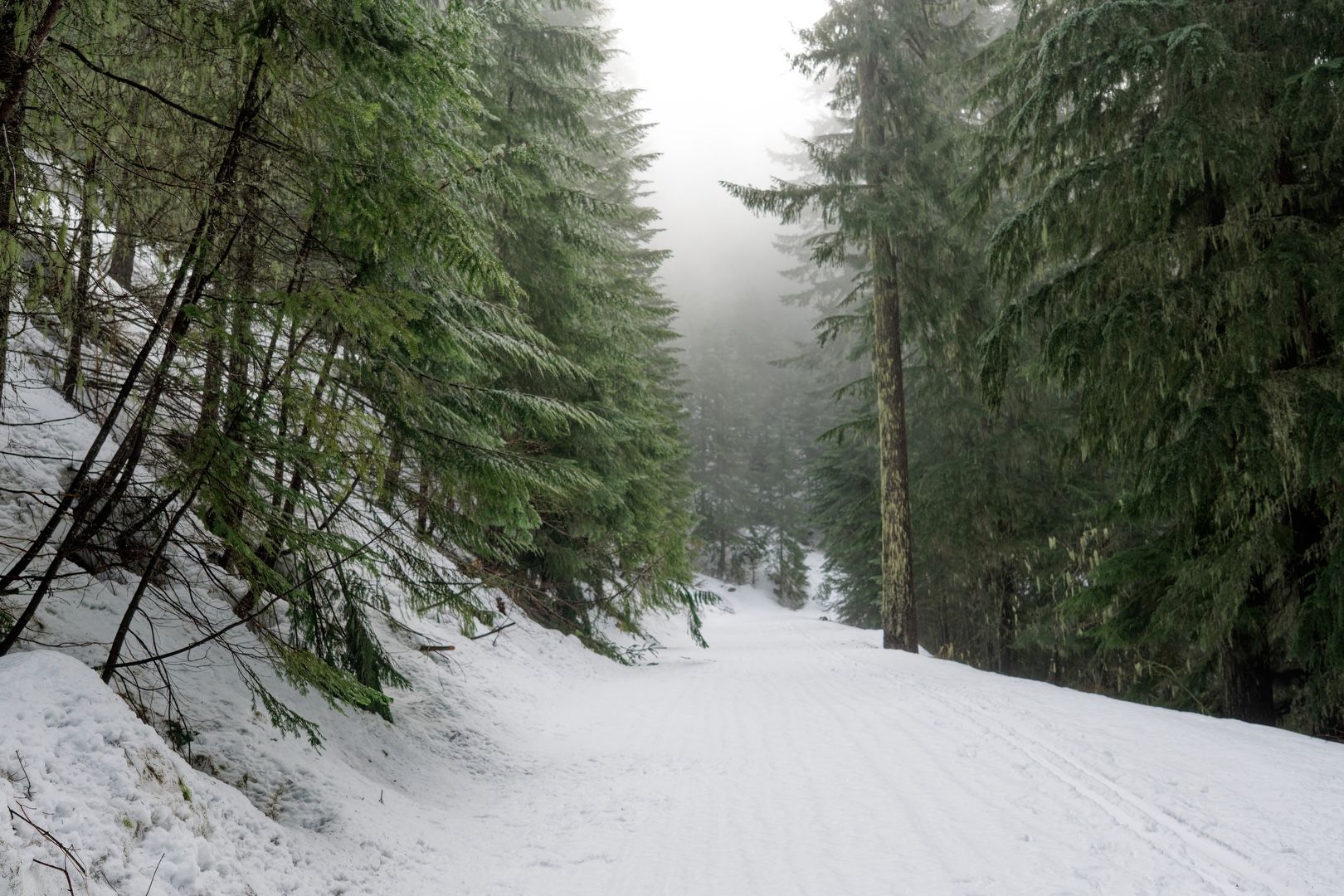
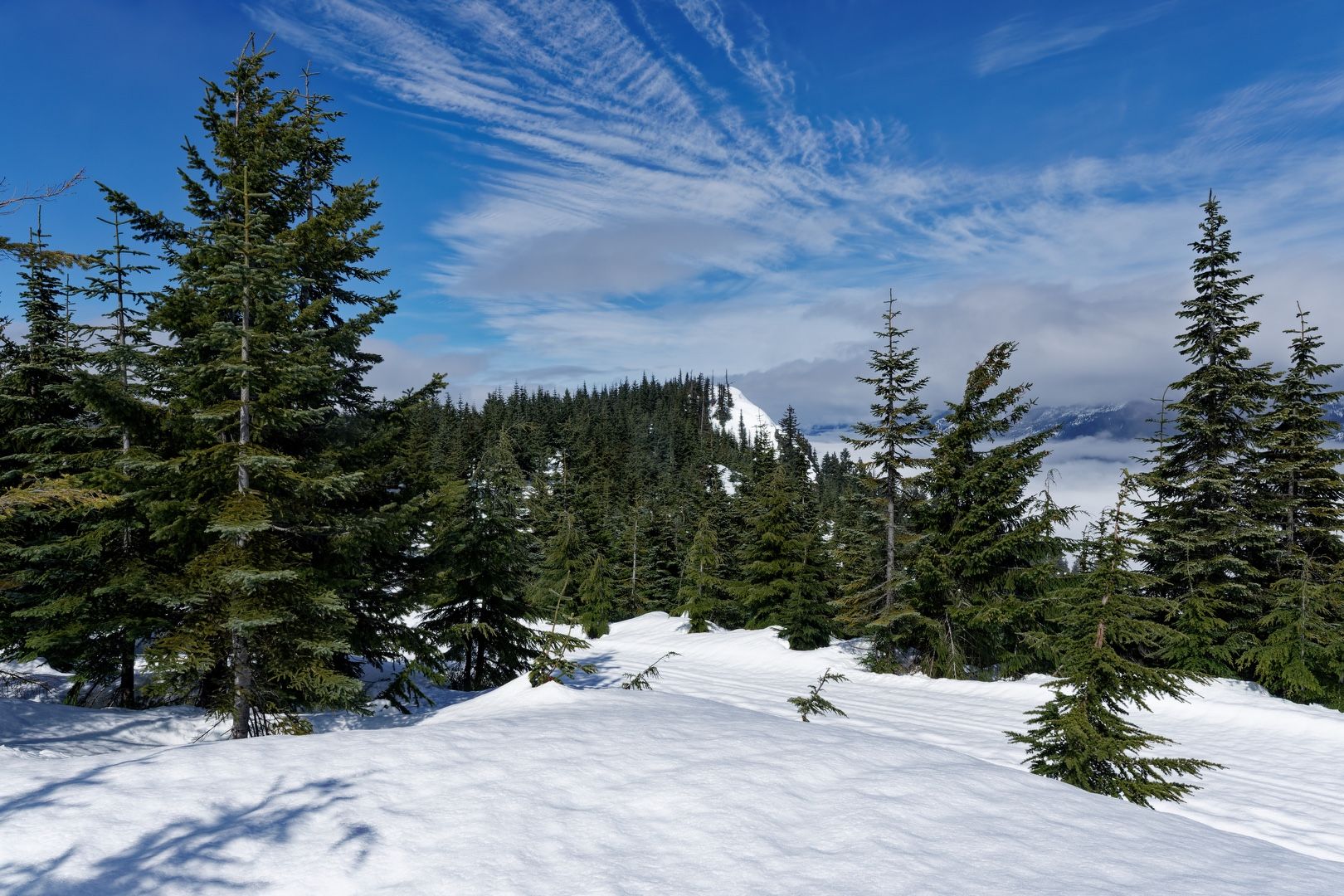
After crossing the I-90 overpass, we found the snow-covered trailhead. We strapped on our snowshoes and made our way down the groomed Forest Road 4826, being careful to avoid the cross country ski tracks set to one side.
The sky was overcast, but the forecast promised partly sunny conditions for later in the day. There was light precipitation on the drive to the trailhead, but conditions were dry as we began the hike. Avalanche danger was moderate below tree line, so we were on heightened watch for slide activity.
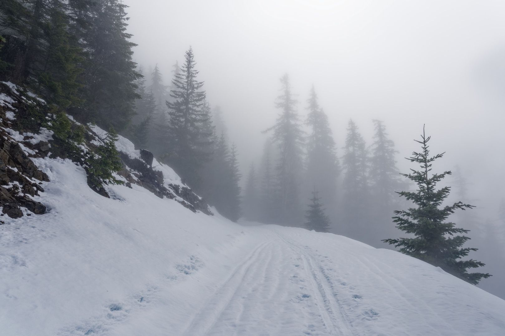
We branched to the right at Forest Road 4822 and began the long switchbacks upward, the vehicle sounds from I-90 eventually dissipating. We crossed below several steep gullies, but none showed evidence of recent avalanche activity.
 Misty mountain meandering
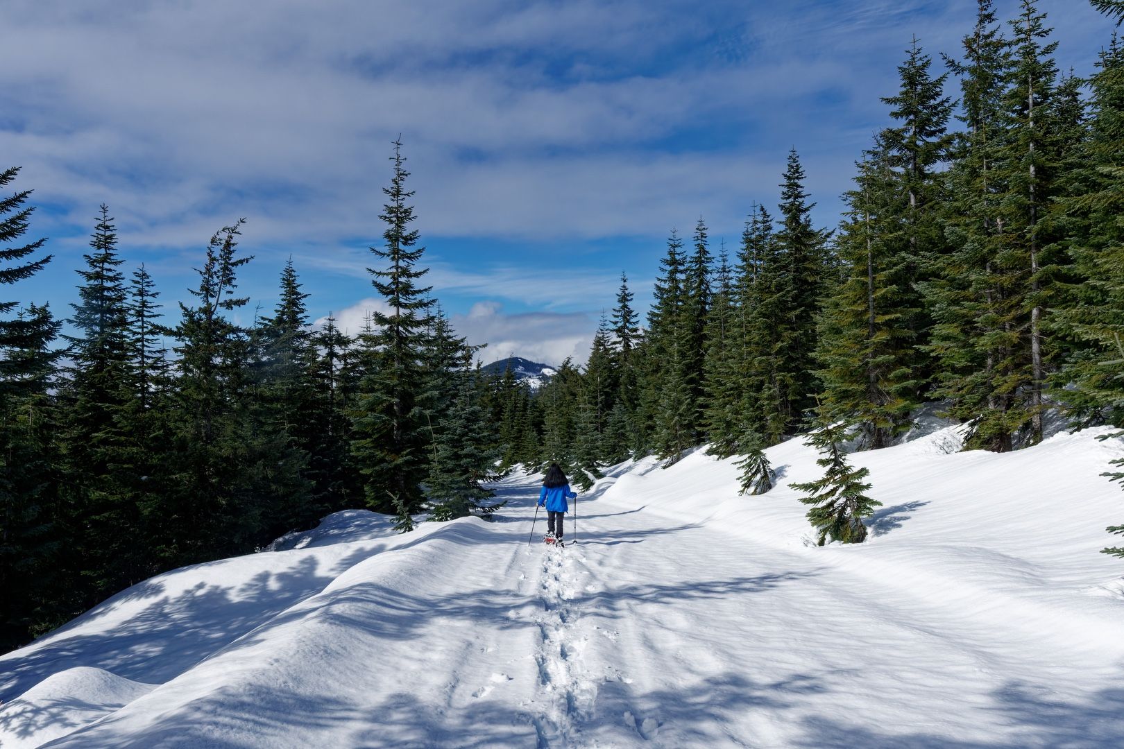
Reaching the “Y”, we opted to go straight (staying right). Soon we were in deeper snow and were sinking in 5-6 inches, even in our snowshoes, slowing our pace and sapping our energy. We didn’t see any obvious spots to cut through the switchbacks, so we stayed on the main road.
 Into the clouds
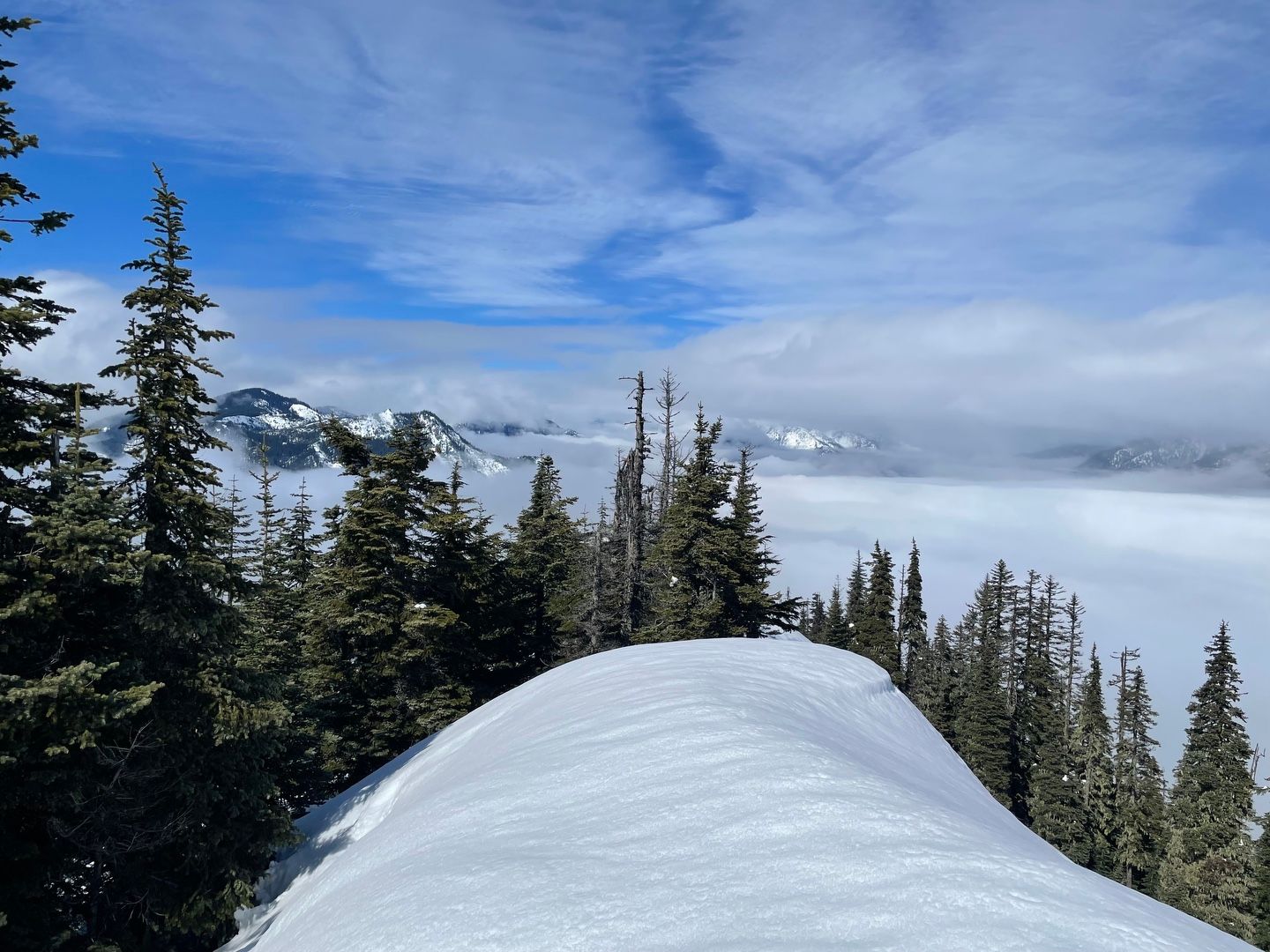
We eventually emerged into a flatter area that looked like it went to the summit. Using the contour of the mountain as our guide, we headed to what we thought was the high point, but after consulting the map, we realized we were heading toward point 4554, marked on the old USGS map as “Amabilis Mtn Beacon”. We backtracked, turning north toward a saddle connecting to the summit.
Patchy clouds and sun filled the skies now. We eventually caught sight of the summit and it looked farther away than the 0.3 miles indicated by the GPS. It was now 1:00 PM and we were running low on energy, so we stopped in a wooded, snowy area on the approach to the summit to eat lunch.
 So close, yet so far
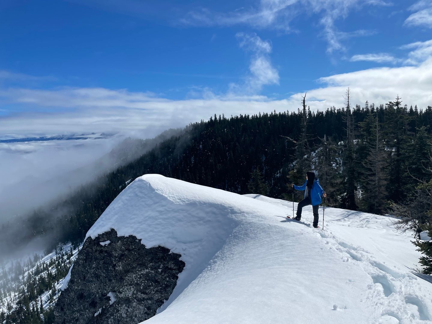
From what we could see of the summit, it appeared that we were about 30 minutes away. With our late start, we were nearing our turnaround time and for a few minutes, I considered turning back. But with renewed energy from lunch, I decided to head up a ways to see if I could tag the summit while Ramona waited for me to return. Rising over a small snow-covered crest, I realized I was already at the summit after only a 5 minute walk. What we thought was the summit earlier was the shoulder of Amabilis, much farther off in the distance. I called Ramona and she soon joined me on the summit. There were clouds in the basin to the west, so we did not have a view of Kachess Lake, but we could see Kachess Ridge beyond, bracketed by clouds above and below.
 Sublime summit scene
The summit did not appear to be corniced, but we did not venture close to the edge. After enjoying the view for a few minutes, we began the trek down. Instead of retracing our steps, we turned right on a forest road that would eventually take us to the left arm of the “Y” lower down the mountain. Along the way, we met two guys hiking up the road, one shirtless and neither with snowshoes. We exchanged a quick greeting and encouraged them that they were “almost there”. Aside from these two, we saw nobody else on the whole day.
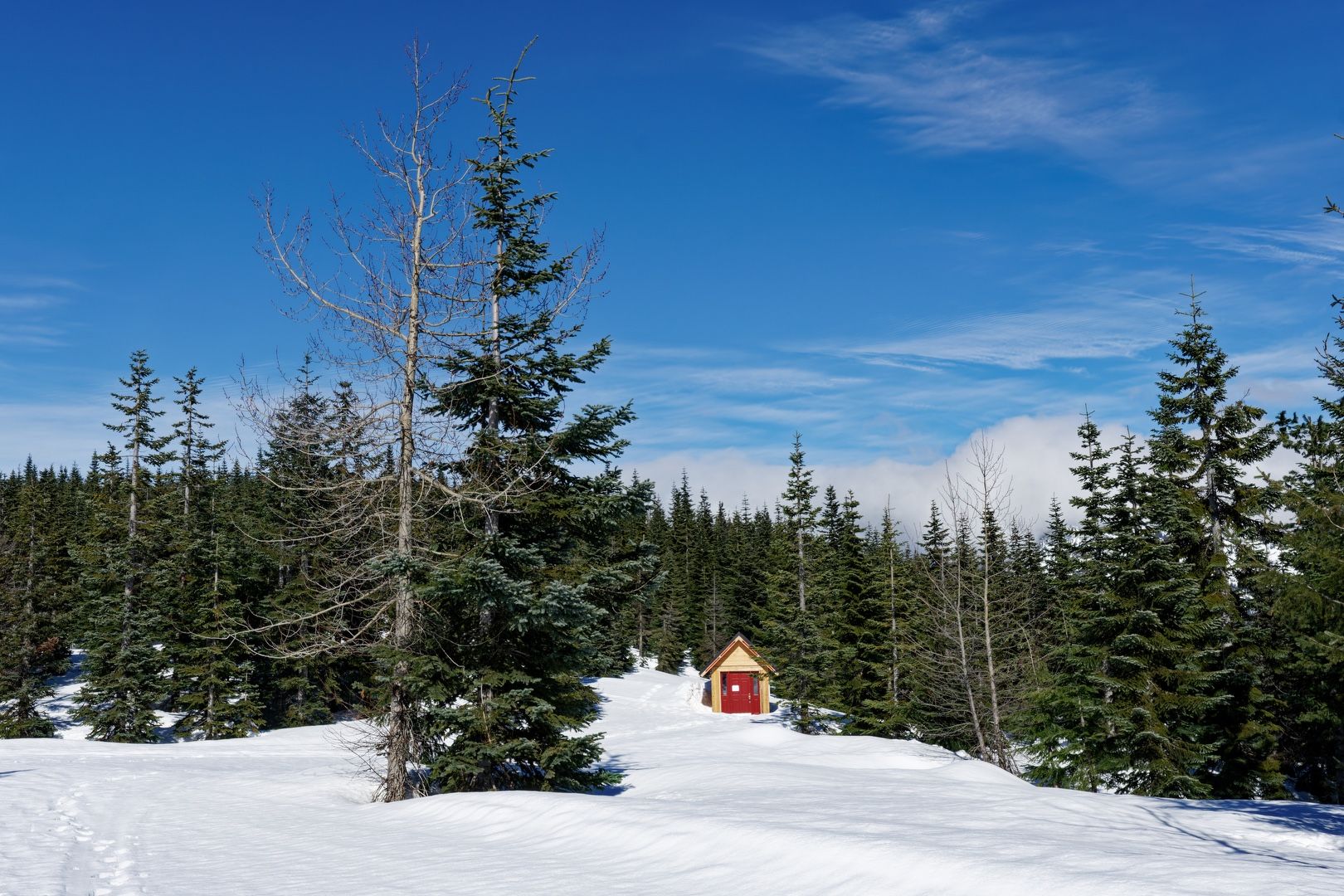
We passed by a beautifully constructed snow shelter on the way down. Walking on the road with compact snow was much easier going down than it had been on the other side of the loop going up, so we made good time. We contemplated cutting one of the switchbacks, but after encountering steep terrain, we decided against it and doubled back to the road.
 Snow shelter
About 30 minutes into the descent, I realized that I was missing the GoPro I usually carry in a small harness attached to my backpack belt. The harness was still there, but the camera must have slipped out at some point. I had no idea where it might have fallen and we did not have the time to retrace our steps, so I resigned myself to the loss and continued to head down the mountain.
 It’s all downhill from here
We arrived back at the trailhead at 5 PM and were soon at our vehicle. There was only one other car in the lot. I decided to leave a note about my lost GoPro on the windshield in case the the vehicle belonged to the two hikers, who I thought may have seen it on their way down.
After arriving back home, I received a text message from one of the hikers notifying me that they had indeed found the GoPro and would be happy to return it to me! It was a great way to end a celebratory day on a lovely mountain.
Starting elevation: 2,452 ft | Elevation Gain: 2,063 ft | Distance: 11.0 mi Equipment: snowshoes, poles